Trinity Bay Bluffs, Marsh and Bay Lots in Chambers County
Trinity Bay forms the northeast part of Galveston Bay, running about 20 miles from the mouth of the Trinity River toward the main bay. Anahuac sits near its head and Beach City lies toward the San Jacinto River side, with Chambers County marsh and prairie along much of the east shore. The Trinity basin supplies about 54 percent of all fresh water entering the Galveston Bay system.
A Bureau of Economic Geology study of shoreline change found Trinity Bay retreating at roughly 73 percent of measured sites since 1930. High bluffs make up about 31 percent of the shoreline and low bluffs about 12 percent, while deltaic marsh near the river lost ground fastest, around 3 feet a year. The same study names everyday wind-driven waves as probably the main erosion agent on bay shores. Storms add to it: Hurricane Ike's surge pushed 15 to 18 miles inland in Chambers County. A bluff lot keeps losing its toe unless something stops the waves at the base.
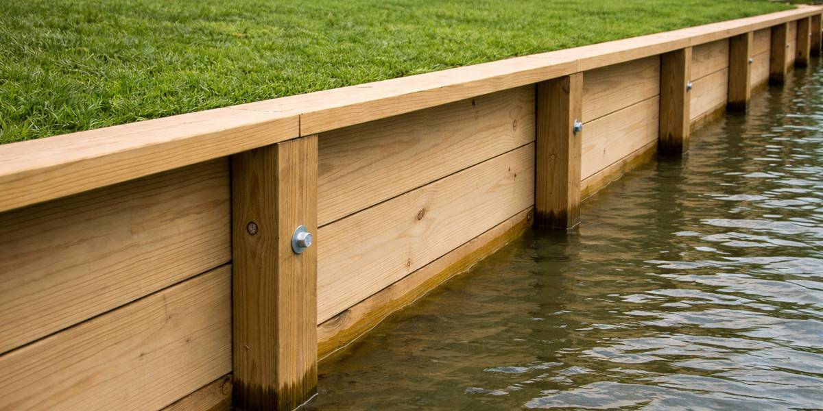
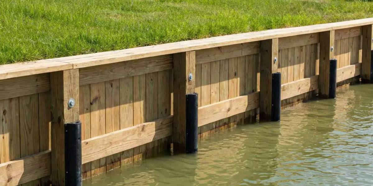
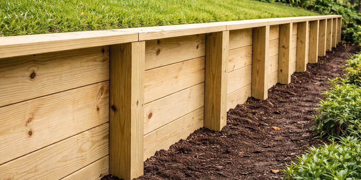
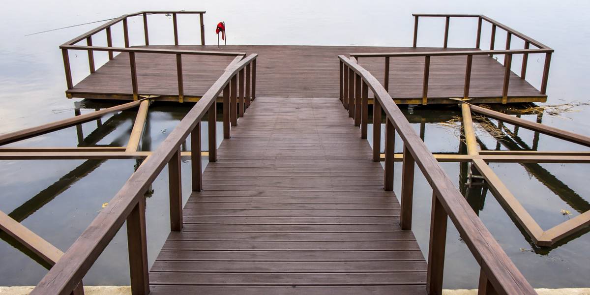
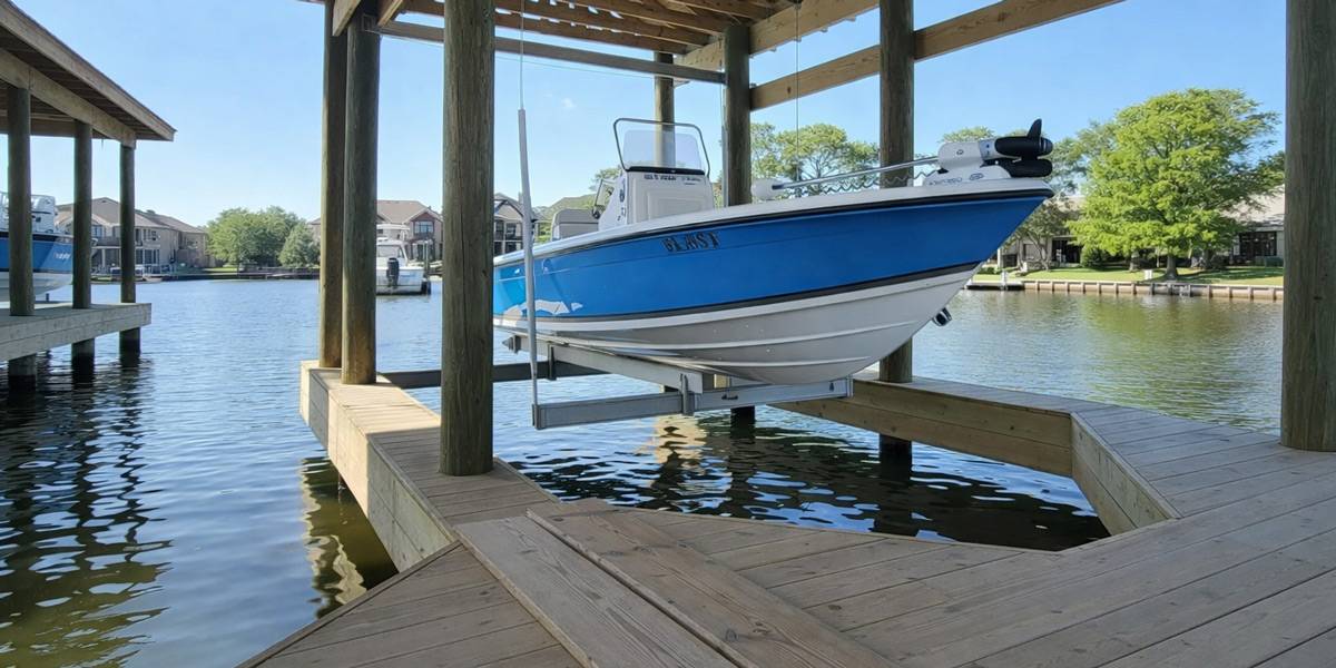
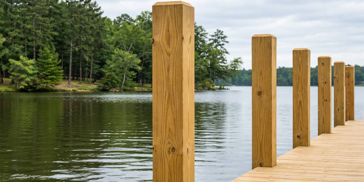
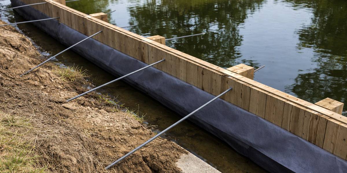
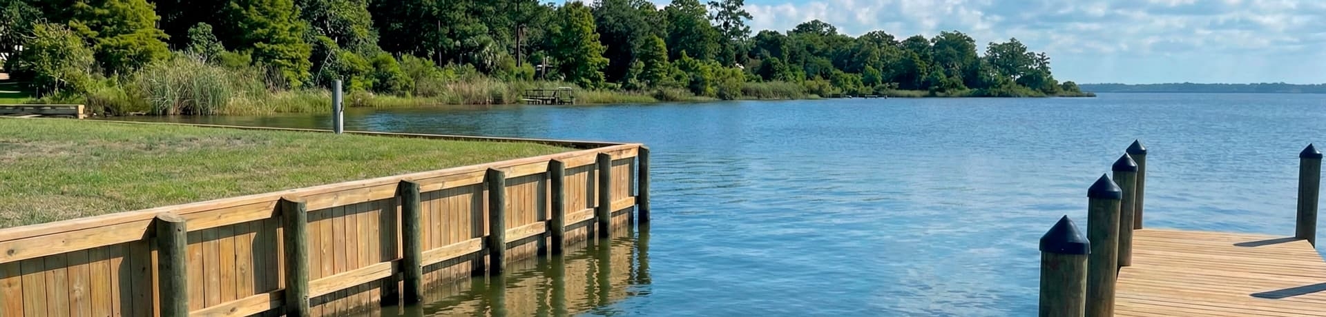
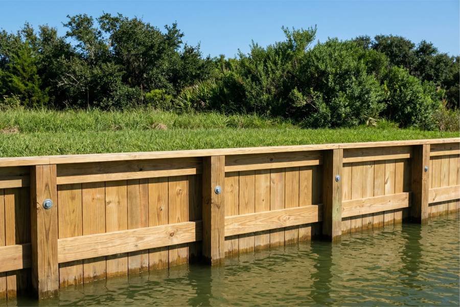
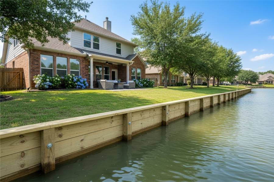
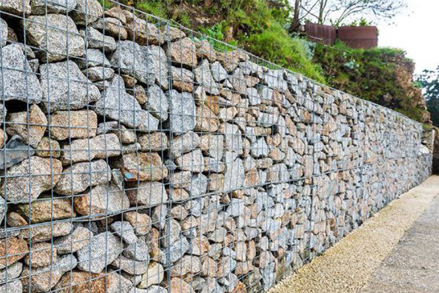
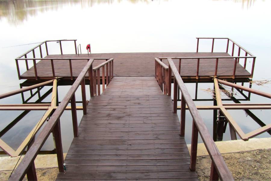
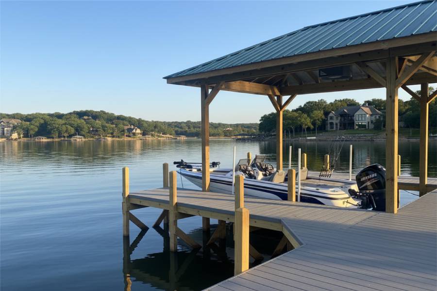
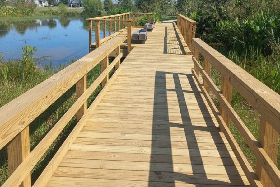
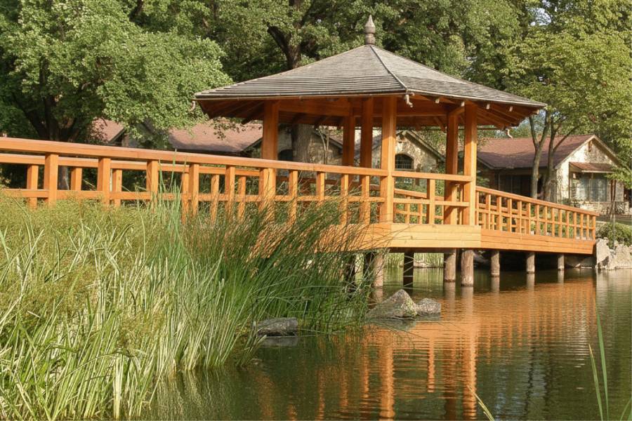
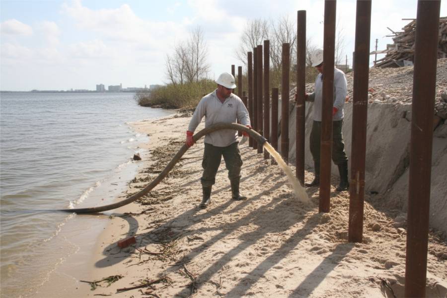
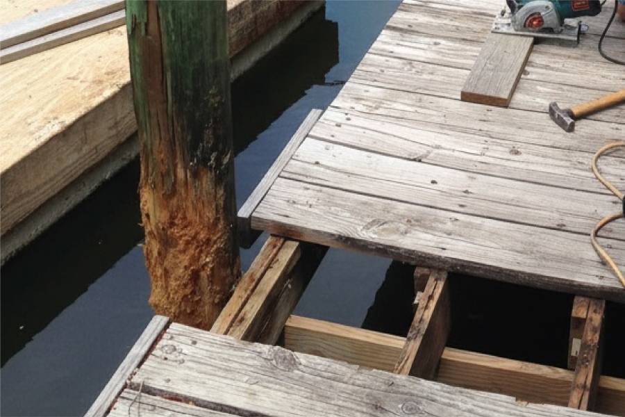
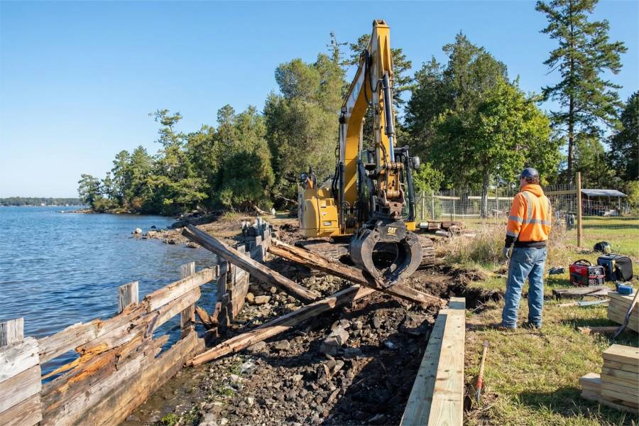
Shoreline Protection Services in Trinity Bay, TX from Shore Protect Team cover bulkheads, seawalls and retaining walls for bluff and low-bank lots, plus marine pilings, piers, docks, boat slips and repairs.
Mail or text us photos of your Trinity Bay bank and the address, and we will reply with a free preliminary estimate.