Canal Lots and Bay Frontage on East Matagorda Bay Near Sargent
East Matagorda Bay covers about 37,810 acres in Matagorda County, closed off from the Gulf by the Matagorda Peninsula. Its only true opening to the Gulf is Brown Cedar Cut near the north end of the peninsula, and no large river feeds it, so it runs on local runoff and tide. Marsh with few trees lines much of the edge. At the northeast end, Caney Creek reaches the Intracoastal Waterway and the bay below Sargent, where 1960s canals dug off the creek and the waterway created rows of waterfront lots.
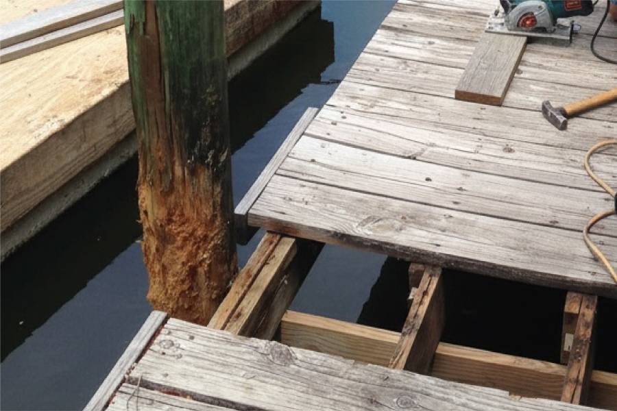
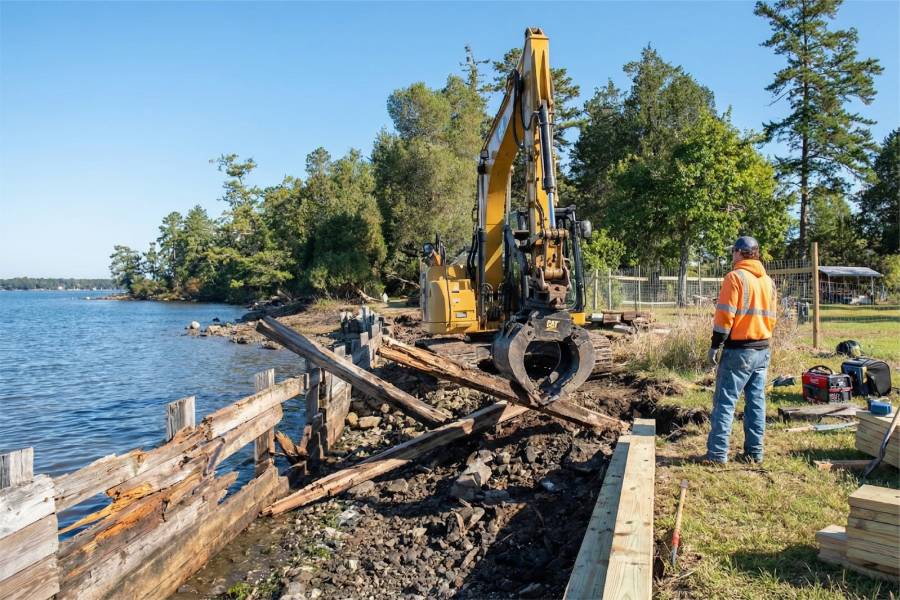
Erosion here is not abstract. On the Gulf side near Sargent, the shoreline retreated about 11.5 feet per year in 2014 to 2015, and the peninsula's clay makes it recede faster than pure sand. An 8-mile revetment protects the waterway, yet the beach access and its mooring dock closed in 2024 after storm damage. Canal lots see less wave energy, but wind and tide keep water moving through them, and old wood walls fail at the joints.
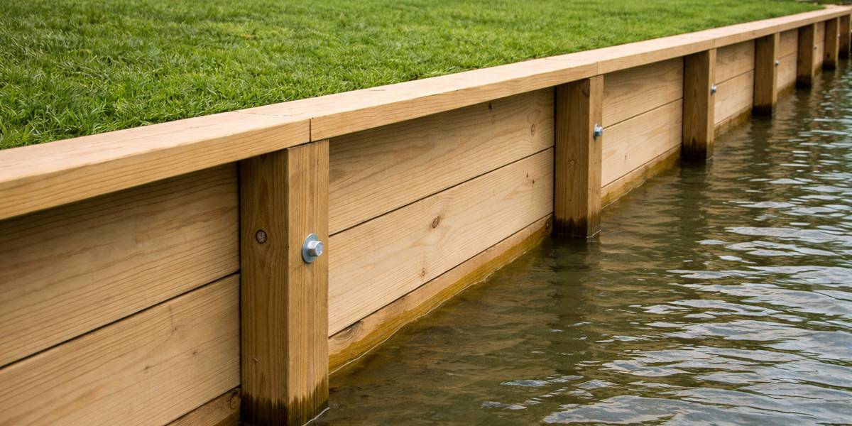
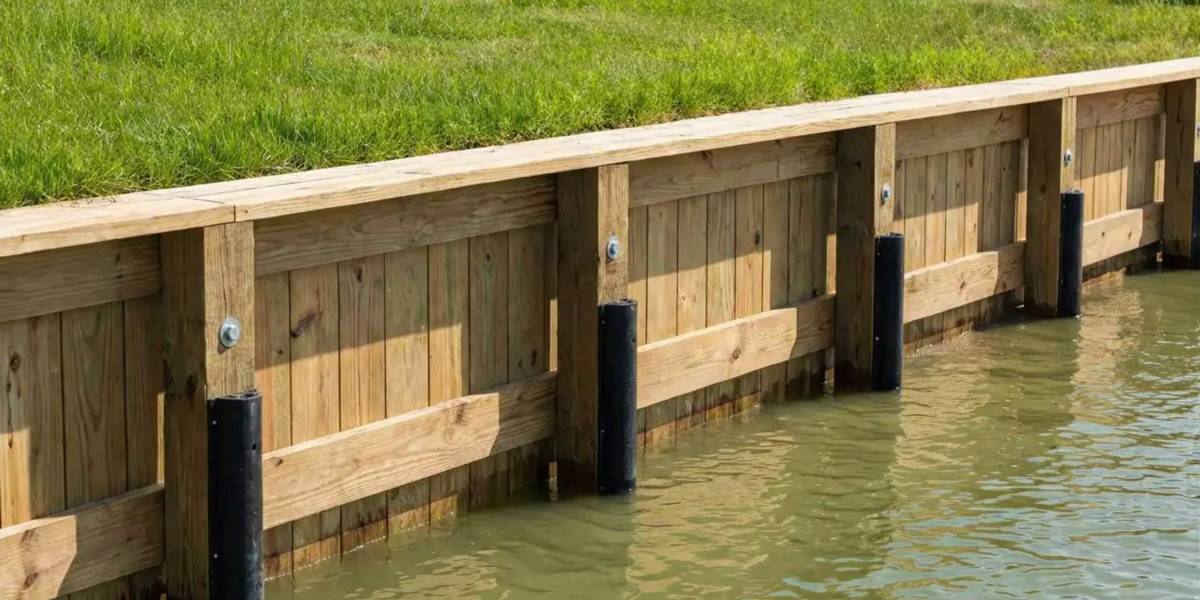
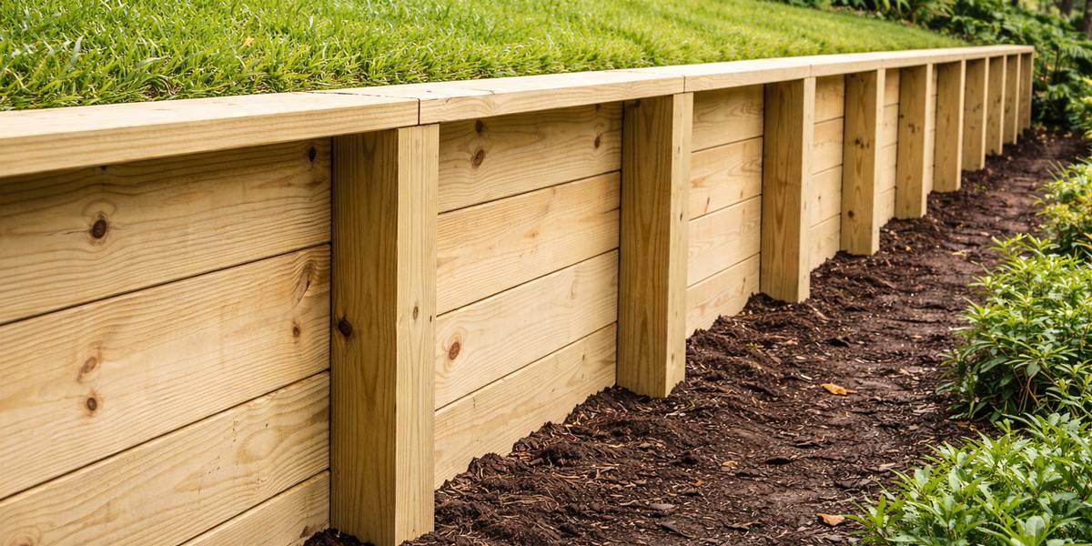
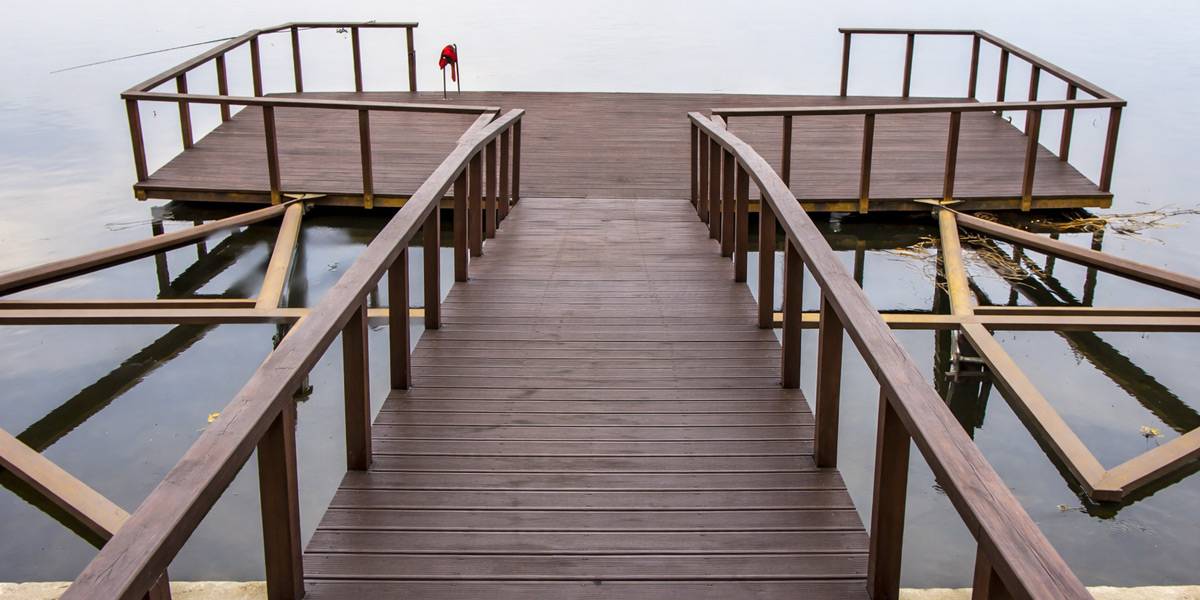
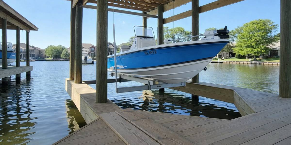
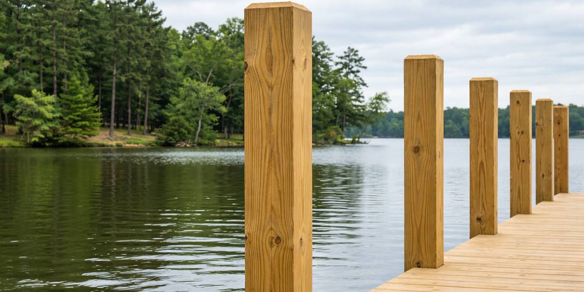
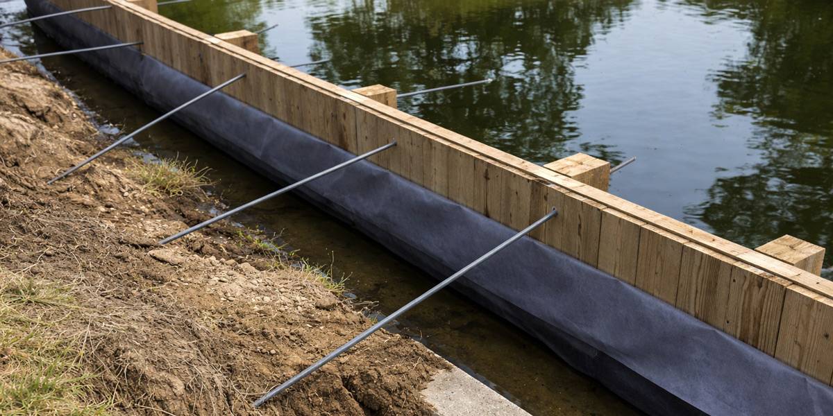
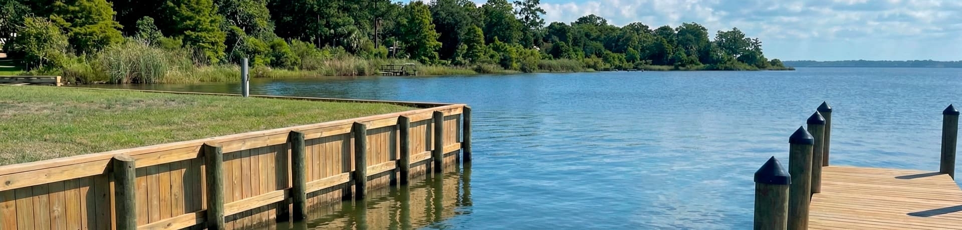
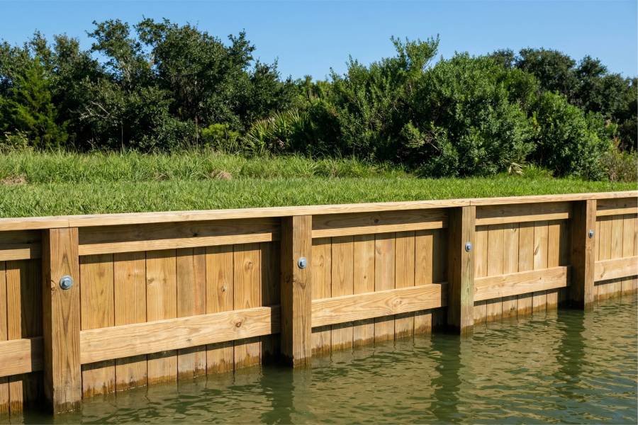
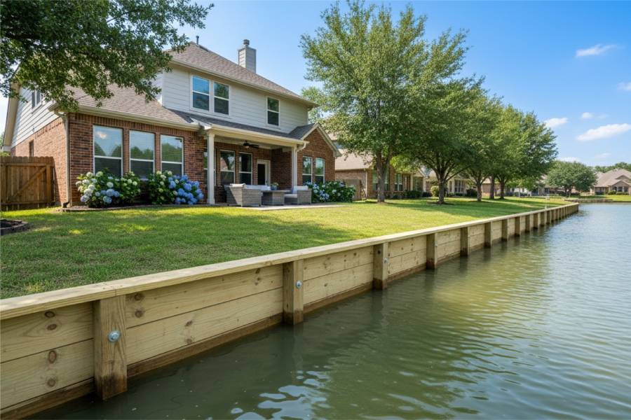
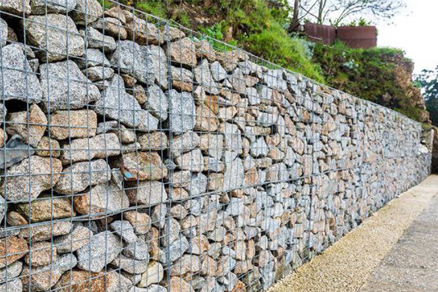
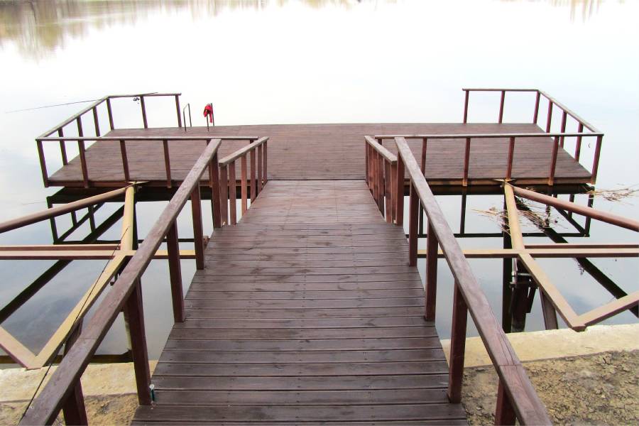
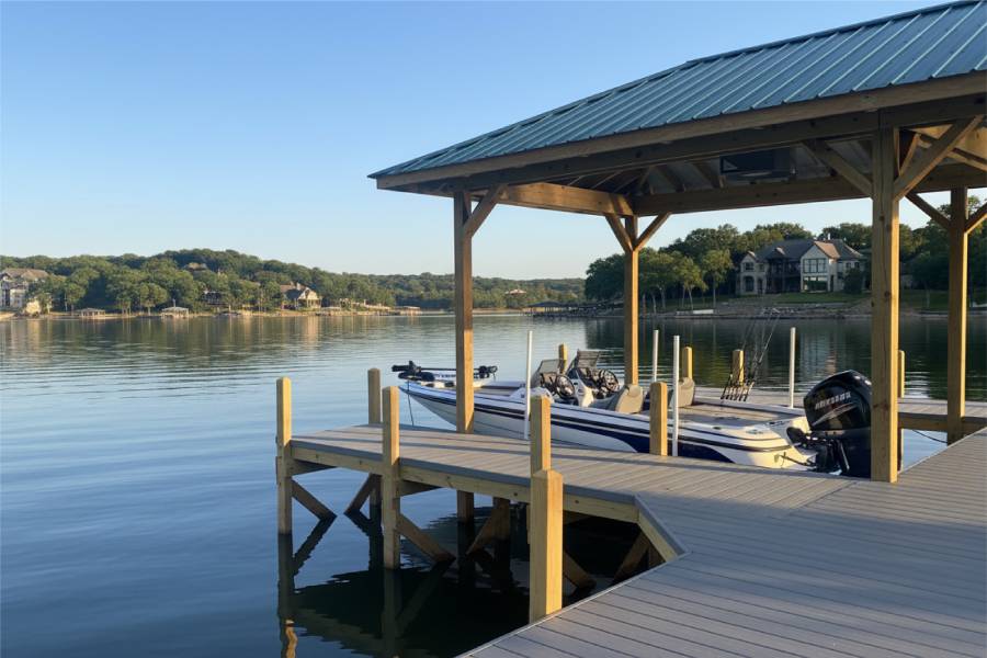
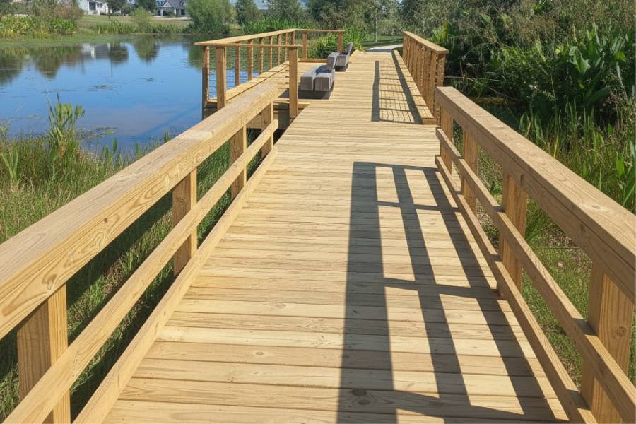
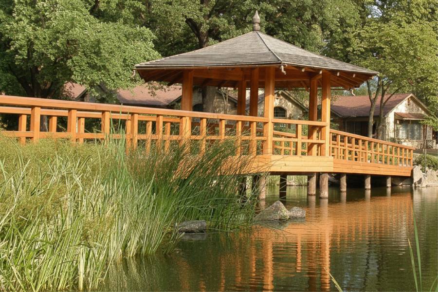
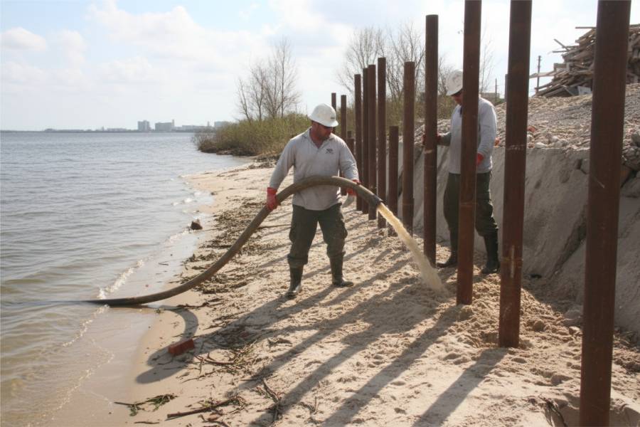
Bulkheads, seawalls, retaining walls, pilings, piers, docks, boat slips and repairs are what we bring to Waterfront Erosion Control in East Matagorda Bay, TX.
Send photos of your canal or bay frontage with the address, and expect a free preliminary estimate.