Two Basins, One Canal: Banks and Docks on Lake Tyler East and West
Lake Tyler is really two reservoirs joined by a canal. Whitehouse Dam formed the west lake on Prairie Creek in 1949, and Mud Creek Dam created the east lake in 1967 on Mud Creek, the headwater of the Angelina River. The canal tied them together in 1968. Together they cover about 4,700 acres roughly eight miles southeast of Tyler in Smith County, and the City of Tyler owns and operates the lake.
Both spillways crest at the same 375.38-foot elevation, a concrete chute at Whitehouse Dam and a concrete weir at Mud Creek Dam, so the two basins rise and fall together. TPWD lists normal fluctuation of only about 2 feet. The bigger stress is traffic: TPWD notes that boating and personal watercraft use can get very intense in summer. With the level that steady, wake keeps striking the same few feet of bank all season. Vegetation is thick at the upper ends of both lakes, especially hydrilla in Tyler East.
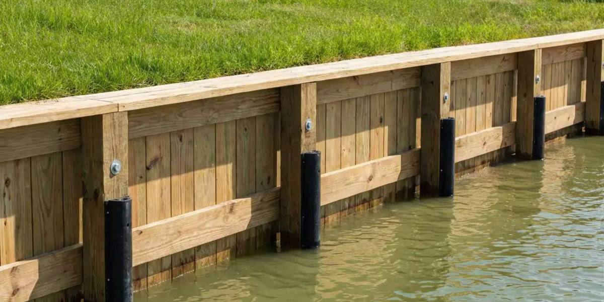
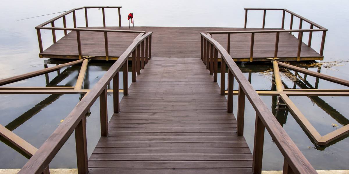
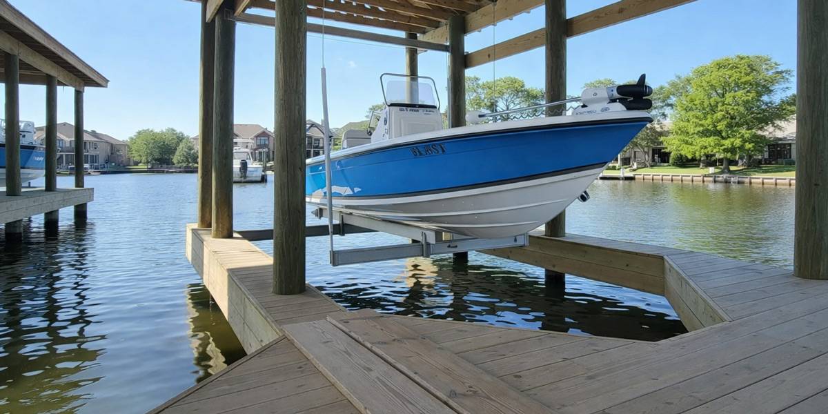
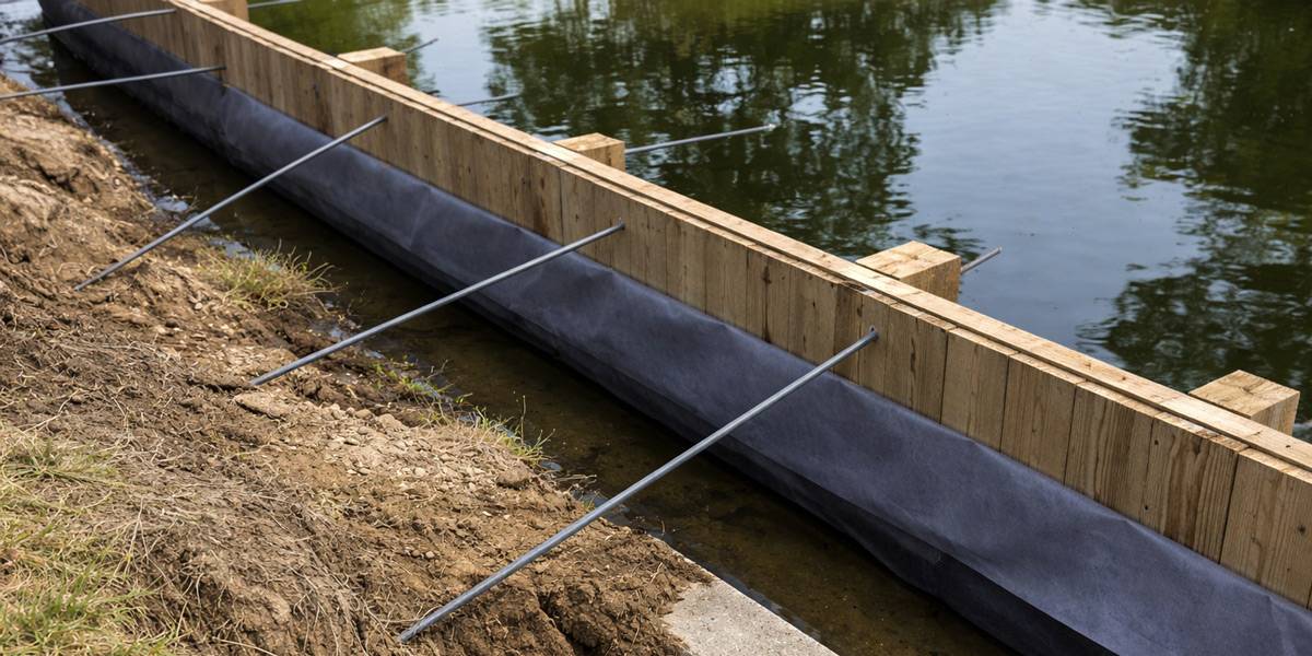
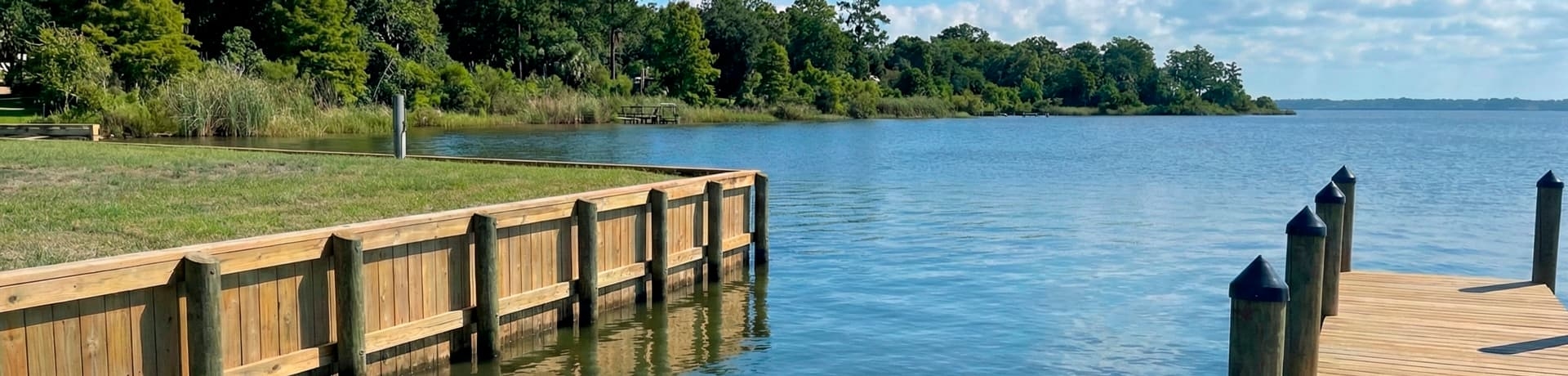
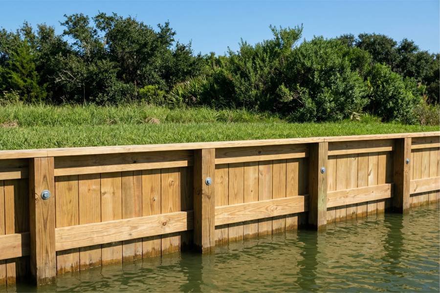
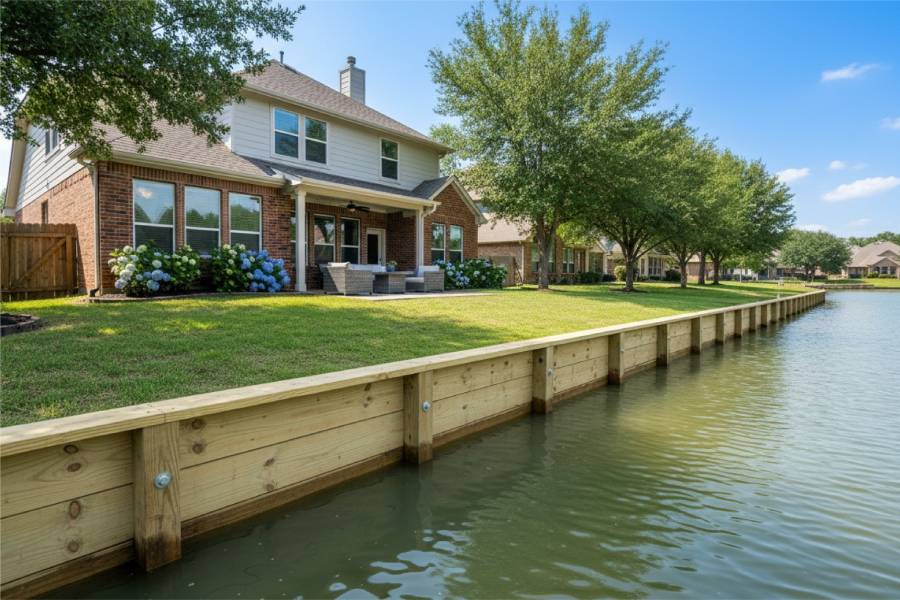
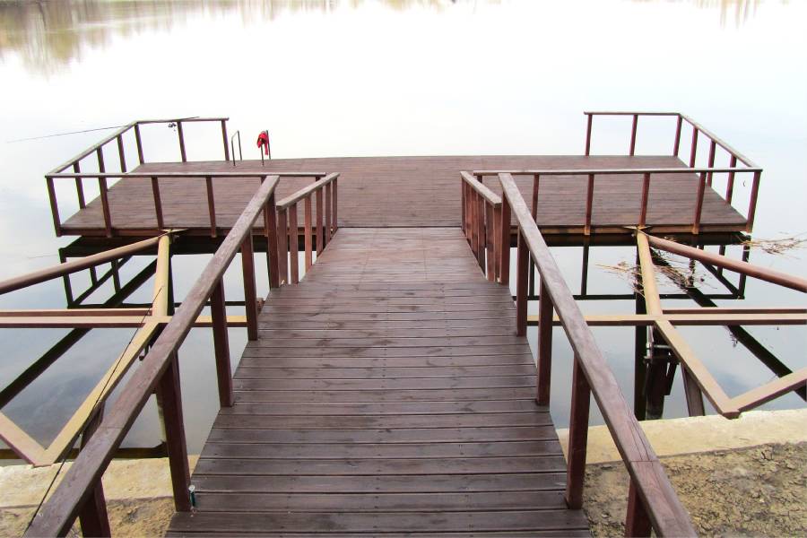
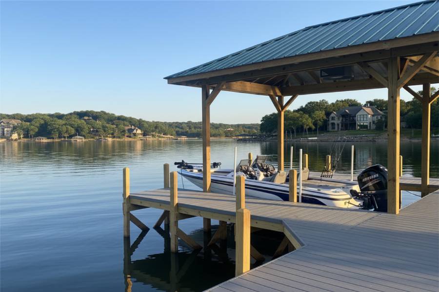
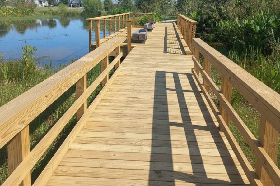
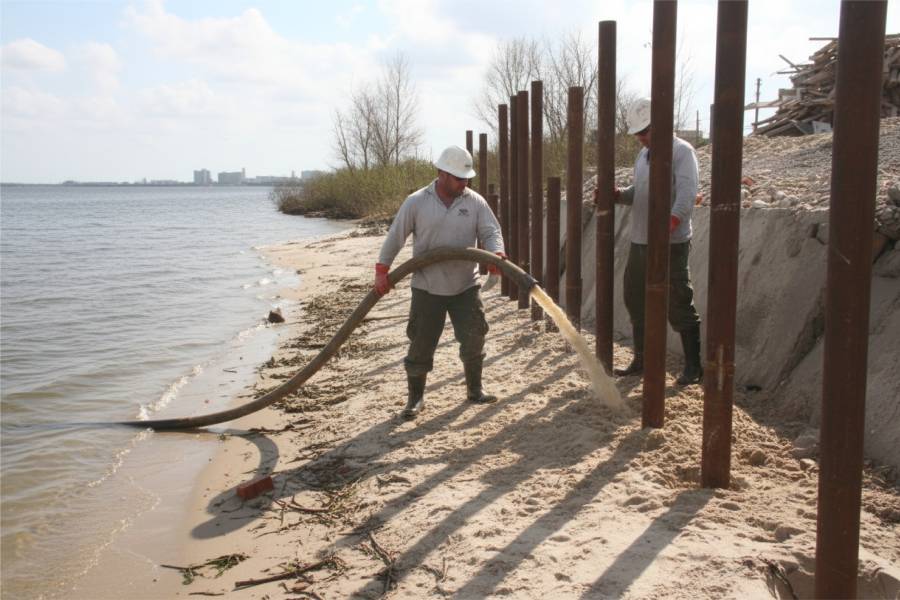
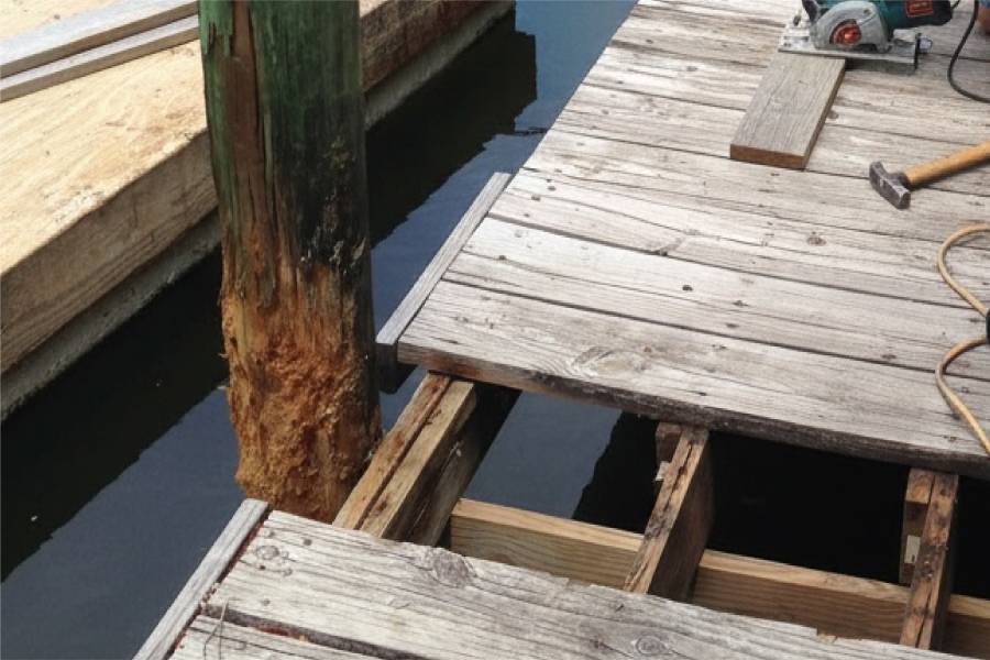
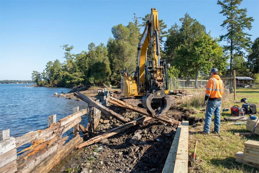
We provide Shoreline Protection in Lake Tyler, TX on both basins. Bulkheads and seawalls hold the wake-worn band, retaining walls level sloped yards, and pilings carry new piers, docks and boat slips. Loose or worn structures get repaired.
Send the address, mention if the lot sits on Tyler East or Tyler West, and attach a few photos. A free preliminary estimate goes back by email.