Slow, Long Floods on the Lower Trinity River Through Liberty and Chambers Counties
No river with its whole course inside Texas is longer than the Trinity. From the meeting of the Elm and West forks just west of downtown Dallas, it runs 423 miles to the coast. Its basin covers nearly 18,000 square miles across all or part of 37 counties. At the northern line of Liberty County the river swings almost due south, crosses Liberty and Chambers counties, and empties into Trinity Bay just west of Anahuac. Before railroads took over, steamboats worked its lower channel.
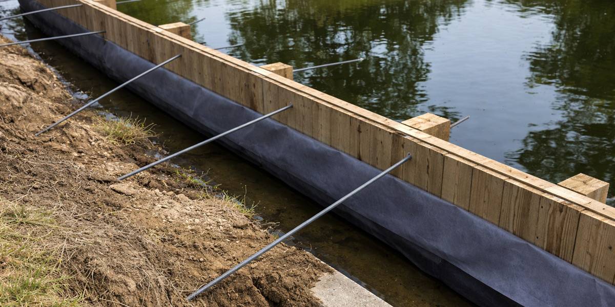
Flooding on the Trinity changes character along its length. Up near the forks, intense thunderstorms throw off rapid runoff and flash floods. In the middle and lower basin, floods move slowly and can last a long time. The annual flow averages about five million acre-feet but swings widely, and the 1908 flood remains the worst on record. Banks of clay, clay loam and sandy loam stay saturated during those long high-water periods. Wet backfill loses strength, so walls on the lower Trinity need good drainage and solid tiebacks.
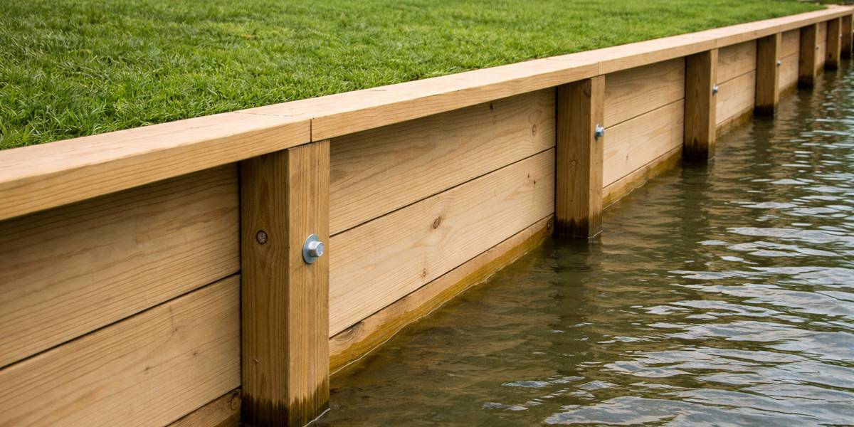
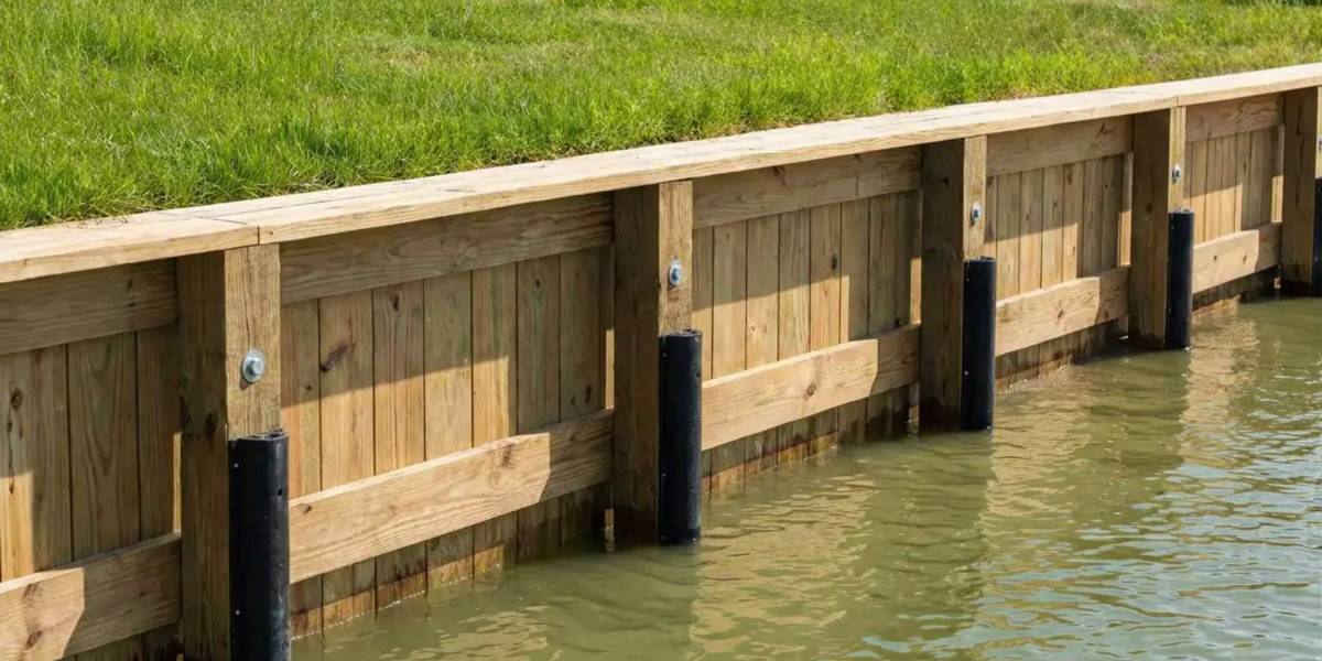
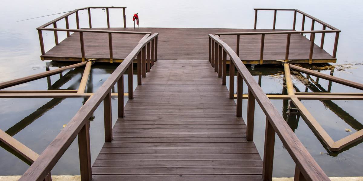
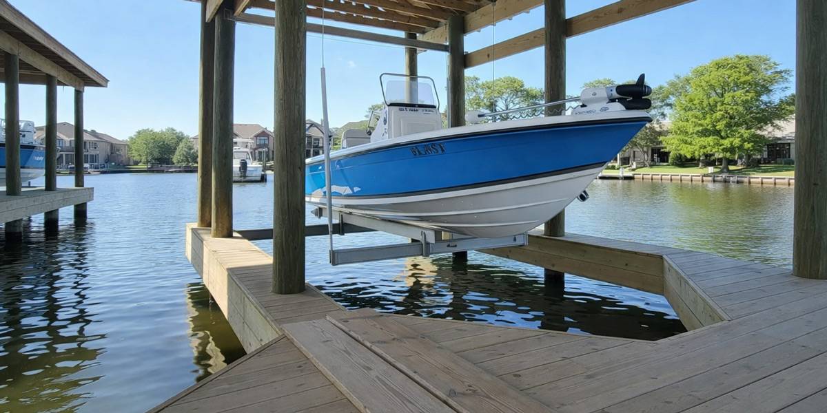
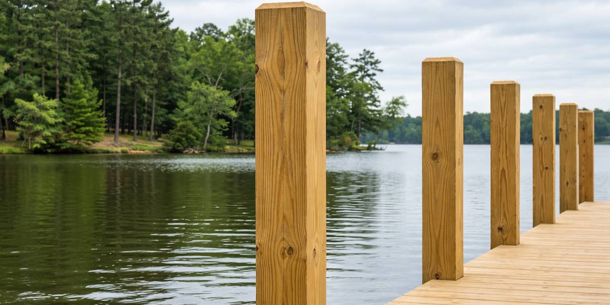
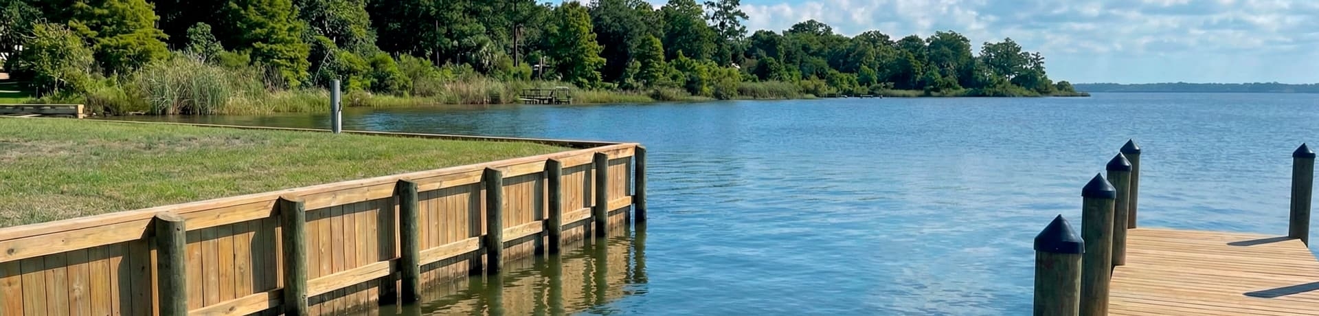
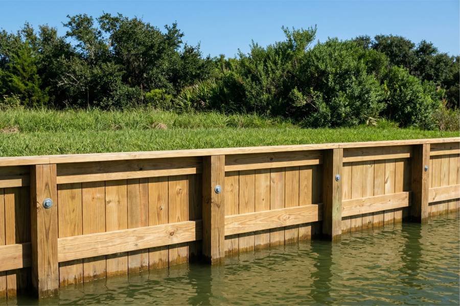
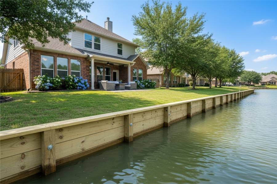
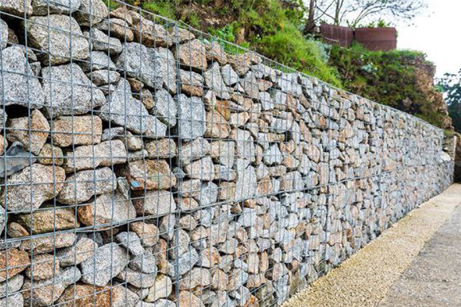
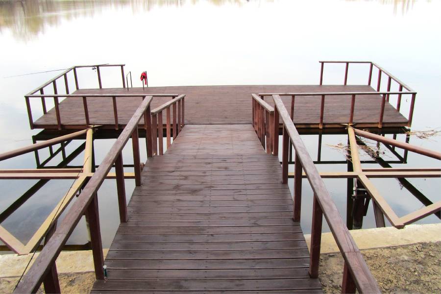
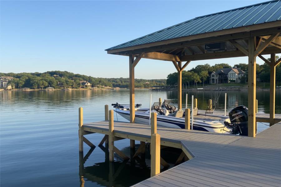
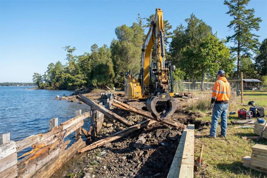
We take on Shoreline Construction in Trinity River, TX for river and bayfront owners: bulkheads, seawalls, retaining walls, piers, docks and boat slips, marine pilings, and structural repair.
Pin your property on a map, add a few photos of the riverbank, and send them over. Trinity River owners get a free preliminary estimate in return.