Highlands waterfront properties along the San Jacinto River below Lake Houston experienced severe flooding during Hurricane Harvey, when the river rose to historic levels and remained elevated for an extended period. River current and periodic major flooding from the upper San Jacinto watershed create ongoing bank erosion on unprotected shorelines throughout this Harris County community.

Compare materials and starting prices on our seawall construction and repair page.
Alluvial clay and sand deposits from San Jacinto River flooding create variable soil profiles along the Highlands waterfront. Sandy zones near the active channel erode quickly during flood flows, while clay upland soils hold moisture long after water recedes and create lateral pressure on seawall structures during the drying cycle. Site-specific soil assessment before wall installation is important in this variable floodplain environment.
Shore Protect Team LLC builds and repairs seawalls on the San Jacinto River and Lake Houston margins in Highlands.
Contact us for a free preliminary assessment of your Highlands seawall project. Photos of your shoreline and any existing damage allow us to evaluate flood exposure and recommend the right approach.

labor and materials
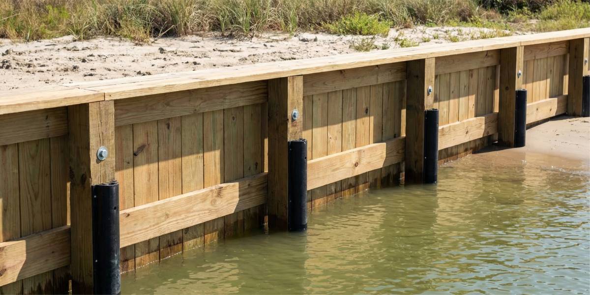
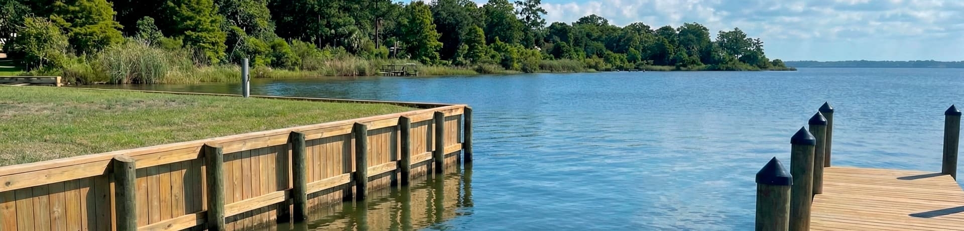
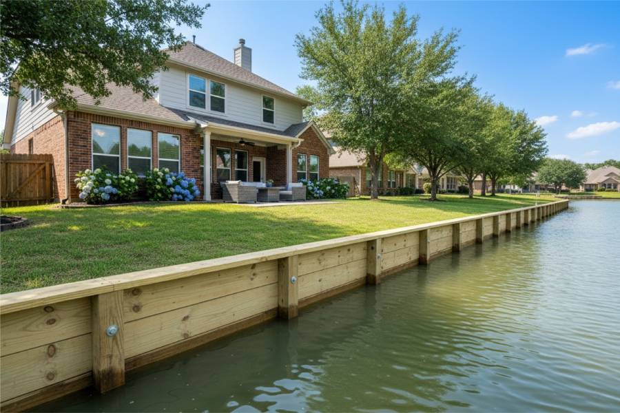
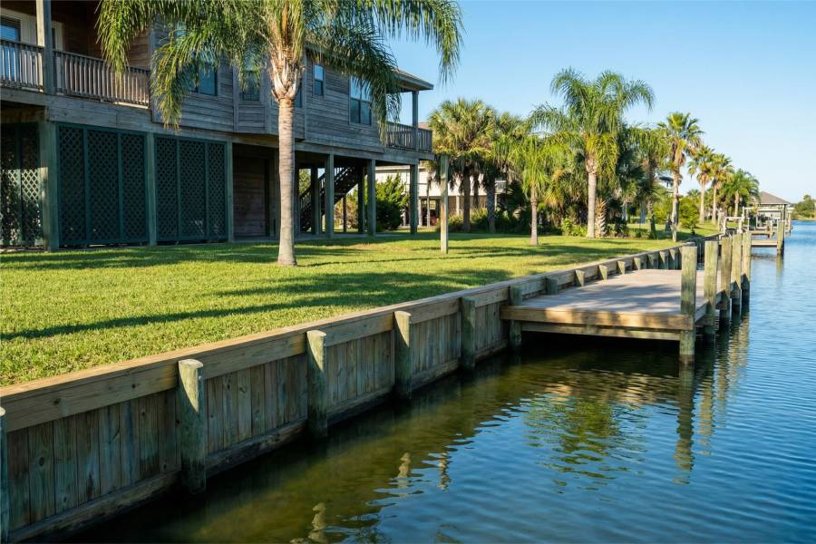
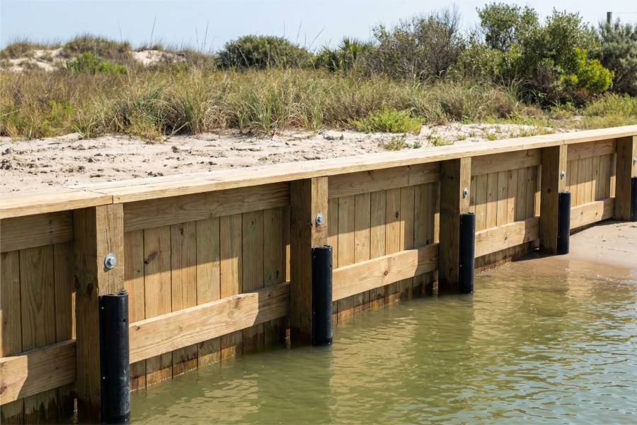
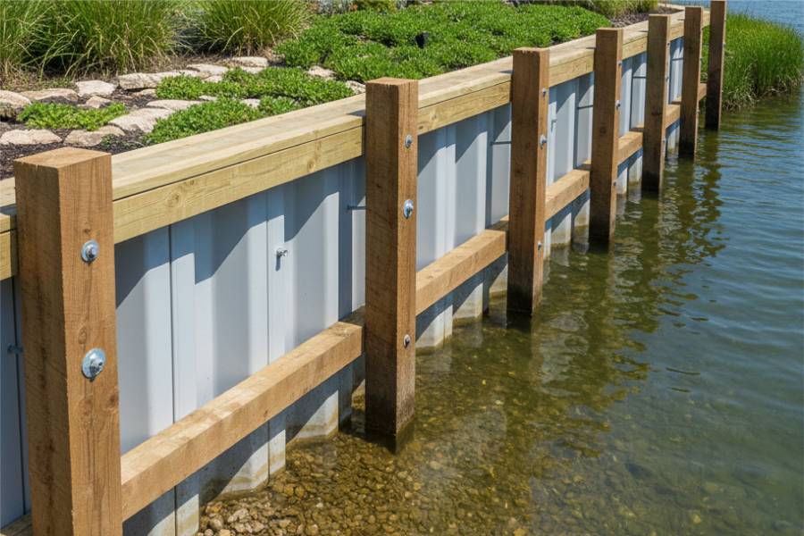
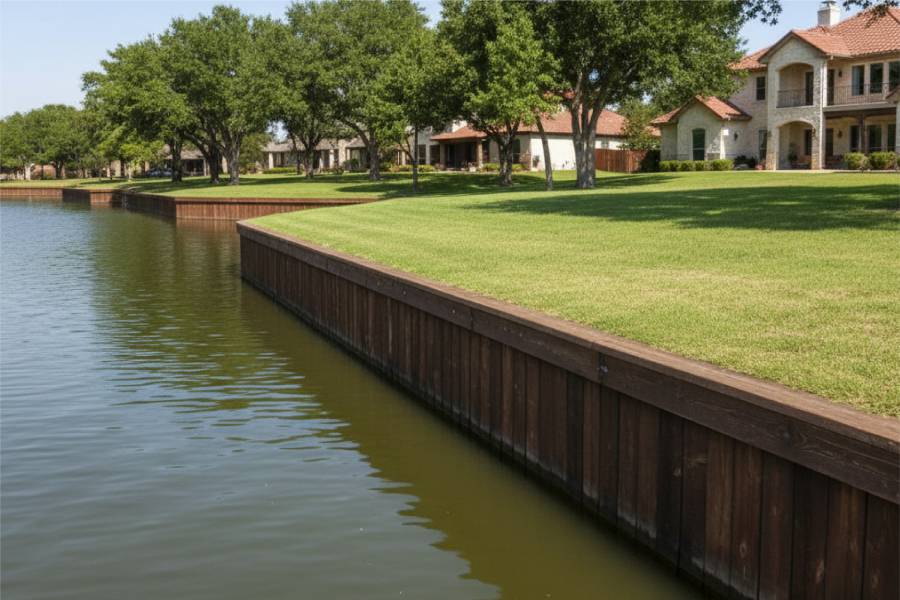
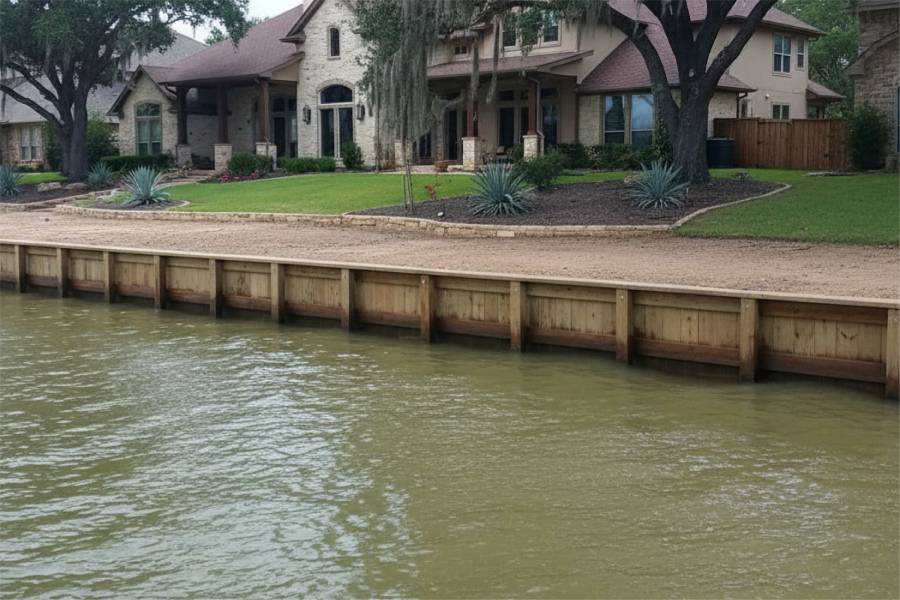
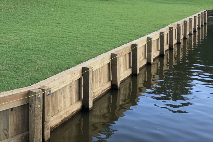
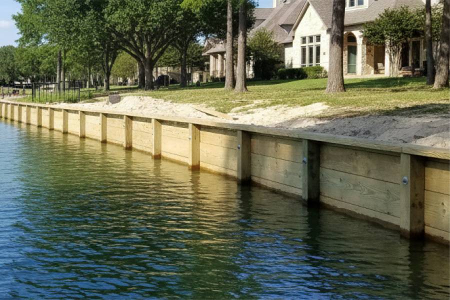
Timber walls for Highlands lots on side channels of the San Jacinto.

labor and materials
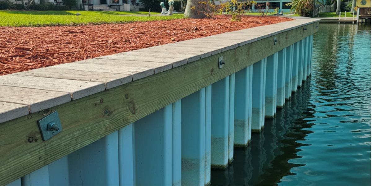
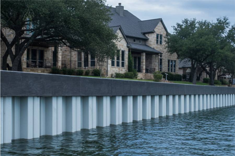
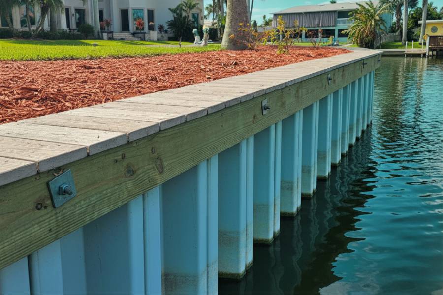
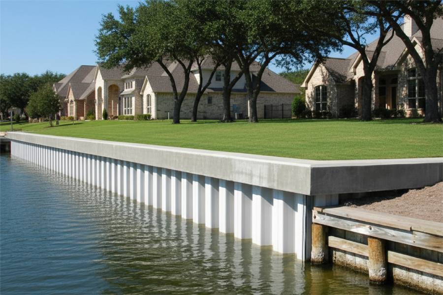
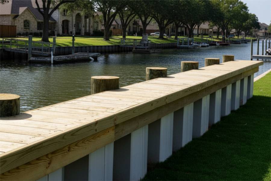
Vinyl seawalls for Highlands river homes, set deep against flood scour.

labor and materials
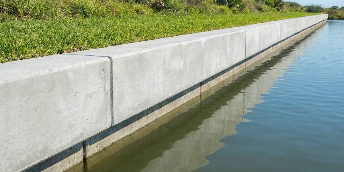
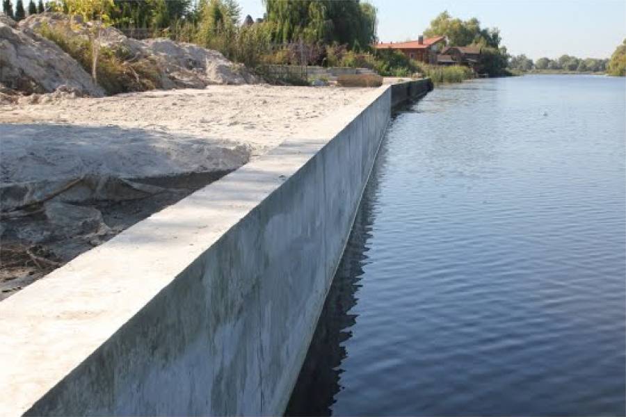
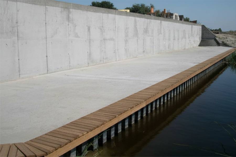
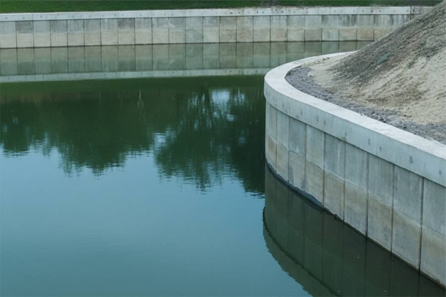
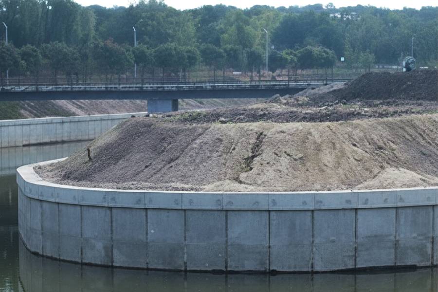
Concrete seawalls for Highlands lots that take dam release flows.

labor and materials
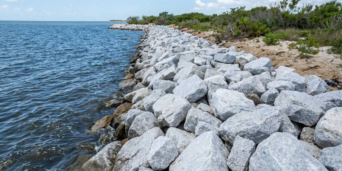
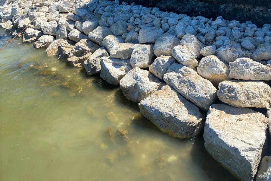
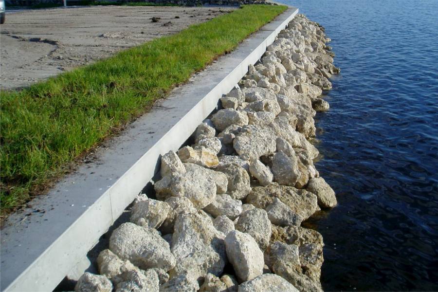
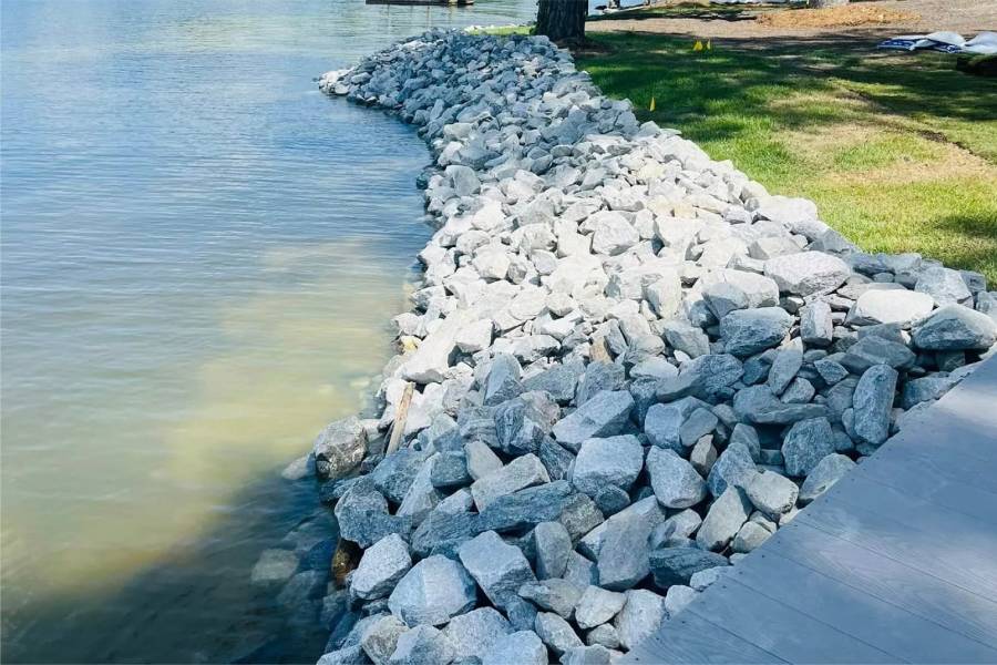
Rock at the toe of Highlands riverbank walls.

labor and materials
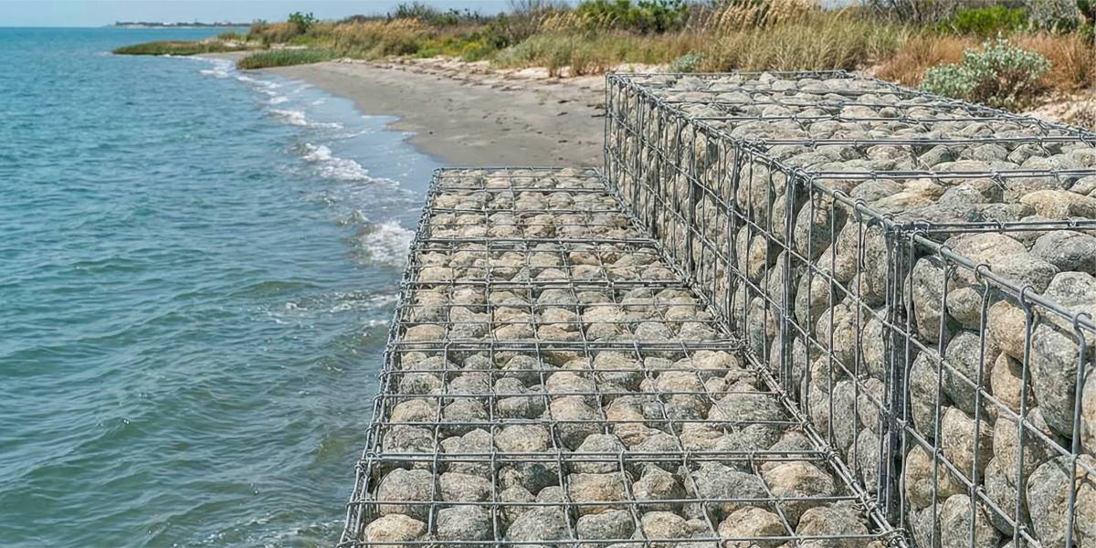
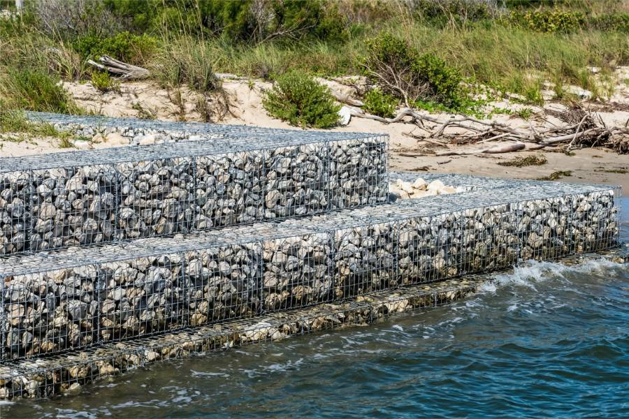
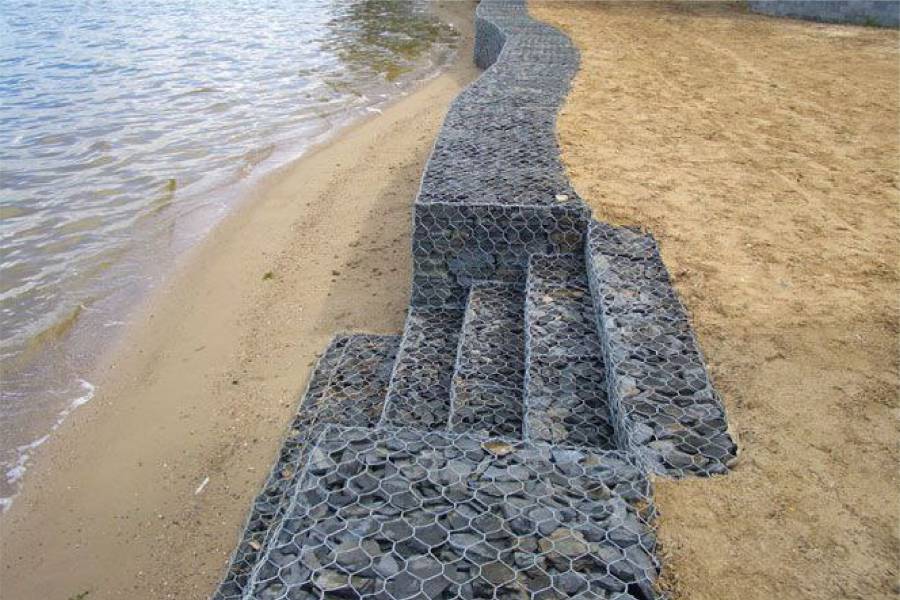
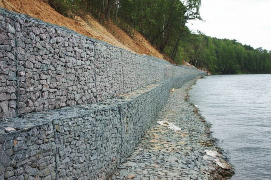
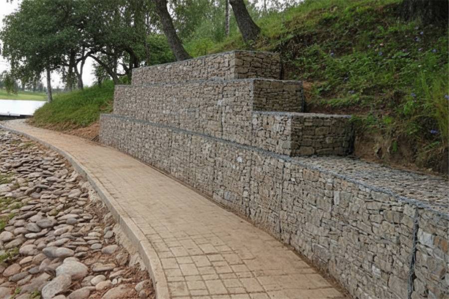
Gabion sections for Highlands river banks.

labor and materials
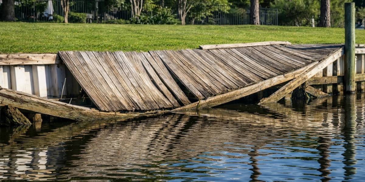
Repair of Highlands seawalls after floods like Harvey.


The river below Lake Houston rises quickly when the dam releases water after big storms. During Hurricane Harvey it reached historic levels and stayed high for an extended period.
Docks, bulkheads and boat lifts. The river leads down to the upper reaches of Galveston Bay.
River current during floods and debris carried from upstream.
Deep embedment below the scour line, rock at the toe and drainage for long high water.
Send us photos of your riverbank for a free preliminary assessment.