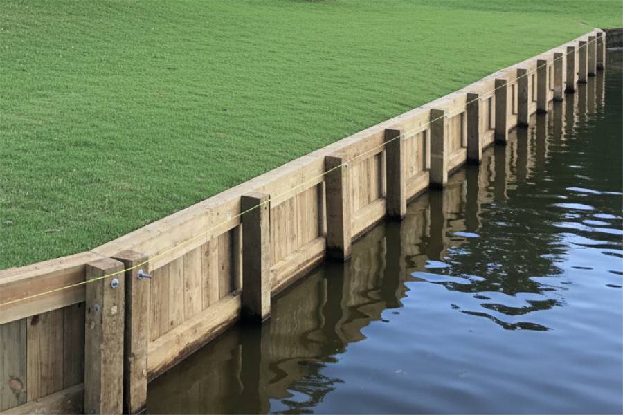
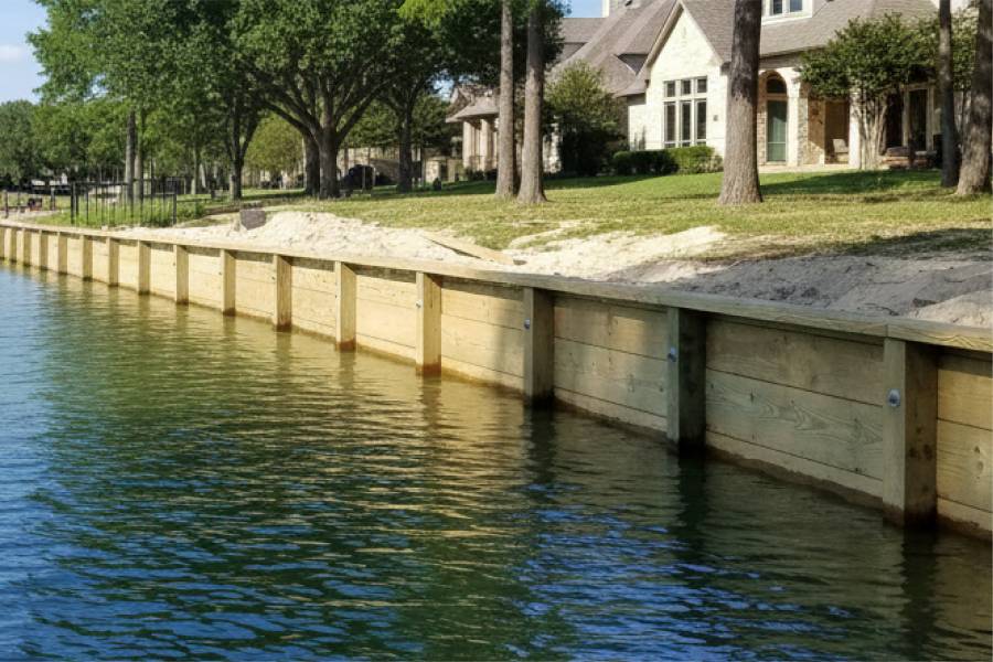
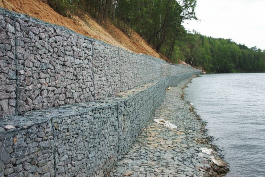
Crosby waterfront properties along the San Jacinto River and upper Lake Houston experienced severe flooding during Hurricane Harvey in 2017, when the San Jacinto River rose to historic levels and remained elevated for weeks. River current and periodic flooding from major rain events continue to erode unprotected banks, and many seawall structures in this area were damaged or destroyed during Harvey.
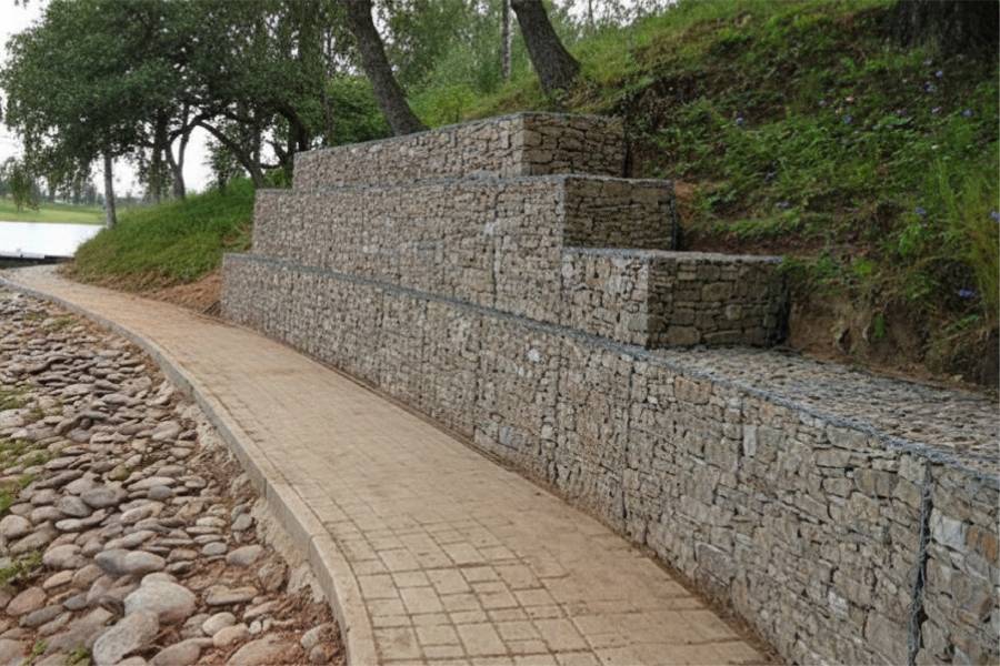

For the full list of materials and starting prices, see our seawalls page.
Alluvial sandy clay and silt characterize Crosby river and lake margins, with flood-deposited sands over clay creating variable soil profiles. Sandy soils near the channel erode quickly during flooding without wall protection, while clay zones hold moisture long after flood events and create lateral pressure on seawall bases as they dry and contract.
Shore Protect Team LLC builds and repairs seawalls along the San Jacinto River and Lake Houston's upper reaches in Harris County near Crosby.
Send us photos of your Crosby shoreline for a free preliminary assessment. We will evaluate flood exposure, current scour risk, and soil conditions to recommend the right seawall approach for your property.

labor and materials
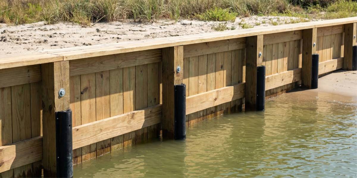
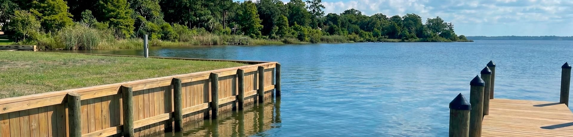
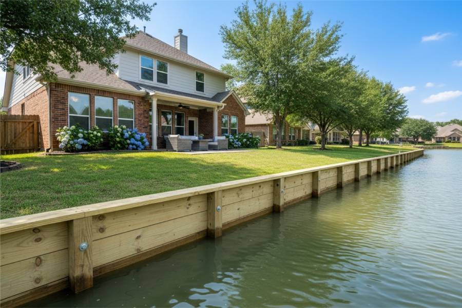
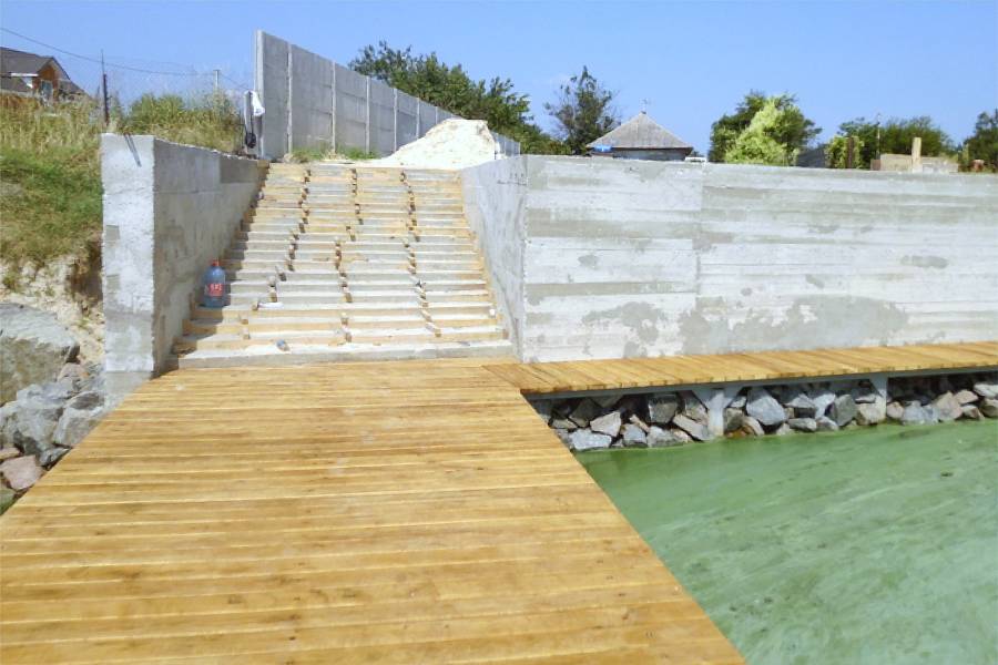
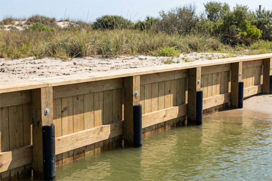
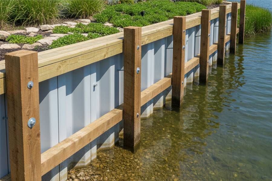
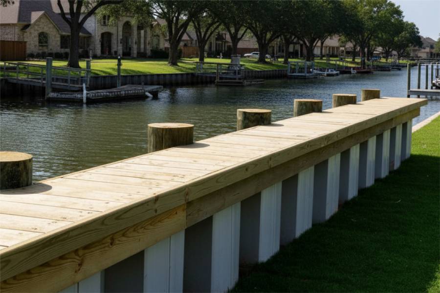
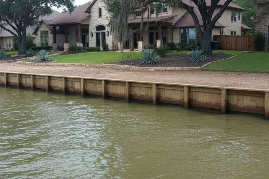
Timber walls for Crosby lots on quiet bayous that drain into the San Jacinto.

labor and materials
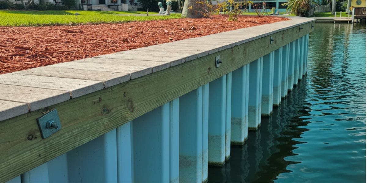
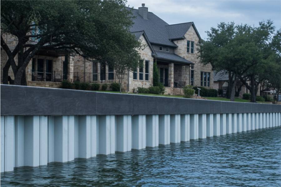
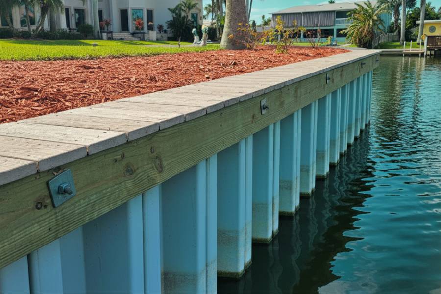
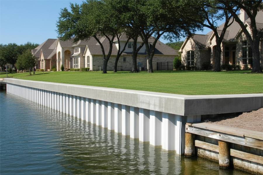
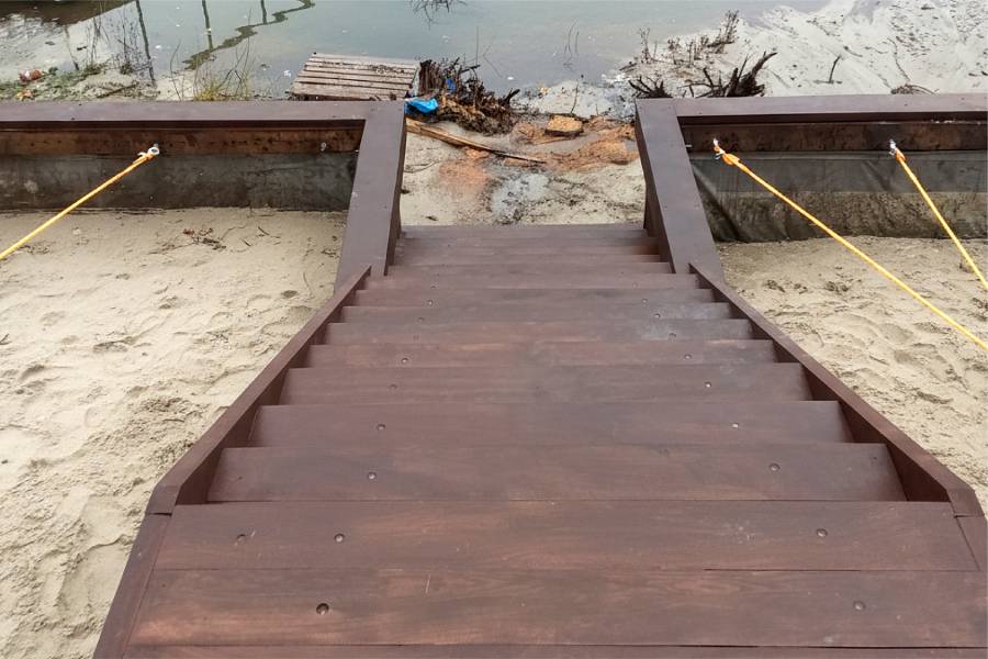
Vinyl seawalls for Crosby river camps on the San Jacinto, set deep against flood scour.

labor and materials
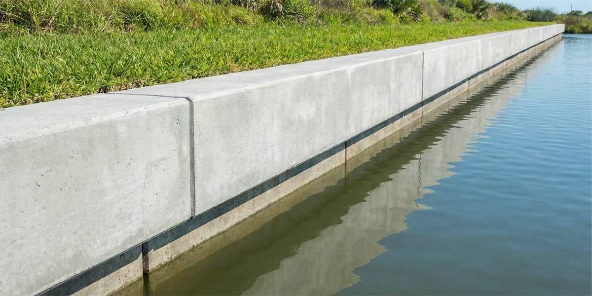
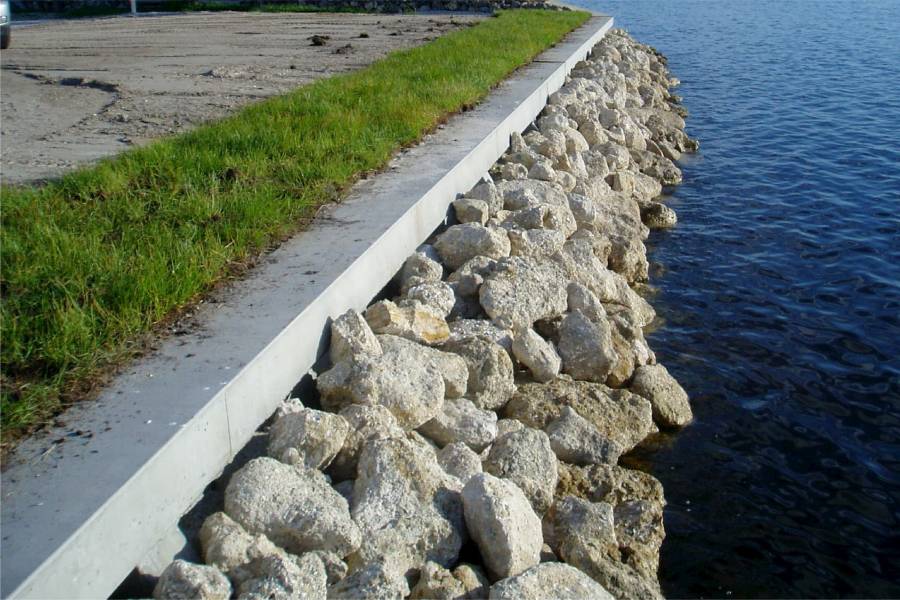
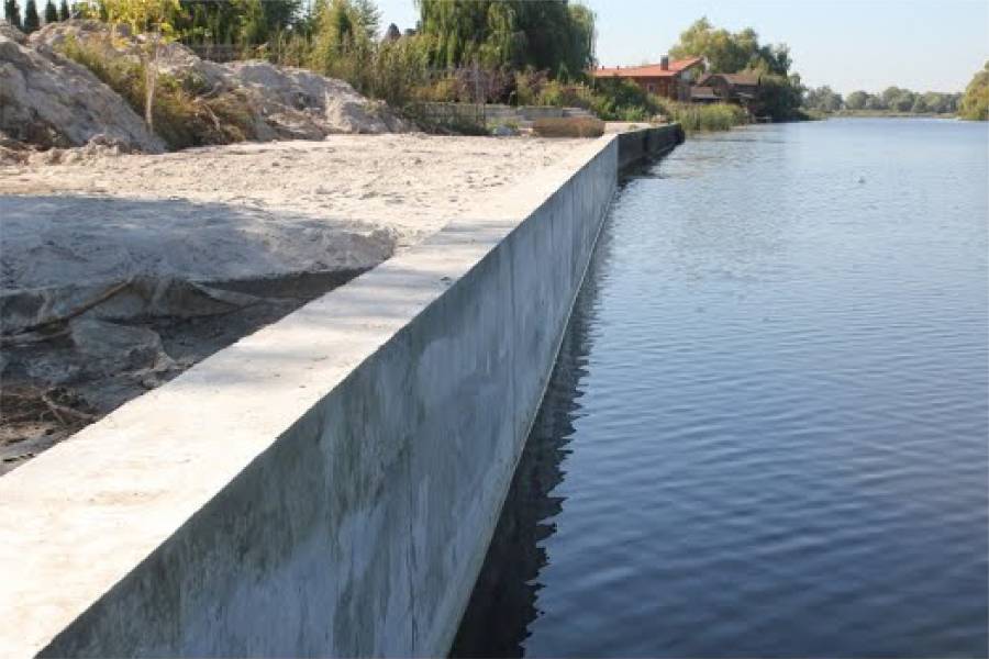
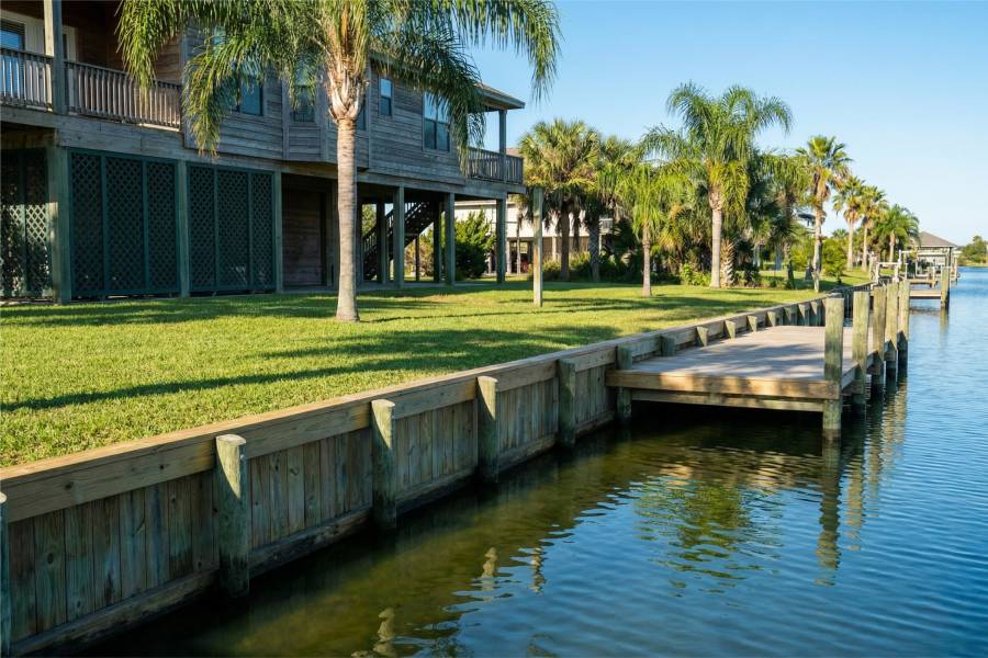
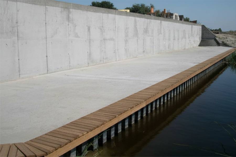
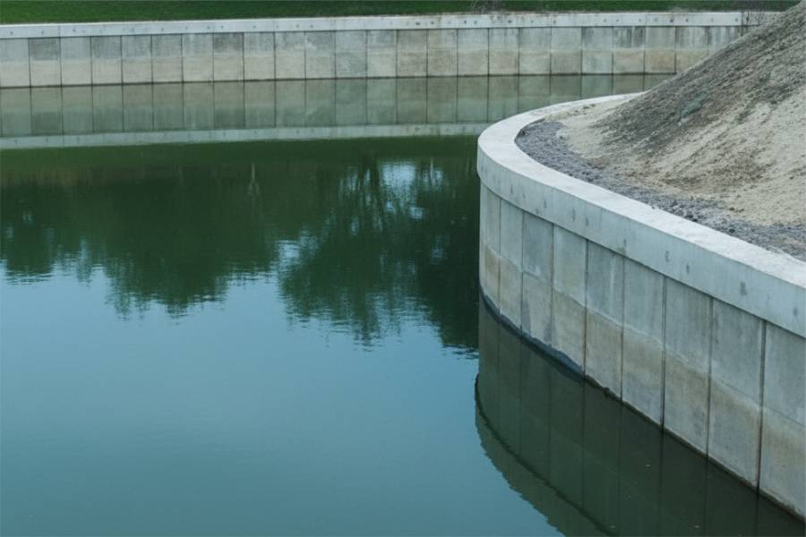
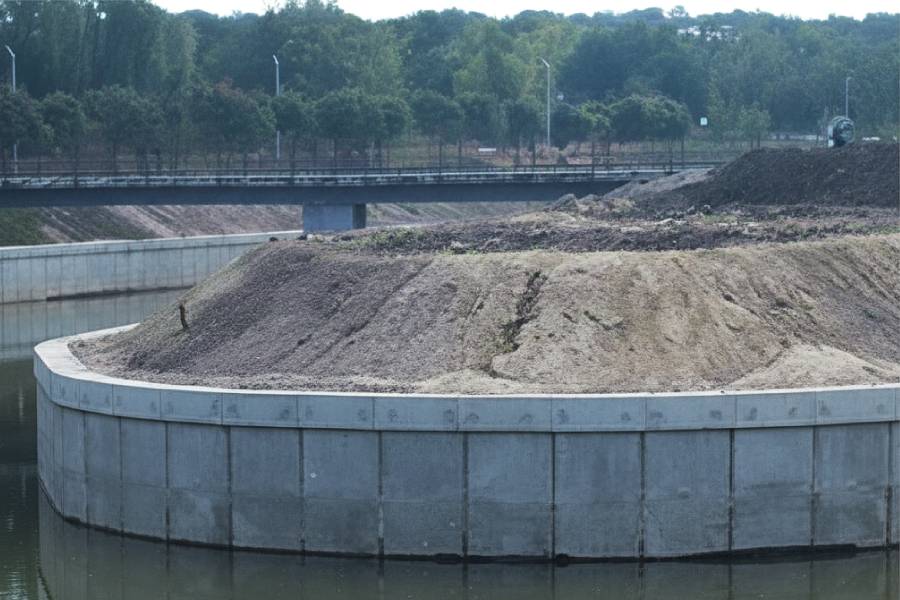
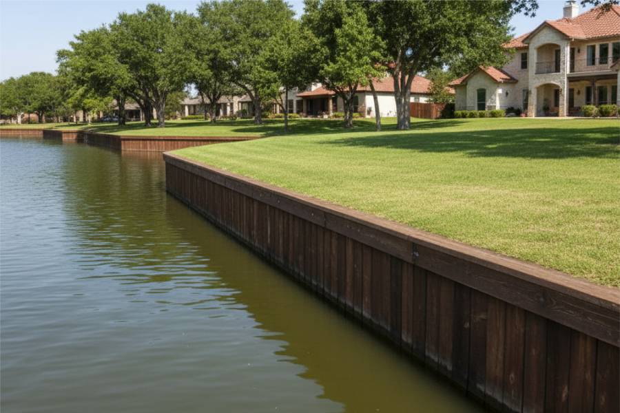
Concrete seawalls for Crosby lots near Lake Houston that take floods from two directions.

labor and materials
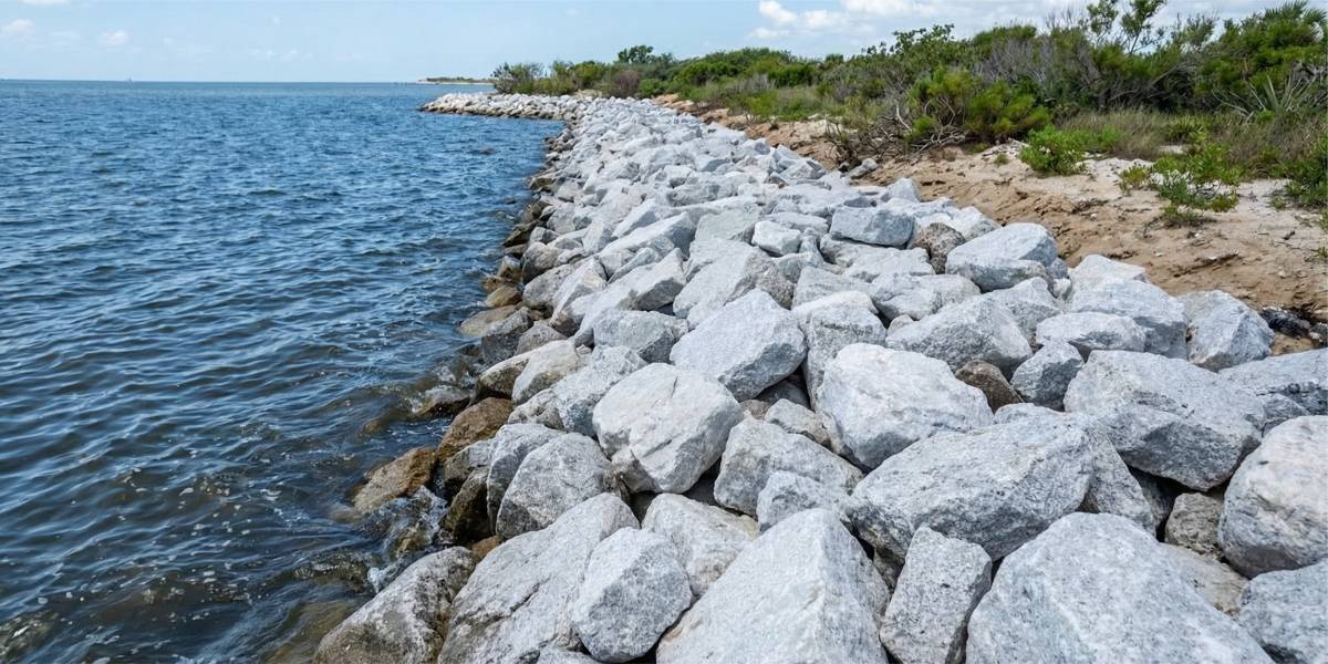
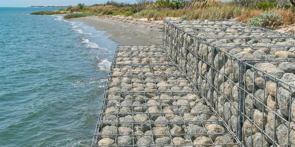
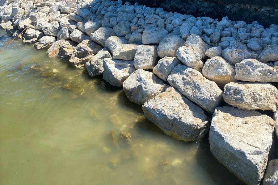
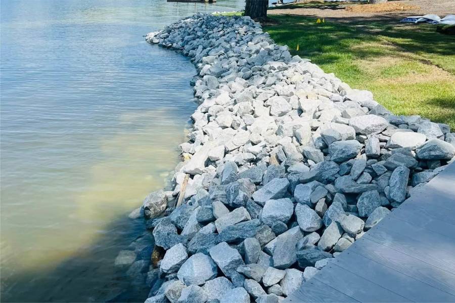
Rock at the toe of Crosby riverbank walls.

labor and materials
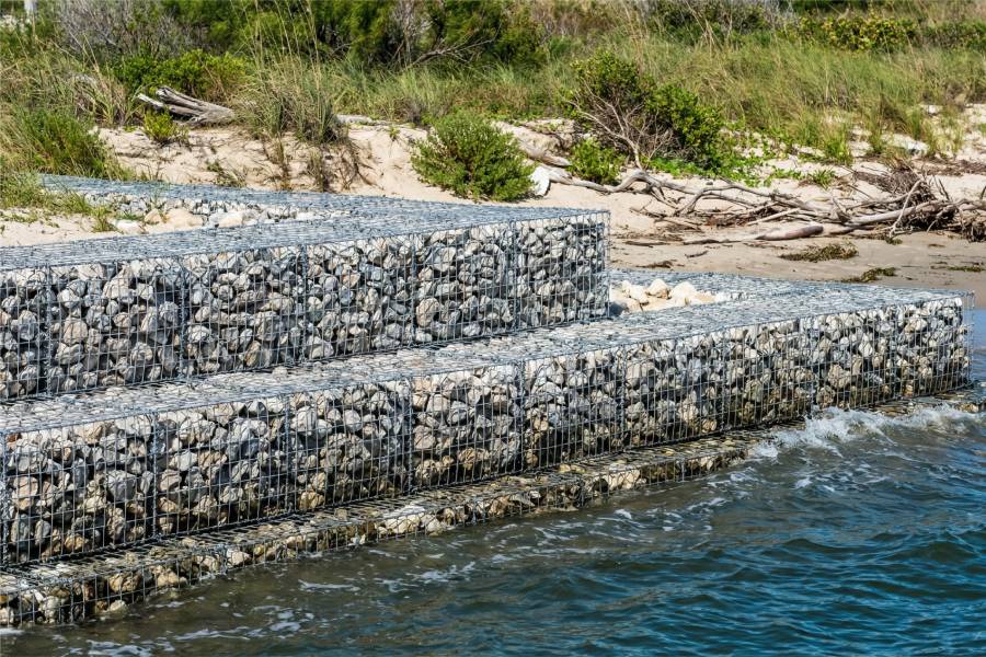
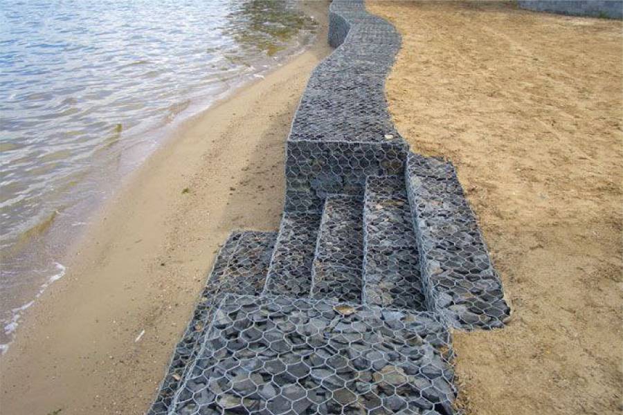
Gabion sections for soft Crosby banks.

labor and materials
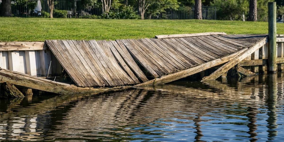
Repair of Crosby seawalls after Harvey-type floods.


During Hurricane Harvey in 2017, the San Jacinto rose to historic levels near Crosby and stayed high for a long time, flooding large parts of the area.
River current during floods, high water on Lake Houston and releases from the dam that send the San Jacinto rushing south.
It gives way, and the bank collapses into the river in sections.
Deep embedment, rock at the toe and drainage for long high water. Debris carried by floods also has to be considered for docks.
Send us photos of your riverbank for a free preliminary assessment.