West and East Columbia straddle the lower Brazos River in Brazoria County as it approaches the Gulf — one of the most flood-prone reaches of any major Texas river. The lower Brazos carries the full Texas watershed flow, and tidal influence from the Gulf extends upstream into this area under certain conditions. Harvey demonstrated the extreme flooding potential of the lower Brazos, inundating communities here for extended periods in 2017.
Compare materials and starting prices on our piers page.
Dense alluvial clay and silty deposits from repeated Brazos flooding define the Columbia area soils. High clay content with poor drainage means riverside properties remain saturated long after flooding recedes. Sediment-laden Brazos floodwater actively scours the riverbed and piling bases during peak discharge, requiring piling embedment that accounts for post-flood scour rather than pre-flood conditions.
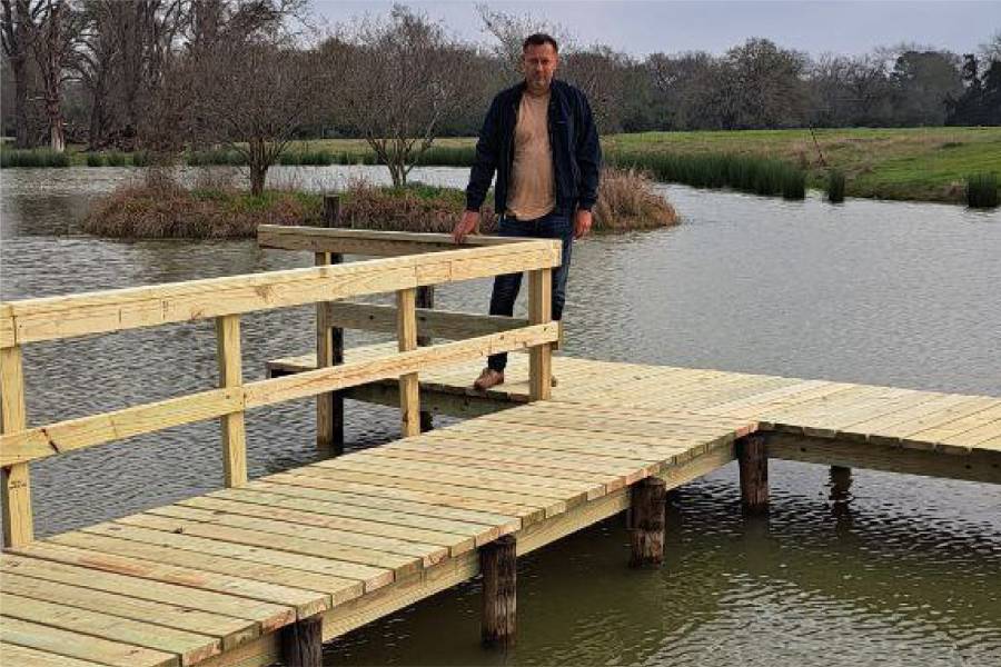
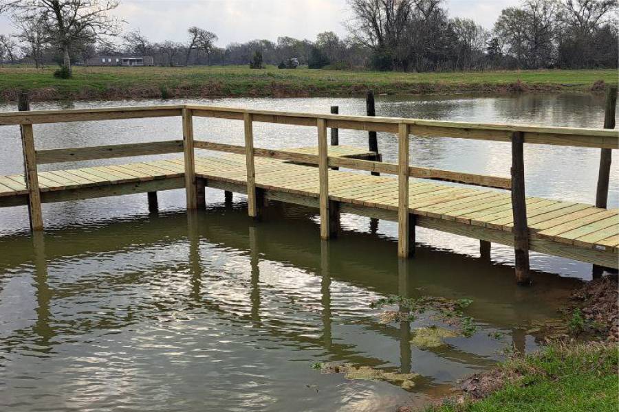
Shore Protect Team LLC builds and repairs piers on the lower Brazos River in West and East Columbia in Brazoria County. We design piers for the extreme flood current and long-duration inundation conditions that define this demanding lower river reach.
Send us photos of your Columbia area pier for a free assessment. Lower Brazos flooding exposure, tidal influence, and dense alluvial clay are the factors we evaluate before recommending pier piling depth and design.

labor and materials
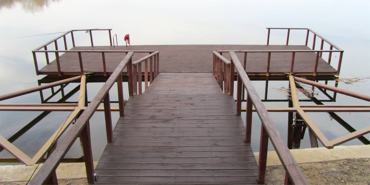
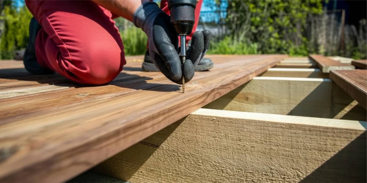
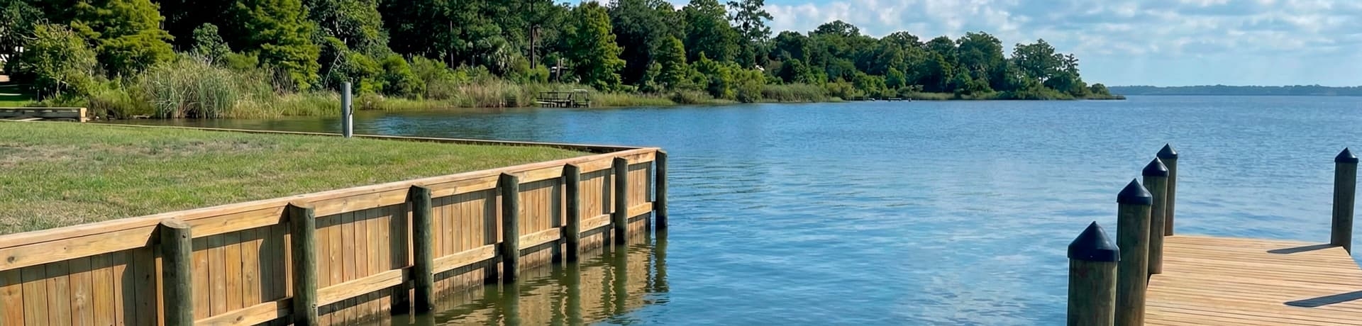
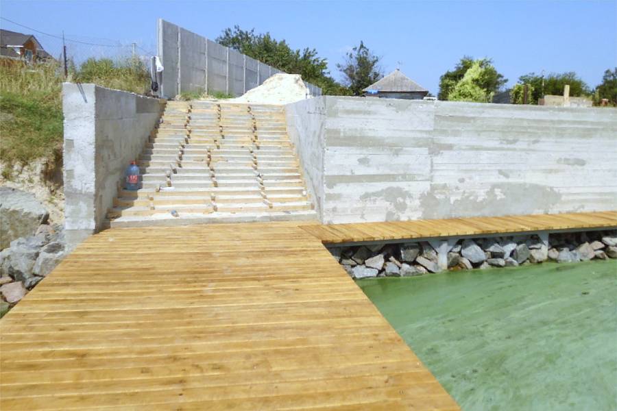
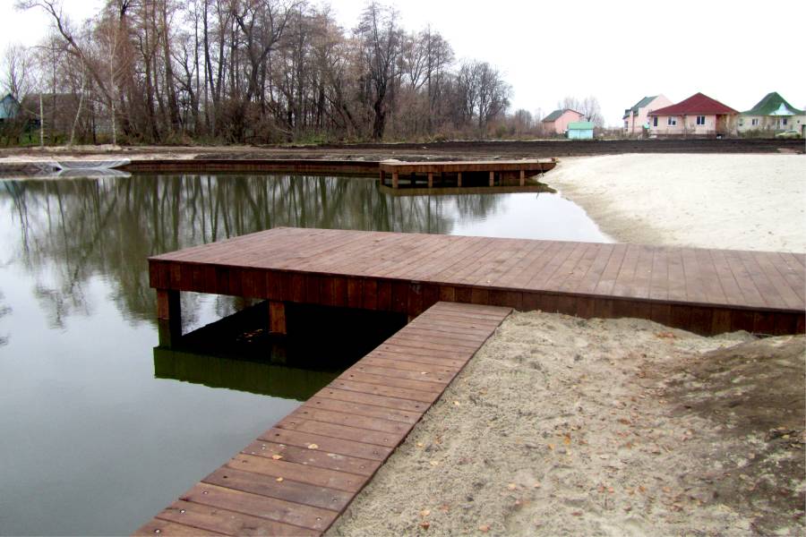
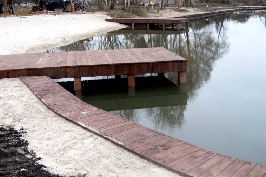
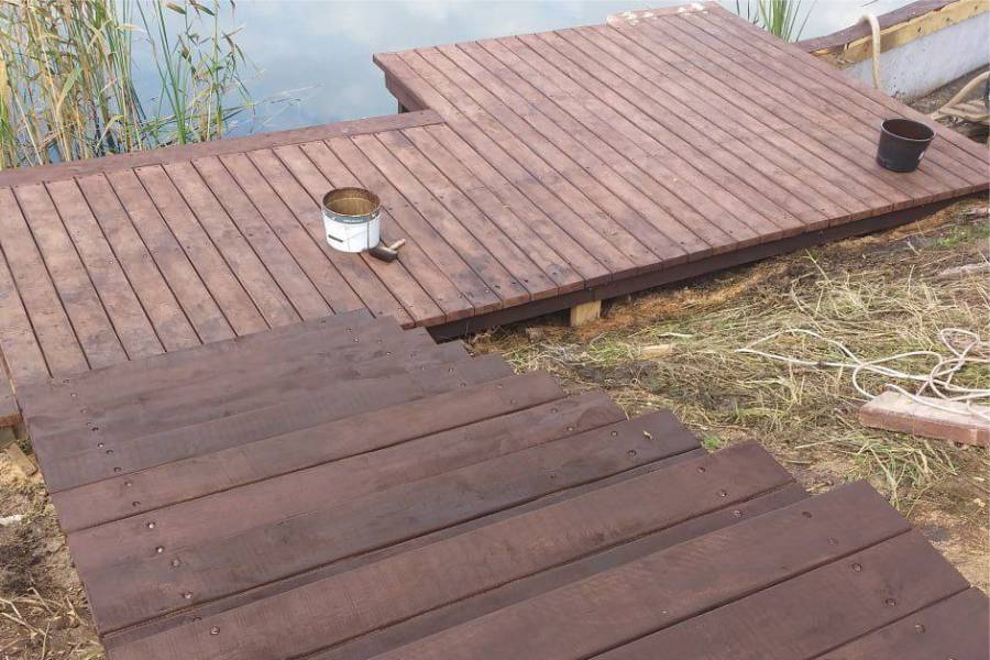
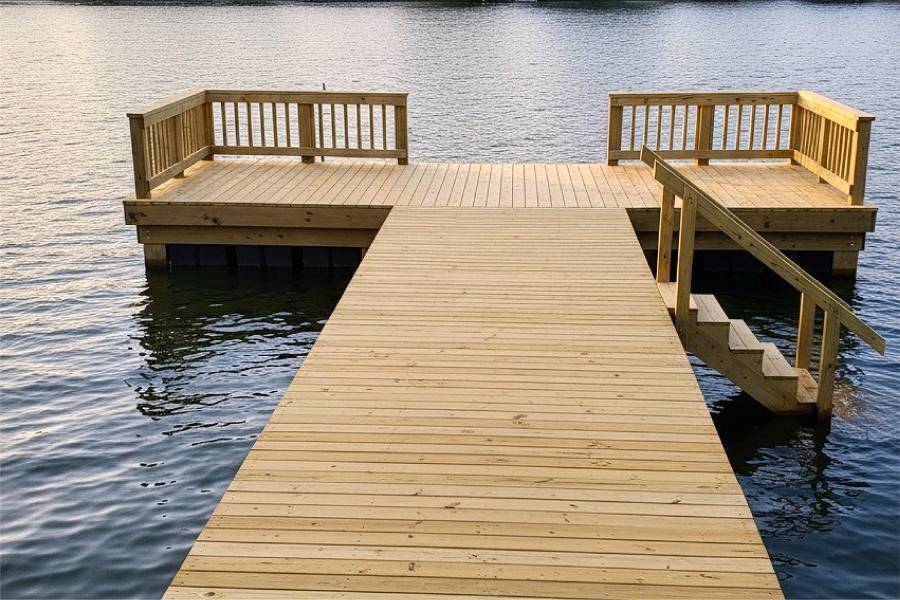
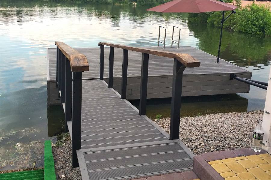
Pier construction in West and East Columbia on the lower Brazos River using composite and pressure-treated materials rated for the most extreme Brazos flooding conditions, designed for the Brazoria County waterfront where long-duration inundation, tidal influence from the Gulf, and heavy alluvial clay define the most demanding river pier environment in Southeast Texas.

labor and materials
Pier repair in West and East Columbia: replace Harvey-scale lower Brazos flood-damaged pilings and decking, reinforce piling bases scoured by extreme flood current on active channel-facing structures, and restore connections weakened by long-duration inundation and post-flood dense alluvial clay contraction in this lower Brazos floodplain community.


On opposite banks of the lower Brazos in Brazoria County.
It carries full watershed flow and floods heavily.
Tidal influence extends up the lower Brazos.
Homes, ranches and camps.
Send photos of the shore for a free preliminary assessment.