Victoria sits on the lower Guadalupe River as it flows toward San Antonio Bay — a stretch that floods hard; the October 1998 flood is the record at Victoria, and the river's proximity to the Gulf means major storms from the south can drive extreme rises rapidly. Below Victoria, tides from San Antonio Bay can reach the lower Guadalupe under certain wind conditions.
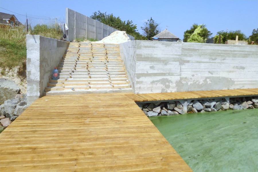
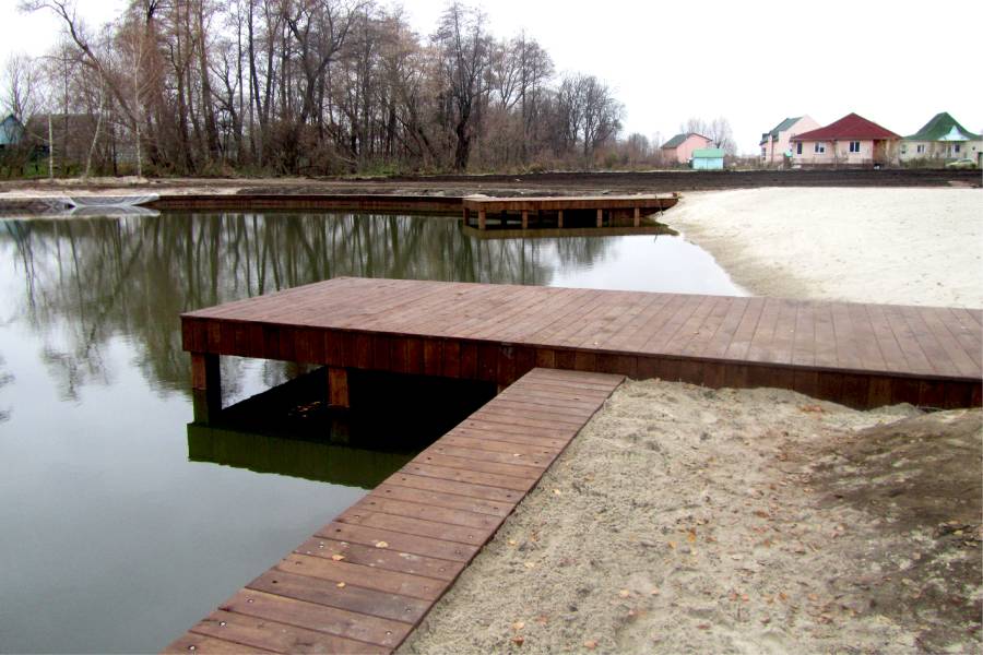
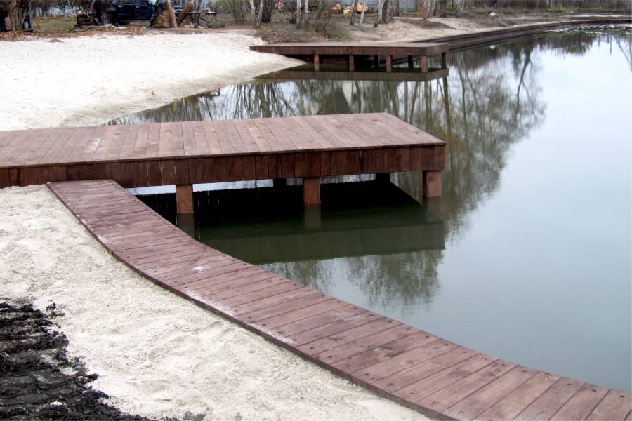
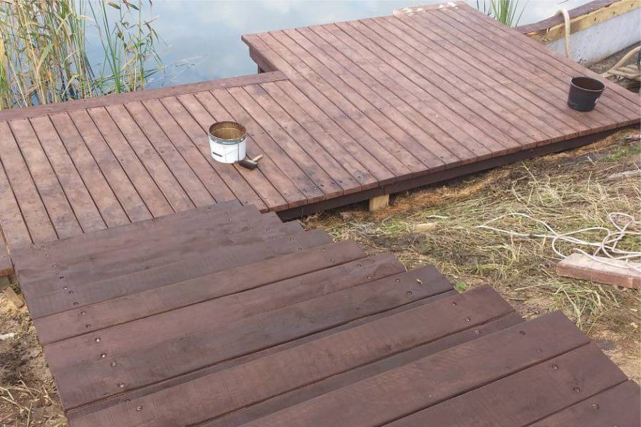
Our pier construction and repair page covers materials, prices and completed projects.
Dense clay and silty alluvial deposits characterize Victoria's Guadalupe River margins. These soils hold moisture long after flooding, creating prolonged conditions that stress pier foundations well beyond the actual flood duration. Rapid-rise flooding on the lower Guadalupe creates current forces that actively scour the riverbed and piling bases during peak discharge, requiring pier piling embedment that accounts for post-flood scoured profiles.
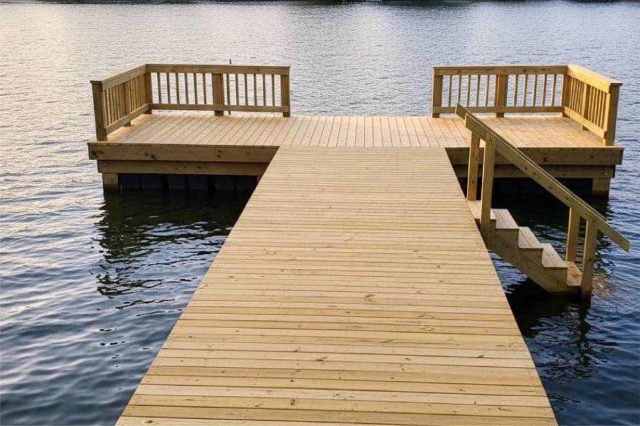
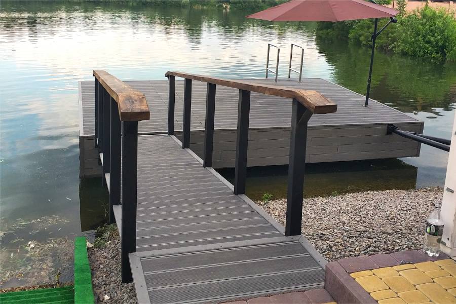
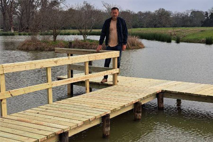
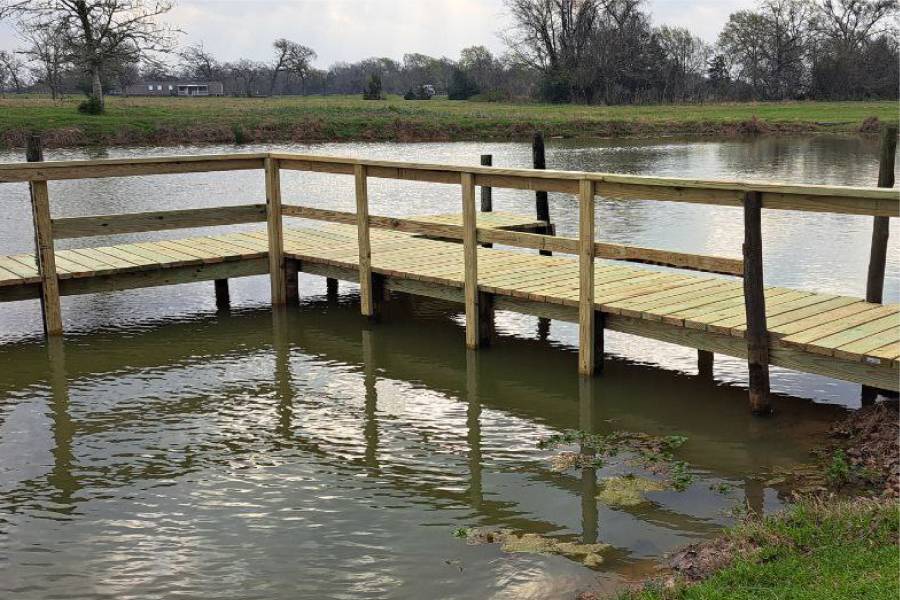
Shore Protect Team LLC builds and repairs piers on the lower Guadalupe River in Victoria County. We design river piers for the rapid-rise flooding potential that major Gulf systems create on the Guadalupe, incorporating scour-resistant piling embedment for high-velocity flood flows.
Send us photos of your Victoria pier for a free preliminary assessment. Guadalupe River flood risk, tidal influence, and alluvial clay conditions are the factors we evaluate before recommending pier piling depth and design.