Humble waterfront properties on Lake Houston's western shore and West Fork San Jacinto River experienced significant flooding during Hurricane Harvey, when the West Fork contributed major flow to Lake Houston and both water bodies rose well above normal levels. This part of the watershed saw some of the most prolonged flooding of any Houston-area community during Harvey.
Compare materials and starting prices on our pier services page.
Sandy clay and alluvial deposits characterize Humble's West Fork margins. Post-Harvey slope failures along lake and creek margins revealed soil stability issues relevant to pier piling design — adequate embedment depth through unstable near-surface deposits is essential for pier longevity in these post-flood alluvial soils. Composite decking on adequately embedded pilings has performed well on Lake Houston's western shore where proper installation was completed.
Shore Protect Team LLC builds and repairs piers on Lake Houston's western shore and West Fork San Jacinto River frontage in Humble.
Send us photos of your Humble pier for a free assessment. We will evaluate flood exposure and post-Harvey soil conditions before recommending piling depth and materials.

labor and materials
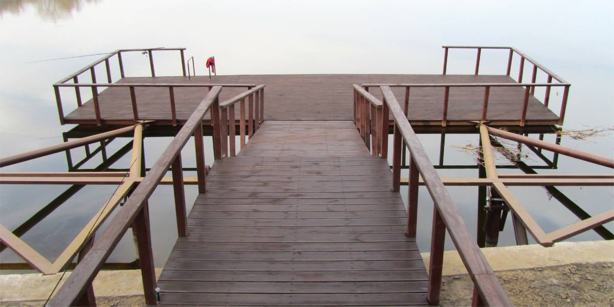
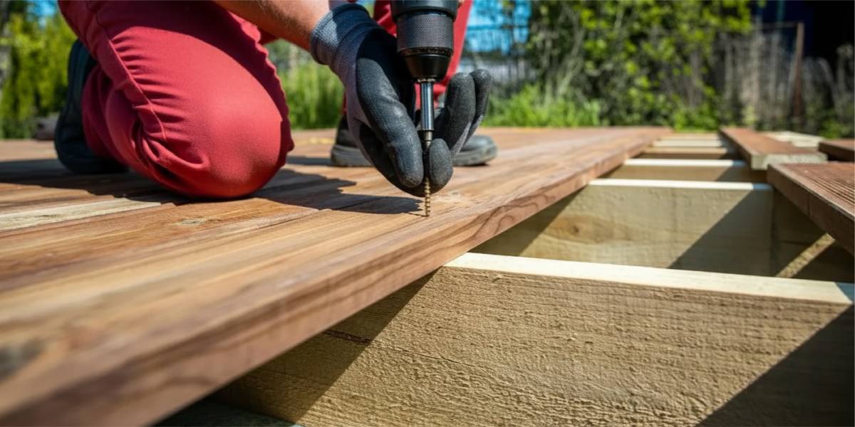
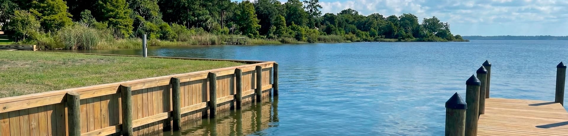
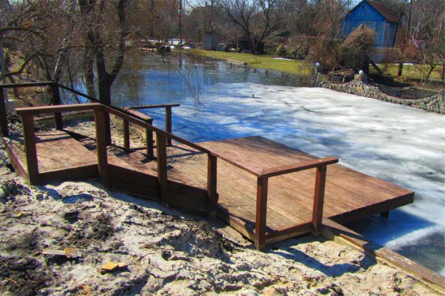
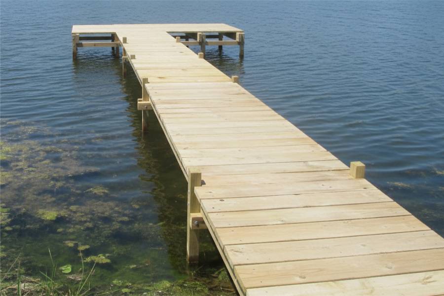
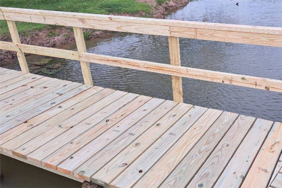
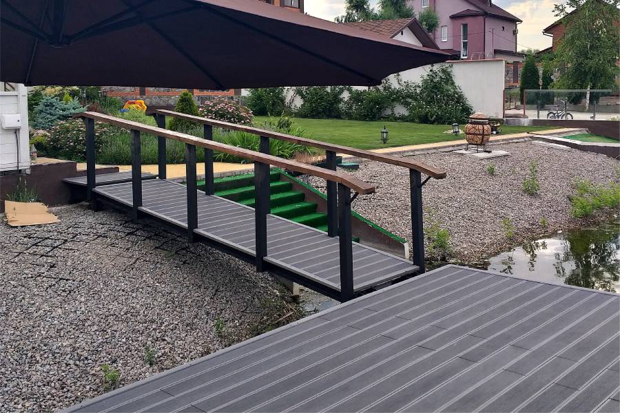
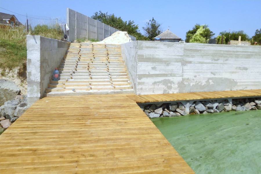
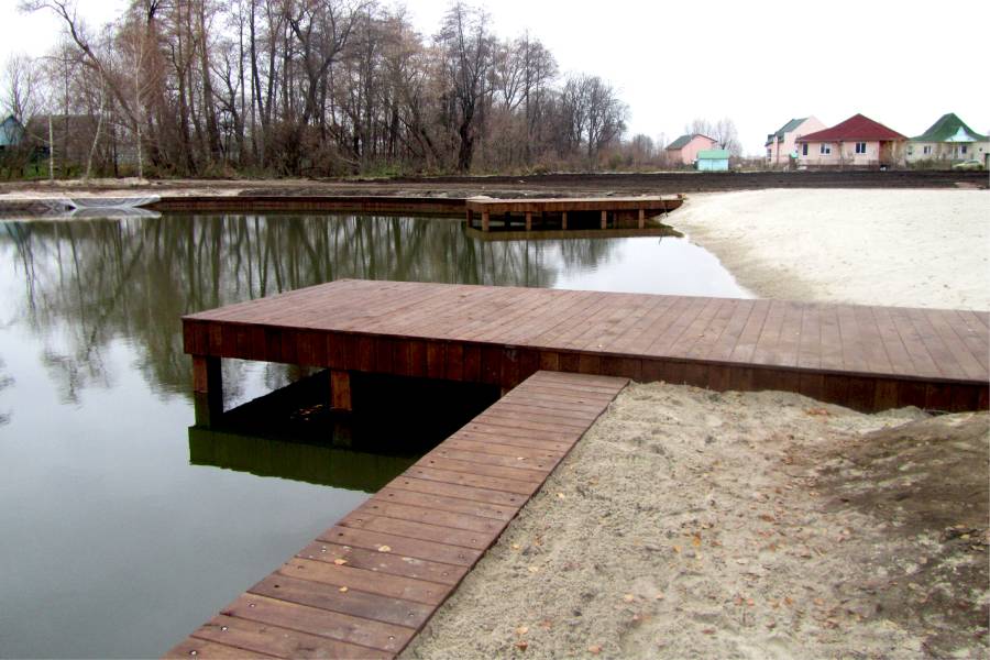
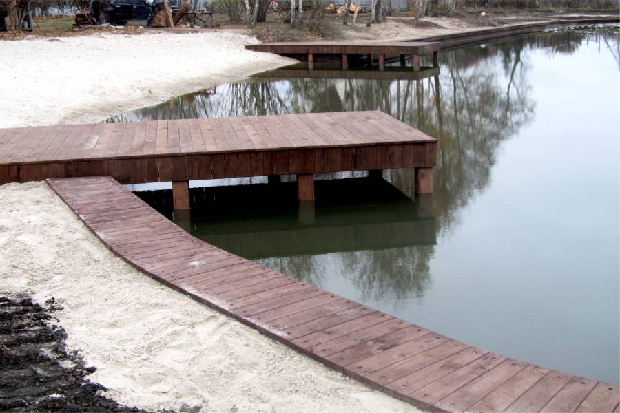
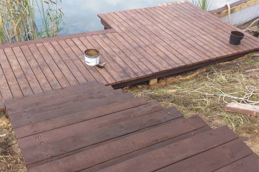
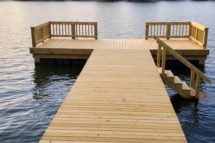
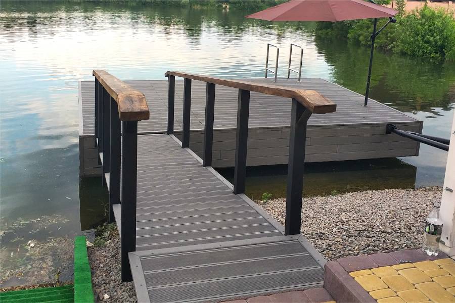
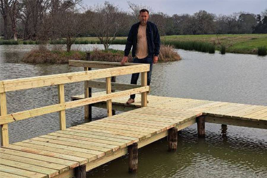
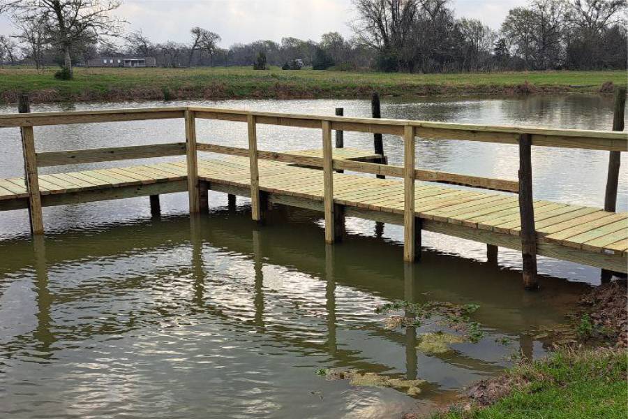
Pier construction in Humble on Lake Houston's western shore and West Fork San Jacinto River using composite and pressure-treated materials, designed for the Harvey-affected watershed where post-flood alluvial soil variability and lake wave exposure define piling requirements on this east Houston waterfront.

labor and materials
Pier repair in Humble: replace Harvey flood-damaged pilings and decking on Lake Houston's western shore, reinforce connections weakened by extended West Fork inundation, and restore structures displaced by post-flood alluvial soil consolidation on this Harvey-impacted Lake Houston community.


On the west side of Lake Houston, where the West Fork of the San Jacinto enters, near Atascocita and Kingwood.
The West Fork and Lake Houston both rose well above normal in 2017.
Lake waves and river current in storms.
Sandy clay and alluvial deposits.
A few photos of the shore get you a free preliminary assessment.