Cliff-Flanked Coves of the Brazos River at Possum Kingdom Lake
About 75 miles west of Fort Worth, Morris Sheppard Dam stands 190 feet high across the Brazos River, holding back Possum Kingdom Lake in Palo Pinto and Young counties. Finished in 1941, it was the first water supply reservoir in the Brazos basin. The Brazos River Authority describes more than 200 miles of cliff-flanked shoreline, including Hell's Gate, a narrow gap between two cliffs that opens into a cove.
TPWD describes most of the shore as large and cobble-size rock, with cliffs and bluffs at the lower end and shallower, vegetated banks toward the upper end. Water is clear and averages 37 feet deep. Level changes are rated moderately high, and the dam has an outlet designed to keep releasing water if drought drops the lake more than 13 feet. Nine gates on the dam each pass about 9,600 cubic feet per second in a flood. Rock banks resist waves, but soil on the upper banks and backfill behind walls still wash out.
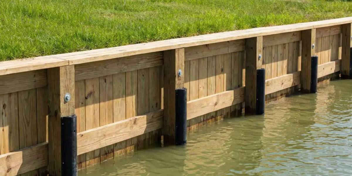
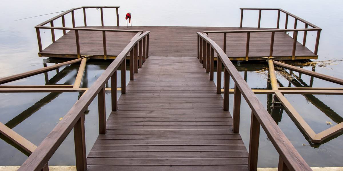
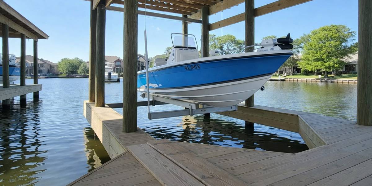
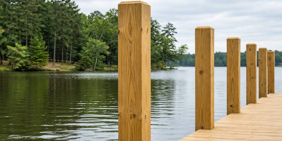
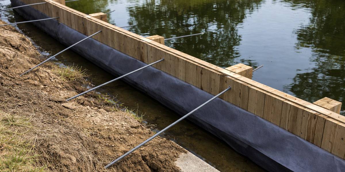
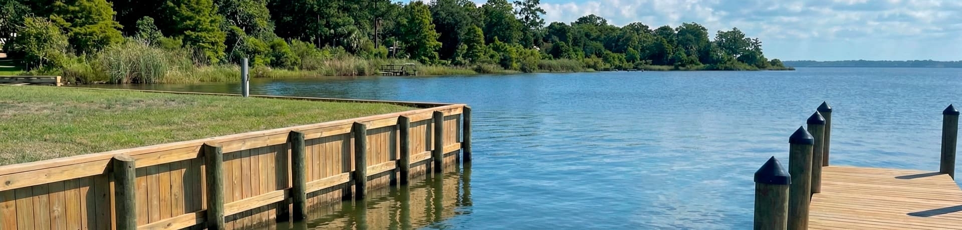
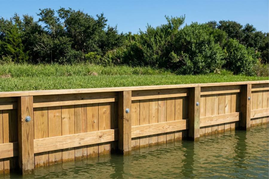
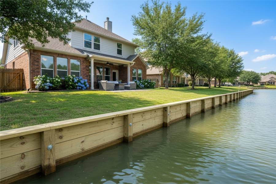
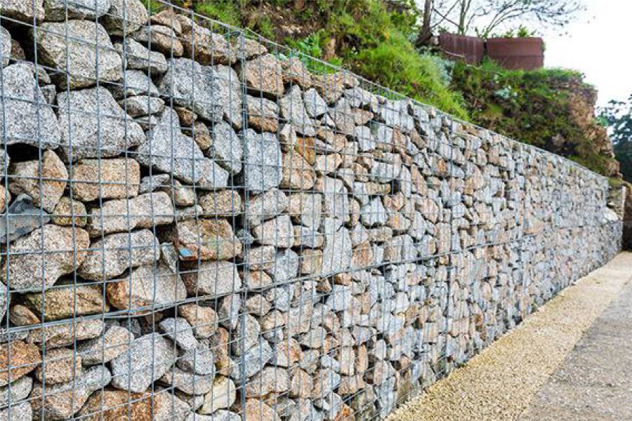
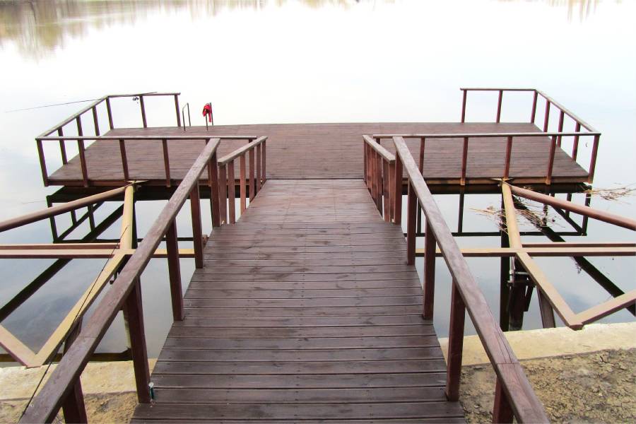
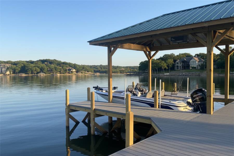
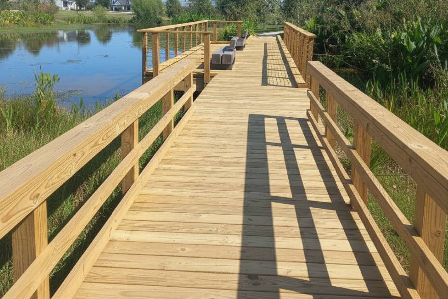
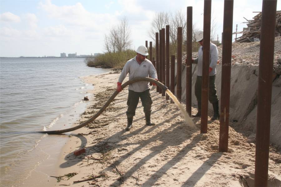
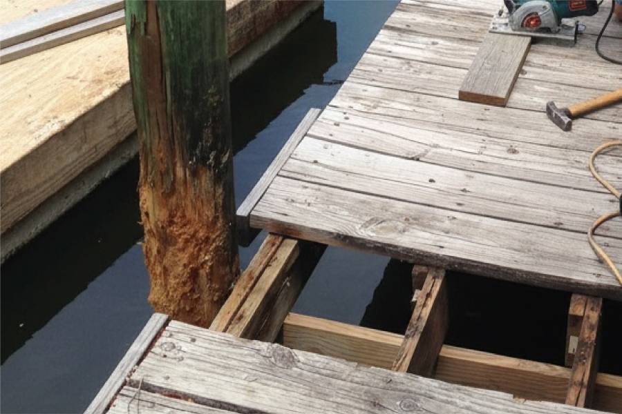
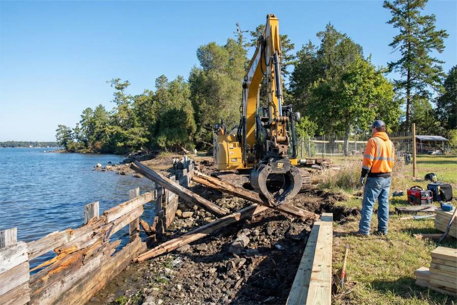
On rock-heavy lots, Coastal Erosion Control in Possum Kingdom Lake, TX takes careful anchoring. We build bulkheads, seawalls and terraced retaining walls, set pilings, and add piers, docks and boat slips. Loosened structures get repaired.
To start, send your Possum Kingdom Lake address and photos of the shoreline and slope. A free preliminary estimate is the reply.