Bare Banks and Big Swings Along 200 Miles of Lake Tawakoni Shoreline
Lake Tawakoni gathers the South Fork and Cowleech Fork of the Sabine River together with Caddo Creek in Hunt, Rains and Van Zandt counties, about 15 miles southeast of Greenville. Iron Bridge Dam, a rolled-earth embankment roughly 5.5 miles long with an ungated concrete spillway, has held the water since 1960. The lake spreads over about 37,000 acres and some 200 miles of shoreline. The Sabine River Authority owns and operates it.
TPWD rates the water level fluctuation as considerable, 3 to 9 feet. Aquatic plants are sparse and thin out further after drawdowns, so most banks have little vegetation to soften waves when the water comes back up. Flooded timber is scattered rather than abundant. On a lake this broad, wind waves reach the shore with little to slow them, and a bank that sits bare through a low-water spell is easy to cut once the level returns.
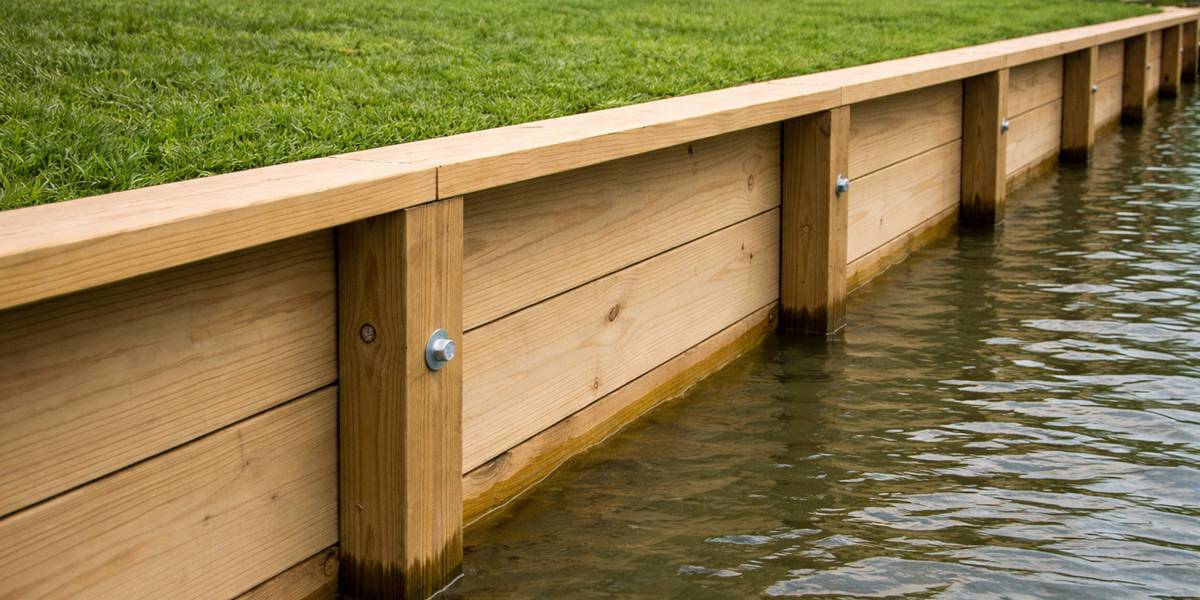
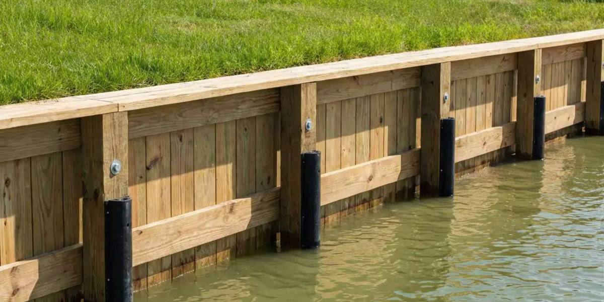
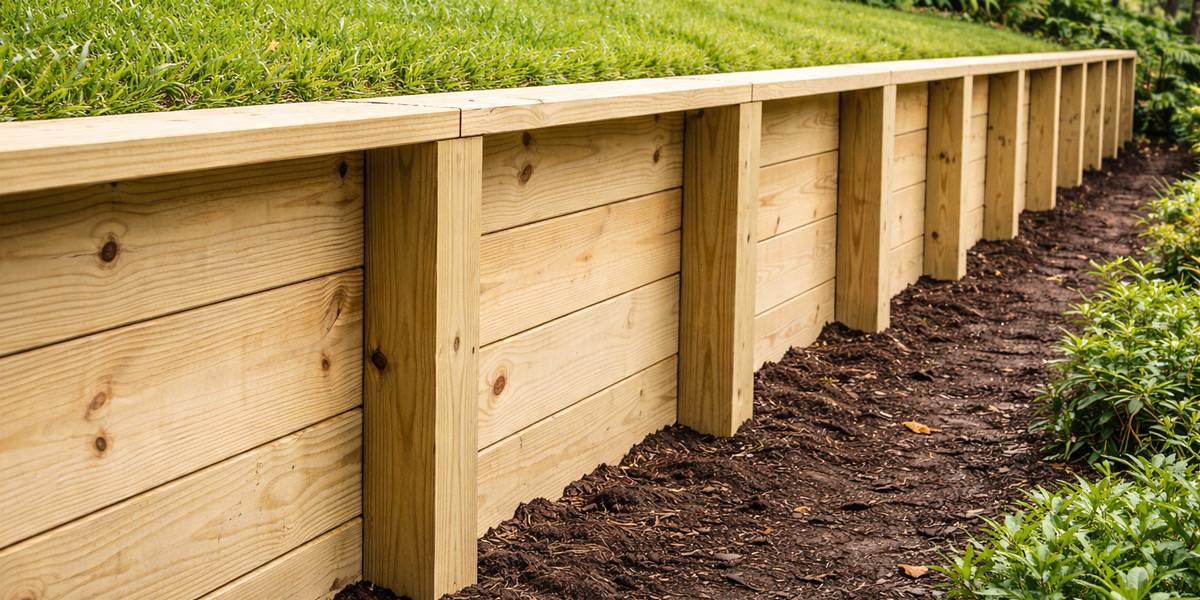
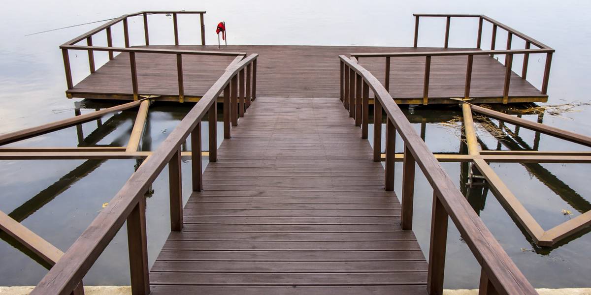
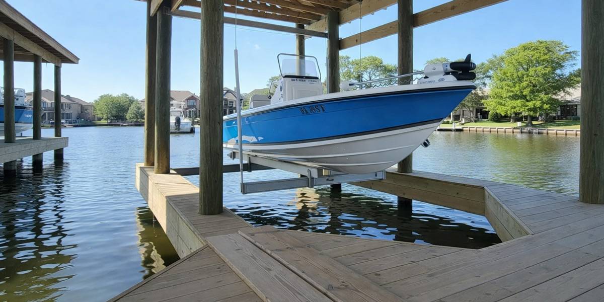
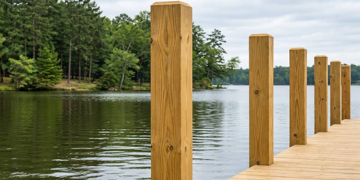
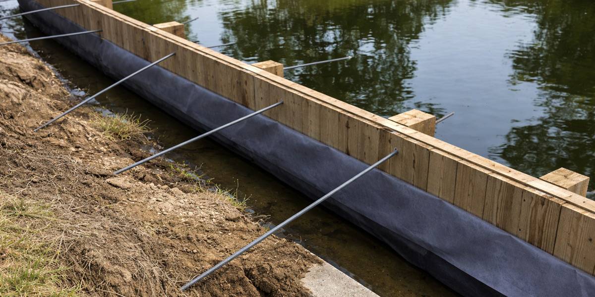
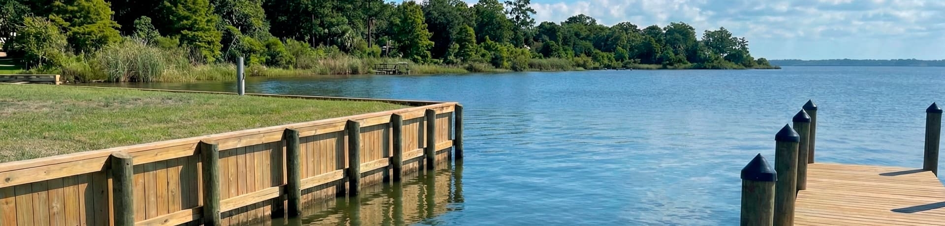
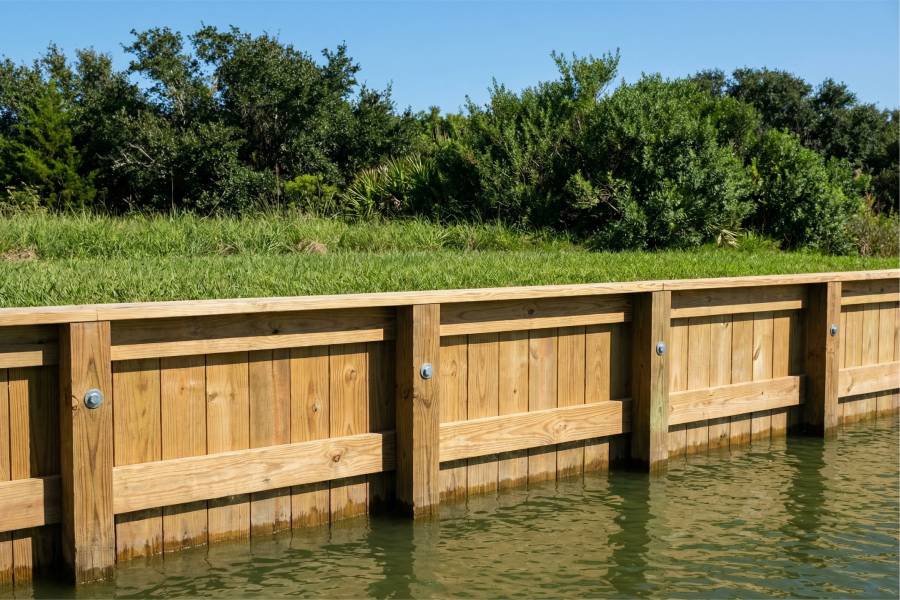
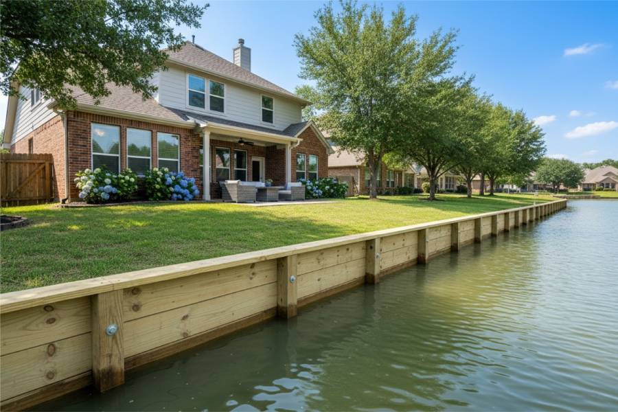
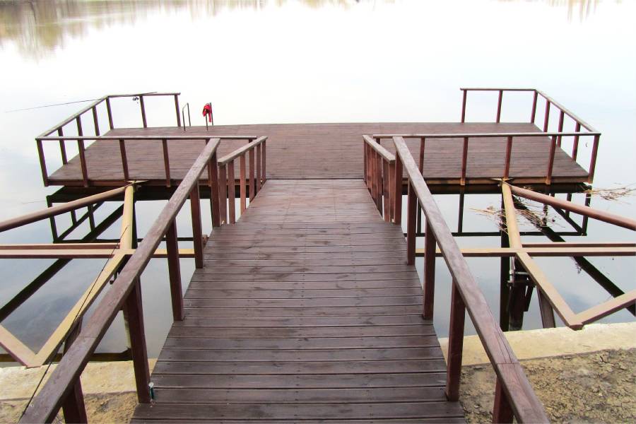
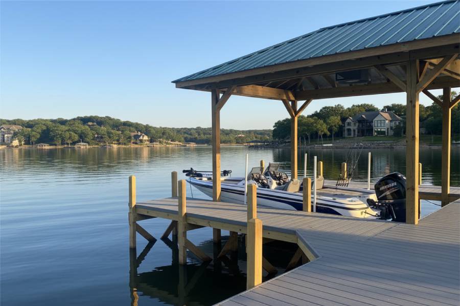
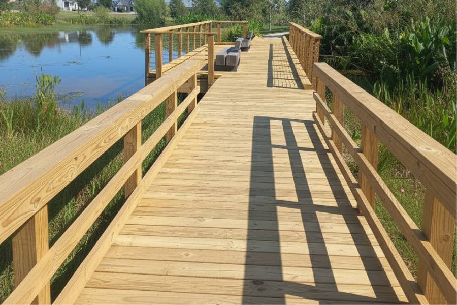
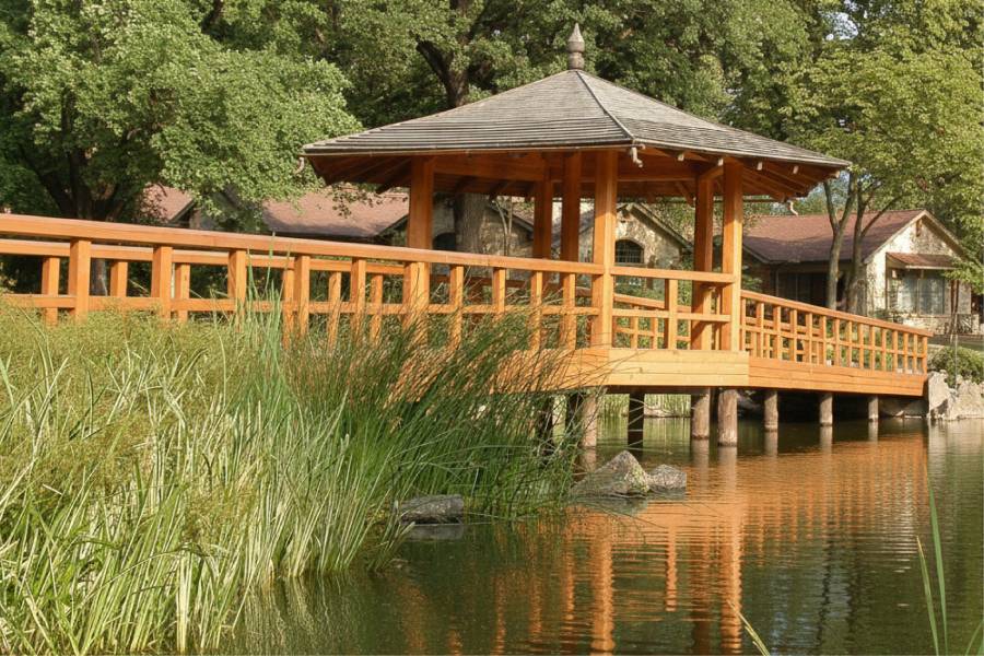
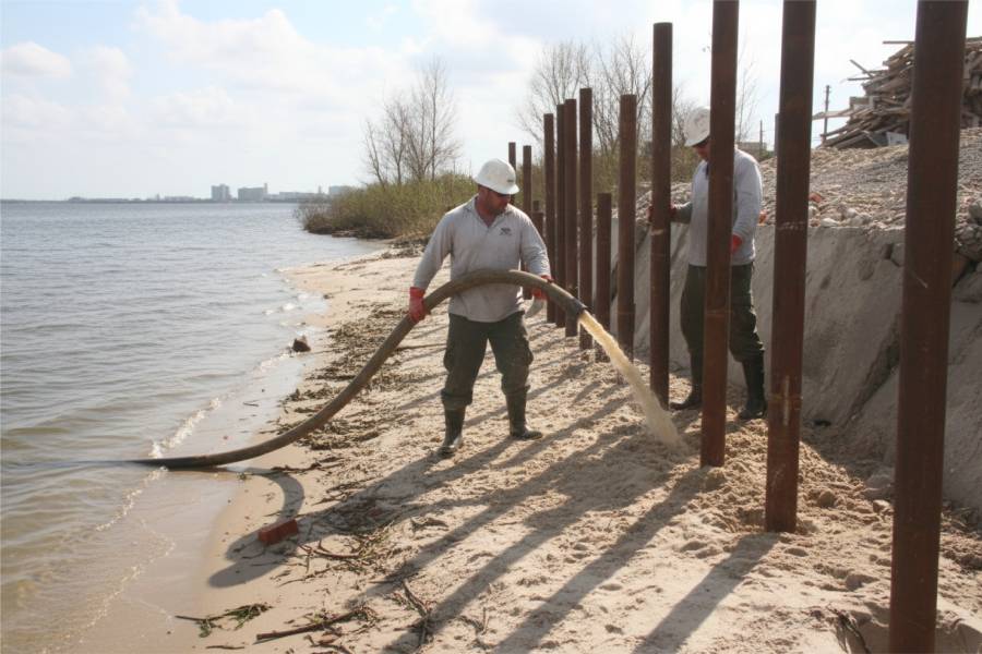
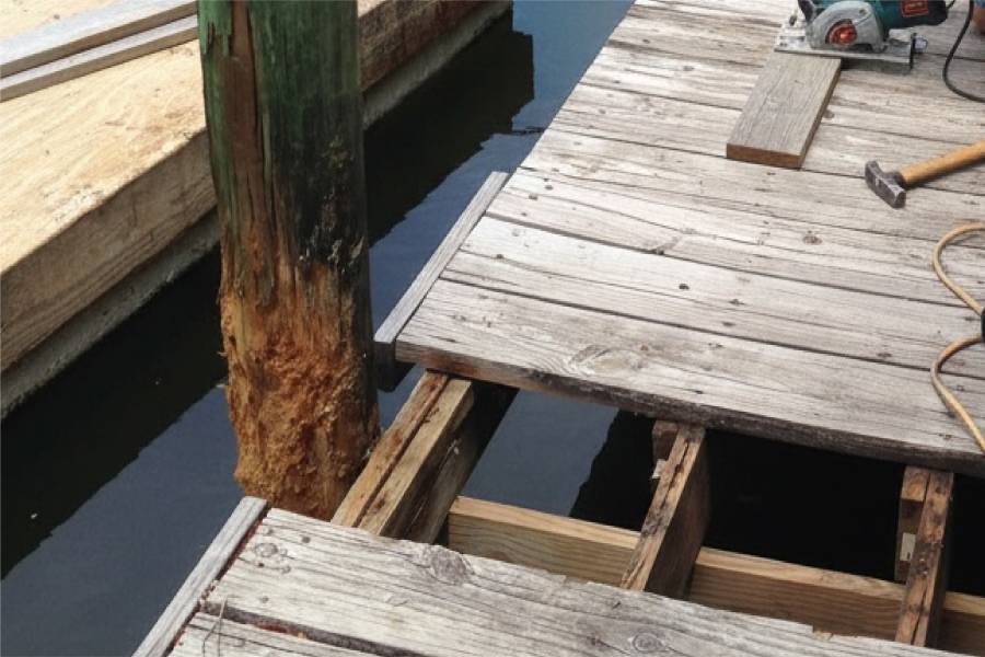
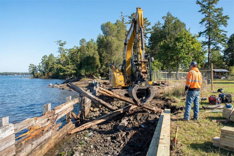
Because of that, Coastal Erosion Control in Lake Tawakoni, TX starts with walls that cover the whole working range of the lake. We build bulkheads, seawalls and retaining walls, drive pilings, and add piers, docks and boat slips that still reach water when the level falls. Existing structures can be repaired.
Pass along your Lake Tawakoni address and photos of the shoreline at its current level, and we will prepare a free preliminary estimate.