Espiritu Santo Bay Waterfront From Port O'Connor to Matagorda Island
Espiritu Santo Bay is a 16-mile-long, 5-mile-wide arm reaching northeast from San Antonio Bay in Calhoun County. A chain of barrier islands running from Port O'Connor south to Matagorda Island separates it from Matagorda Bay. Much of the shore is undeveloped, with oaks and grass on both the mainland side and the bayside of Matagorda Island. The bottom mixes mud, sand and shell with oyster reefs, and the bay is part of the Guadalupe River estuary.
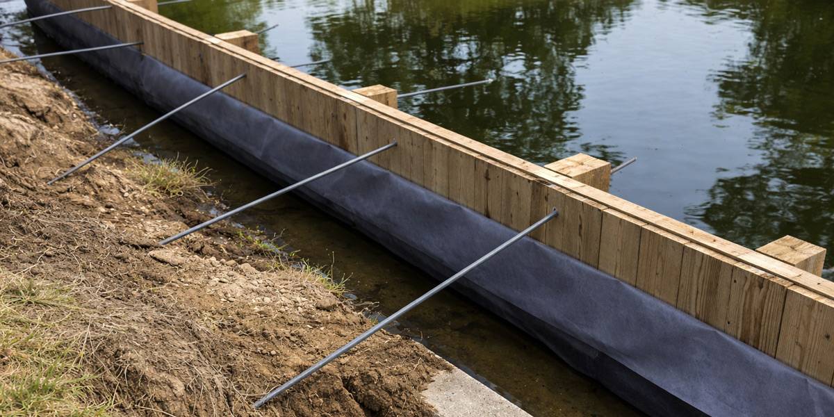
Port O'Connor has been flattened by hurricanes before, in 1919 and again by Carla in 1961, and Harvey struck in 2017. The Weather Service measured a storm tide near 3 feet there during Harvey, with water running about halfway up King Fisher Beach toward Park Street. On Matagorda Island, erosion and saltwater intrusion behind the shoreline prompted a protection project. For dock design, that history argues for strong pile bracing and deck fastening, and for scour protection at the base of walls.
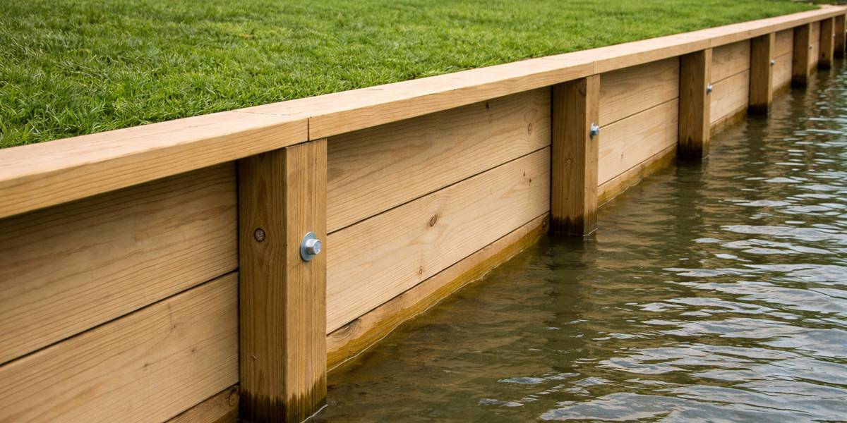
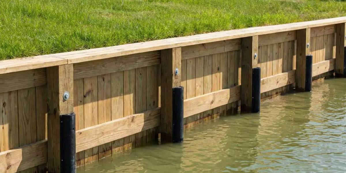
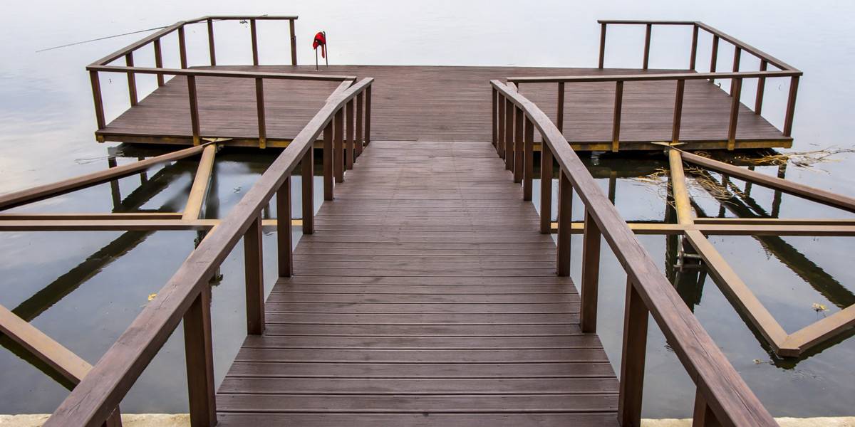
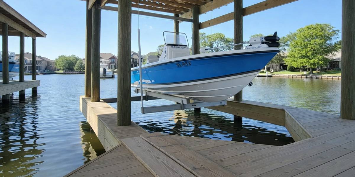
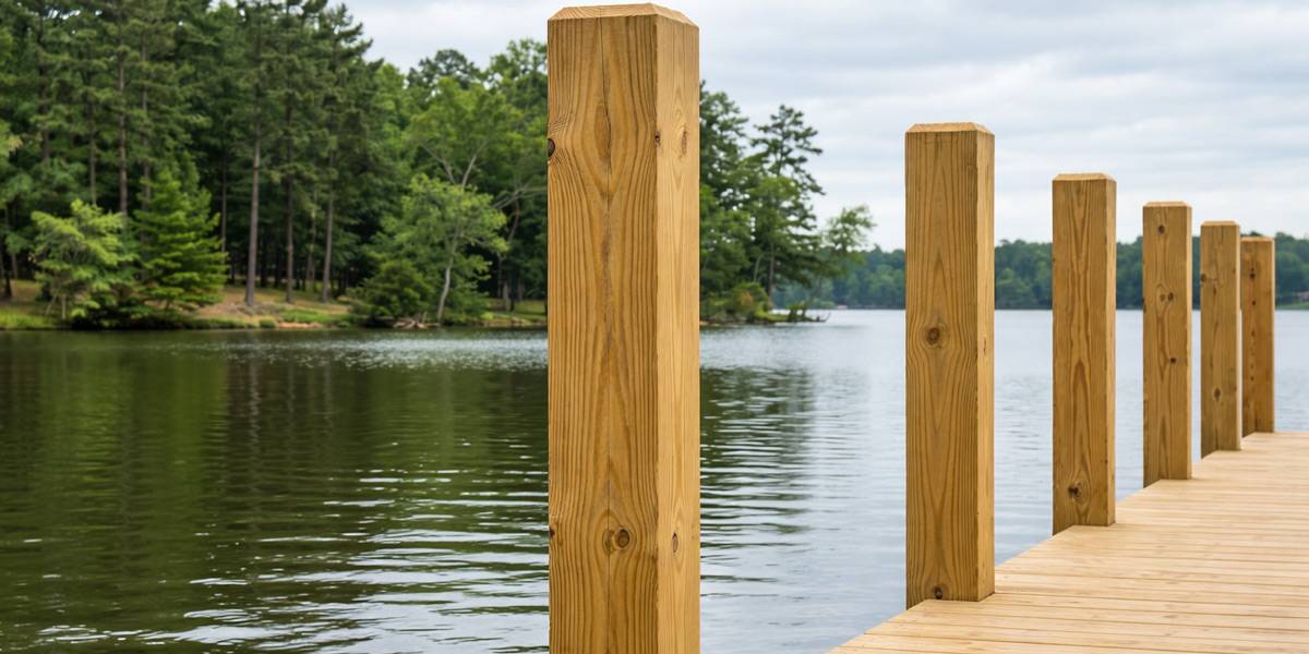
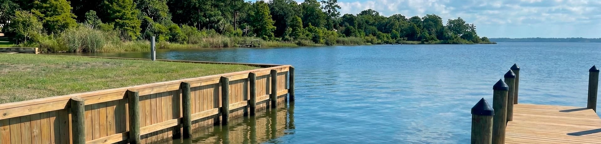
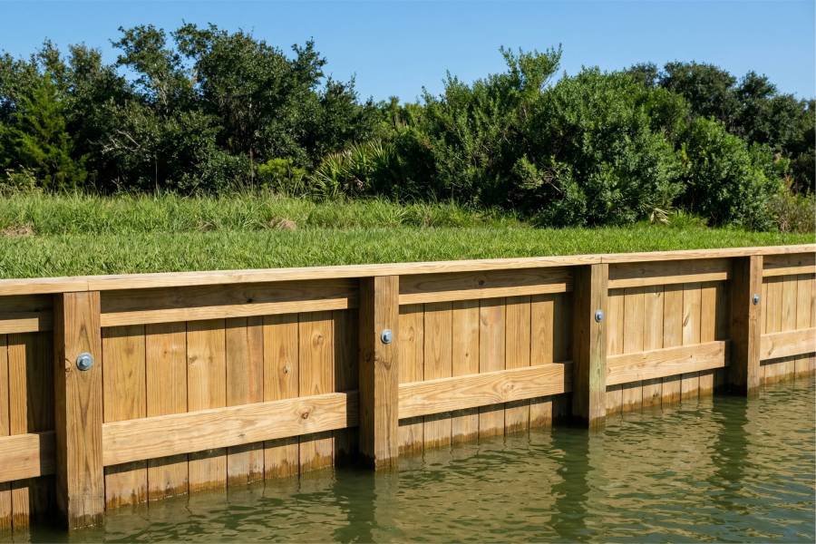
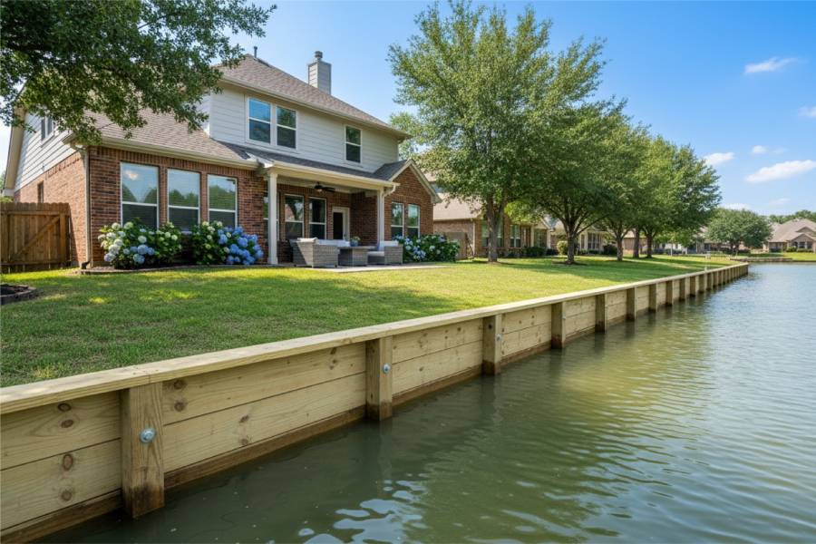
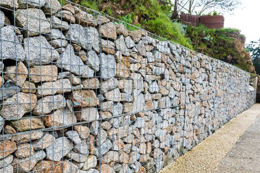
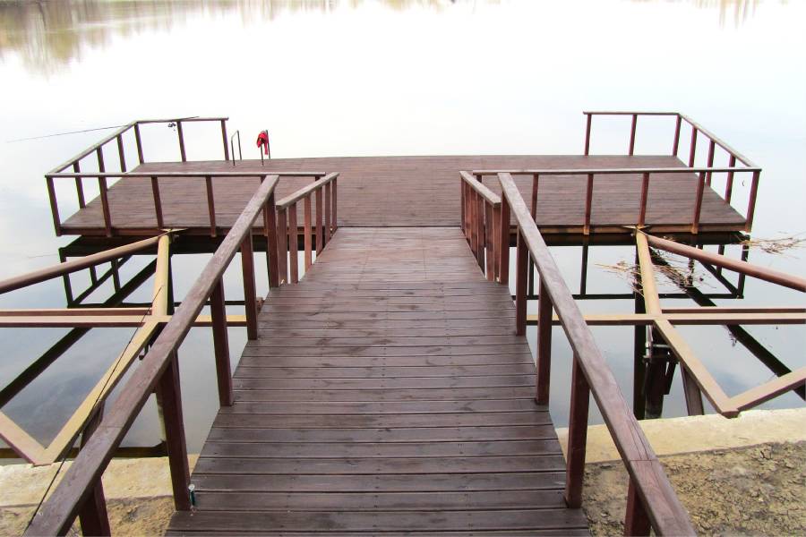
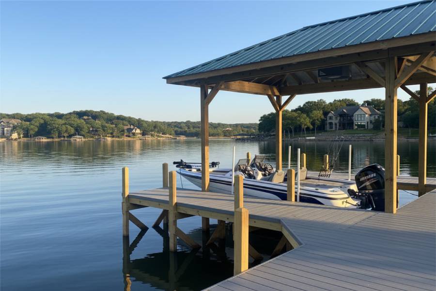
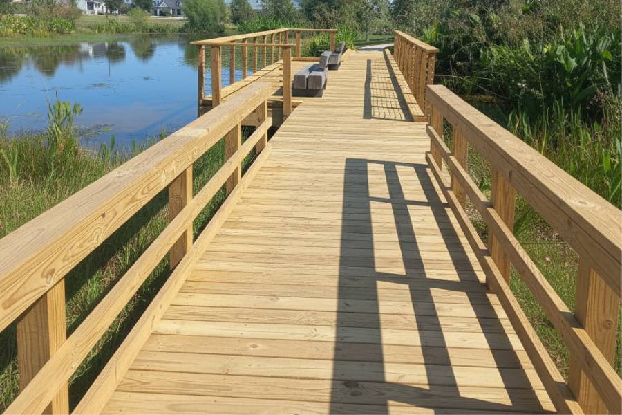
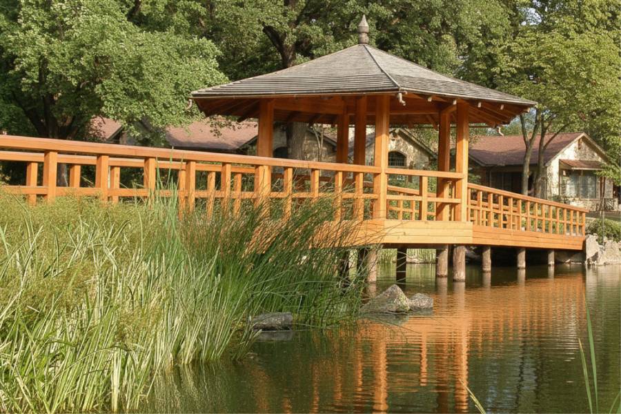
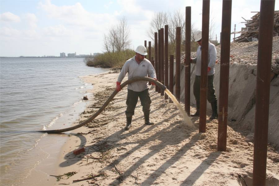
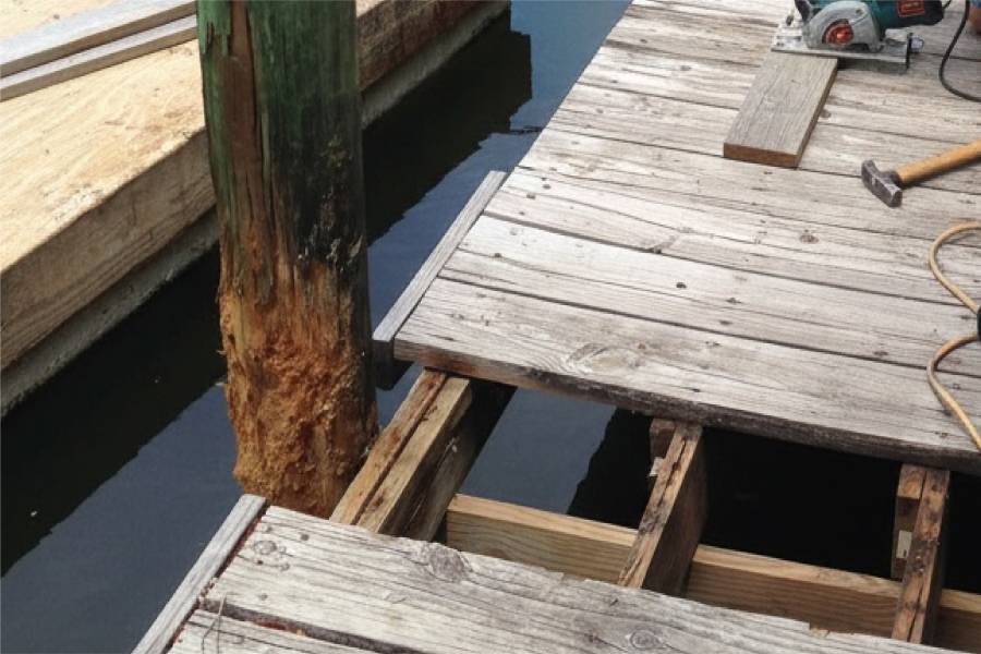
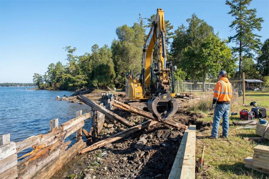
We design and build Coastal Erosion Control in Espiritu Santo Bay, TX around what each shoreline needs: bulkheads, seawalls, retaining walls, marine pilings, piers, docks, boat slips, or repairs to existing work.
Send a pin or address for your Port O'Connor area property along with a few photos. We will return a free preliminary estimate.