Coastal Erosion Control in Angelina River, Texas

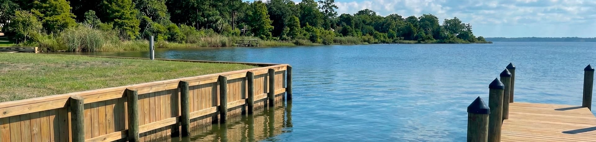
Coastal shoreline protection systems built to withstand wave action and tidal forces

Sandbars, Silt and Clay Loam Banks on the Angelina River

Barnhardt and Shawnee creeks meet northwest of Laneville in Rusk County to form the Angelina River. From there it runs southeast for about 110 miles, marking county lines between Cherokee and Nacogdoches, Angelina and Nacogdoches, and Angelina and San Augustine counties. It joins the Neches River about twelve miles north of Jasper. Steamboats once hauled cotton on it toward Sabine Pass, but by 1900 it was no longer navigable.

That change came from the land. Farming and clear-cutting in the watershed sent silt into the channel, and many sandbars formed along its course. The banks are sandy and clay loams under water-tolerant hardwoods and conifers. Sandy loam slumps when a rising river saturates it and then drops away. Clay loam holds better but swells and shrinks with moisture, which can tilt posts and walls over time. Shifting sandbars can also move the deepest water away from a dock.

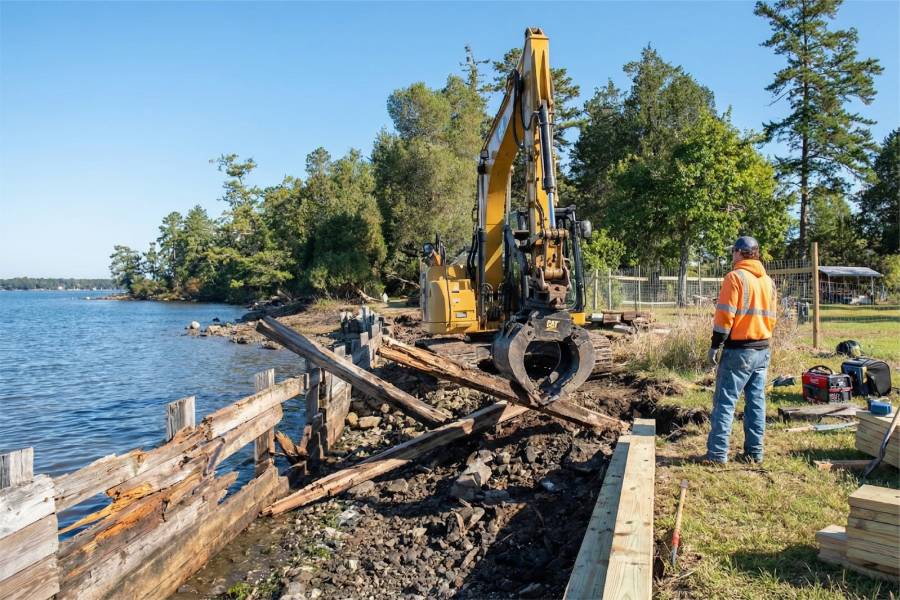
We provide Coastal Erosion Control in Angelina River, TX for East Texas river lots: bulkheads and seawalls where a cut bank is retreating, retaining walls on steep slopes, piers and docks set on marine pilings driven into firm soil, and repair of structures that have shifted.

Have a spot on the Angelina? Text or email the location with photos taken at normal water and, if you have them, after high water. Expect a free preliminary estimate in return.


Coastal Erosion Control in Angelina River, Texas

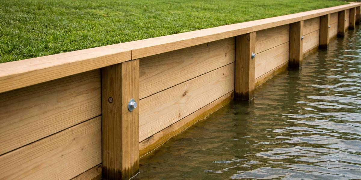
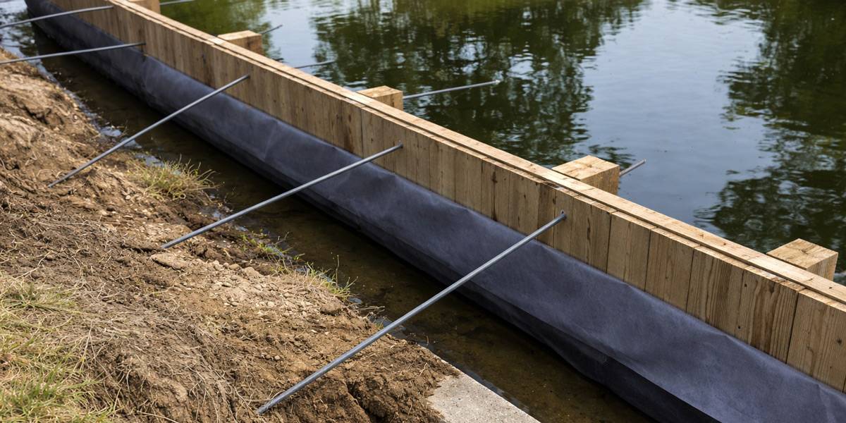
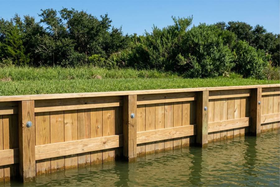
Bulkhead Construction and Repair in Angelina River, TX

Bulkheads for cut banks in the sandy and clay loam soils along the Angelina River

Coastal Erosion Control in Angelina River, Texas

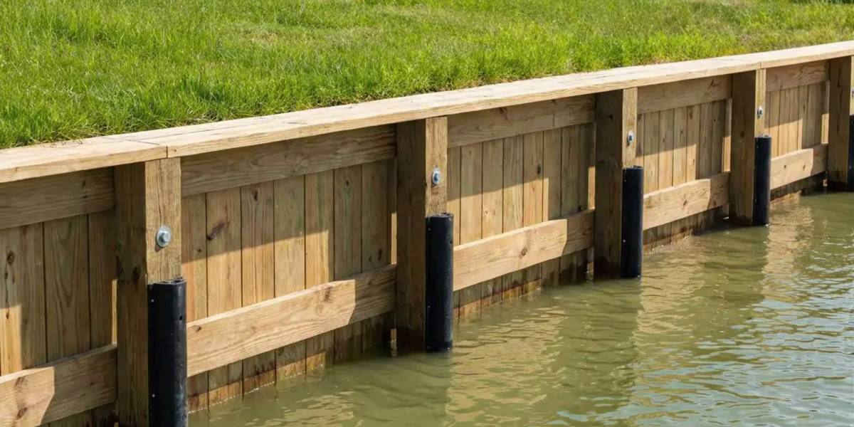
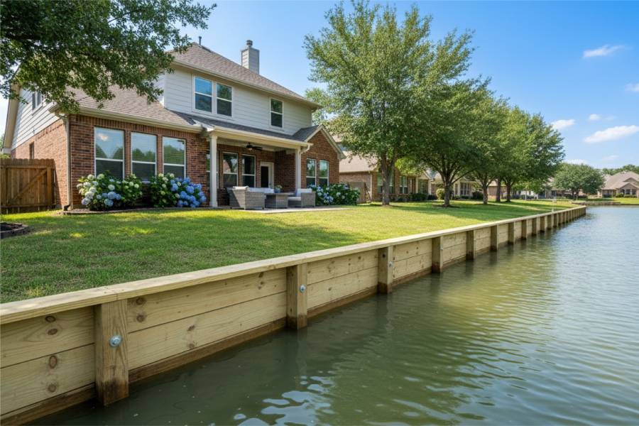
Seawall Construction and Repair in Angelina River, TX

Seawalls and bank armor where high water undercuts Angelina River frontage

Coastal Erosion Control in Angelina River, Texas

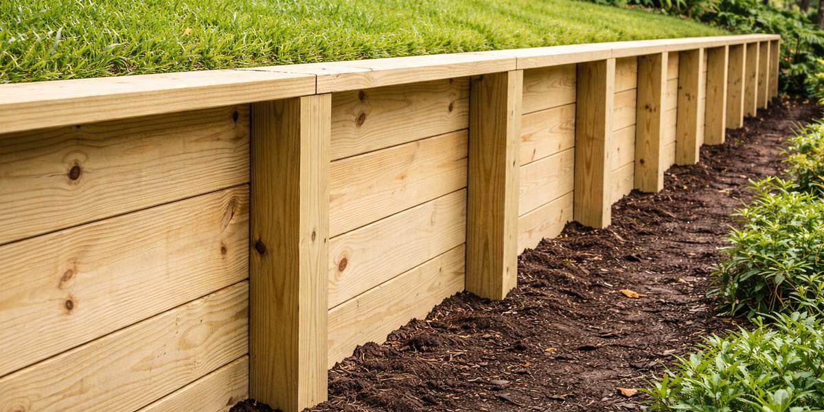
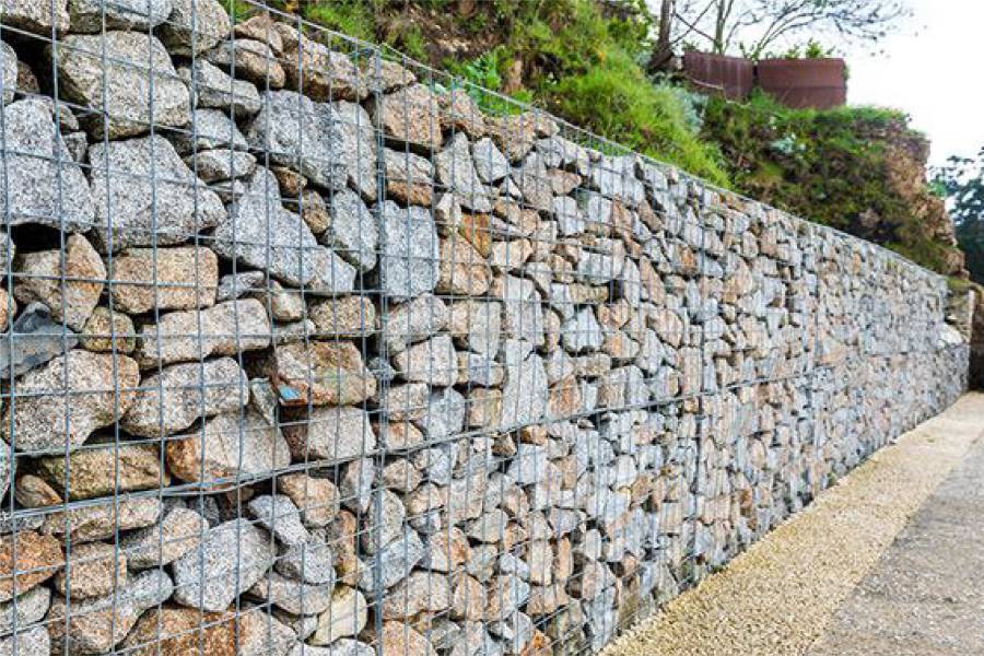
Retaining Wall Construction and Repair in Angelina River, TX

Retaining walls for steep wooded slopes above the Angelina River

Coastal Erosion Control in Angelina River, Texas

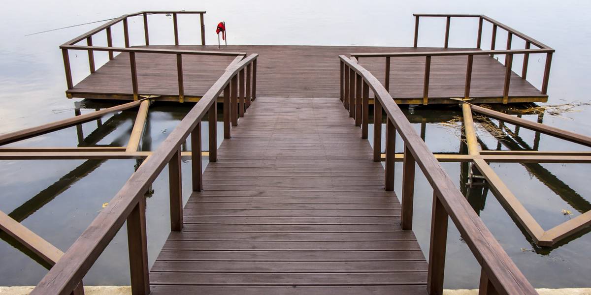
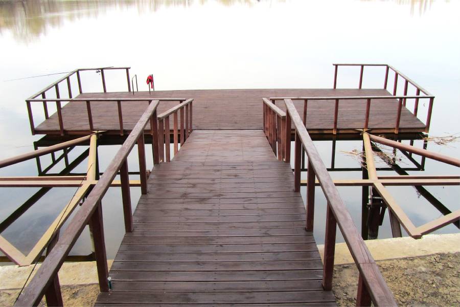
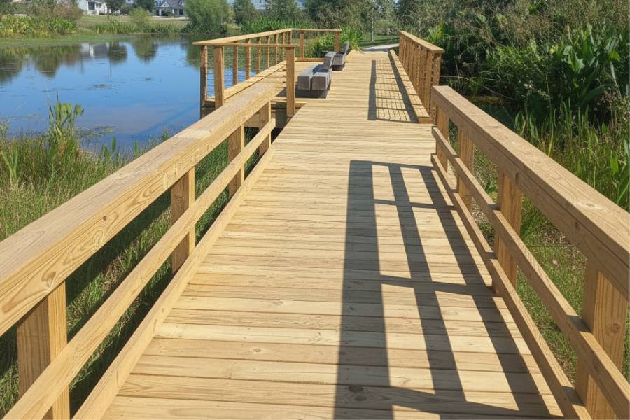
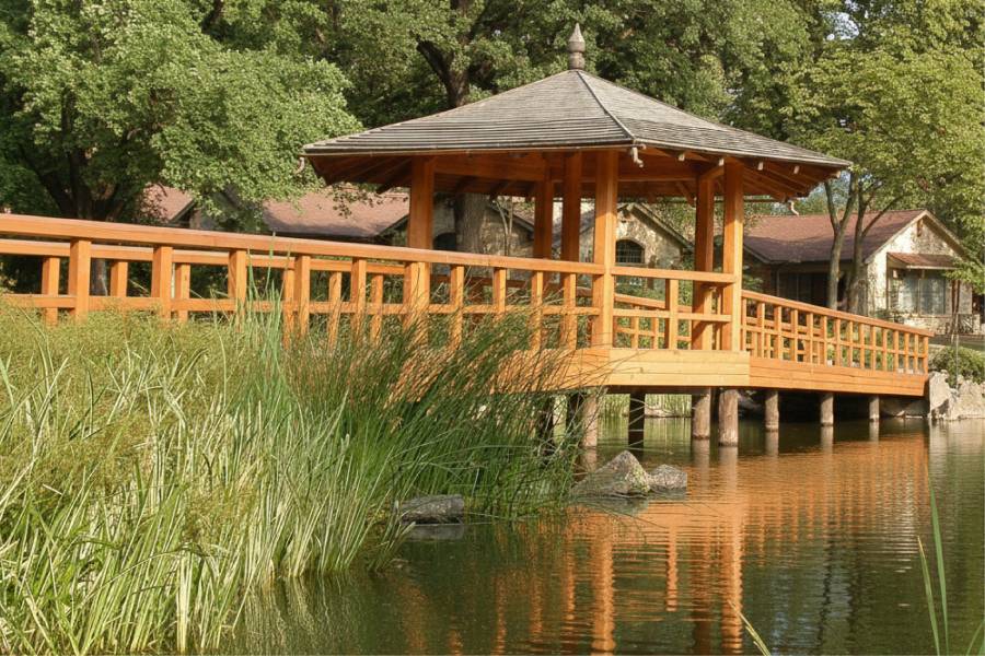
Pier Construction and Repair in Angelina River, TX

Piers reaching past silt and sandbars to deeper Angelina River water

Coastal Erosion Control in Angelina River, Texas

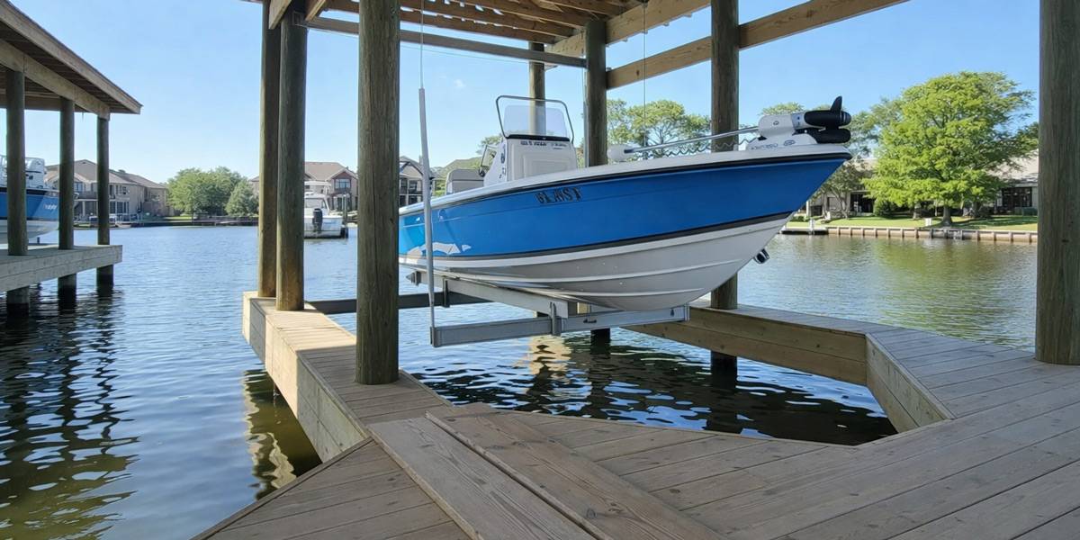
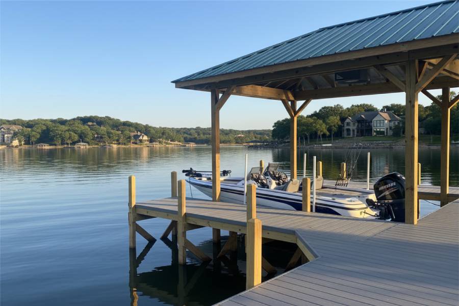
Dock and Boat Slip Construction and Repair in Angelina River, TX

Docks and boat slips set where the Angelina River channel holds its depth

Coastal Erosion Control in Angelina River, Texas

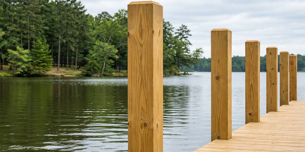
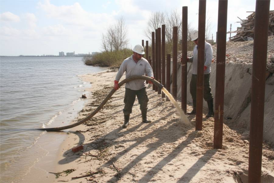
Marine Piling Installation in Angelina River, TX

Marine pilings driven through loose river silt into firmer Angelina soil

Coastal Erosion Control in Angelina River, Texas

Waterfront Repair and Maintenance in Angelina River, TX

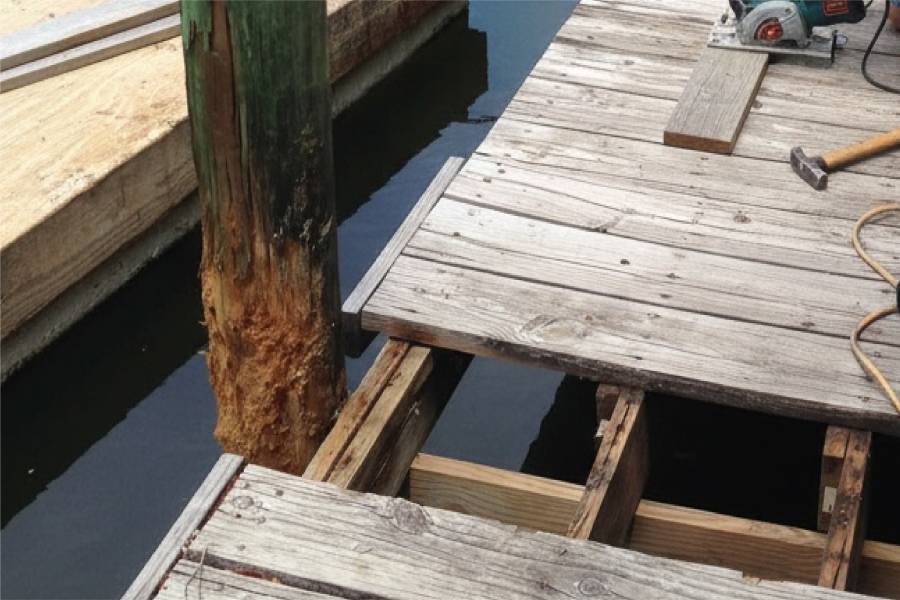
Repair of tilted posts, shifted walls and worn decking on the Angelina River

Coastal Erosion Control in Angelina River, Texas

Trust the Professionals!

Get a Free Consultation and Preliminary Cost Estimate
Coastal Erosion Control in Angelina River, Texas

Frequently Asked Questions About Coastal Erosion Control in Angelina River, TX

Why are there so many sandbars on the Angelina River?

Farming and clear-cutting by the lumber industry caused the river to silt up, and numerous sandbars formed along its course. That sediment still shapes where the deeper water runs past a given lot.

What soil will a wall or dock sit in along the Angelina?

The river crosses flat to rolling land surfaced by sandy and clay loams. We probe the bank at your site, because the mix can change within a short distance.

Can a sandbar move away from my dock on the Angelina River?

Sediment does shift in a silty river, so the channel next to a dock can change after high water. We look at the bank shape and set the dock where water depth is most likely to hold.

Which counties does the Angelina River pass through?

It rises in Rusk County and forms boundaries between Cherokee, Nacogdoches, Angelina and San Augustine counties before reaching the Neches north of Jasper in Jasper County.

How do I start a quote for Angelina River frontage?

Send the location or nearest road, photos of the bank and any existing structure, and the approximate length you want protected. Those three things get you a free preliminary estimate.

Close
Close
loading