Waterfront properties in Richmond, Texas in Fort Bend County sit along the Brazos River as it flows through one of Texas's most historically significant river corridors. The Brazos at Richmond is a wide, meandering river subject to significant seasonal flooding — Fort Bend County's floodplain along the Brazos is among the most frequently inundated in Texas, and major storms routinely bring the river out of its banks. The river's alluvial soils in Fort Bend County include heavy clay deposits that shift significantly with seasonal moisture changes, creating lateral pressure on bank structures through wet-dry cycles. Post-Harvey Brazos River flooding was particularly severe in the Richmond area.
Compare materials and starting prices on our bulkhead construction and repair page.
Shore Protect Team LLC works on bulkhead and bank stabilization for Richmond waterfront properties along the Brazos River. River current, periodic flooding, and Fort Bend County's expansive clay soils require structural designs appropriate for these active river conditions.
Send us photos for a free preliminary assessment.

labor and materials
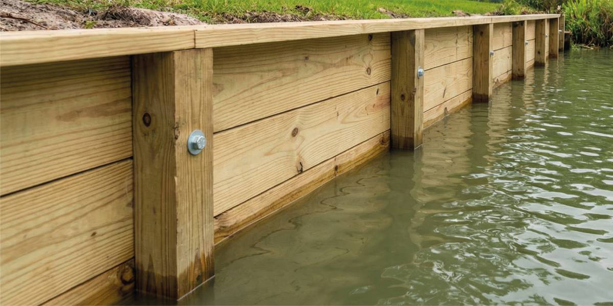
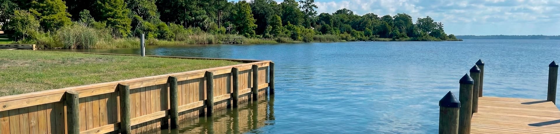
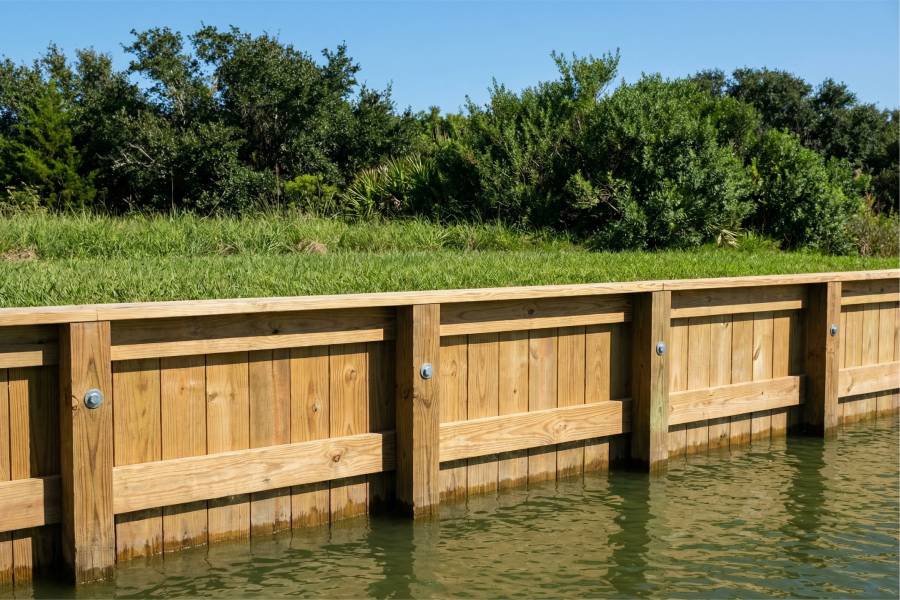
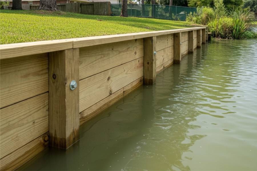
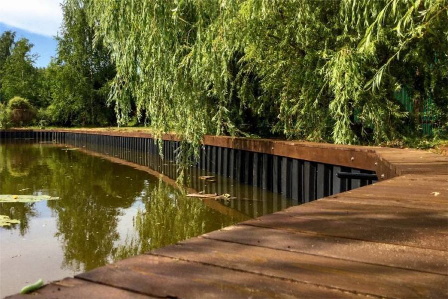
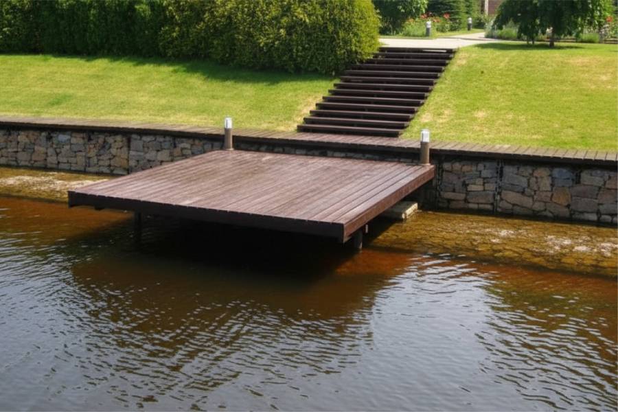
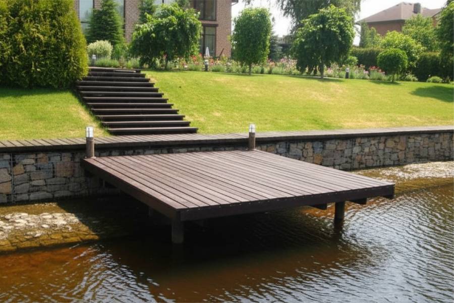
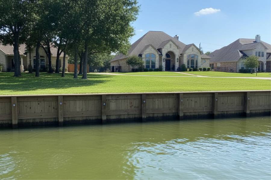
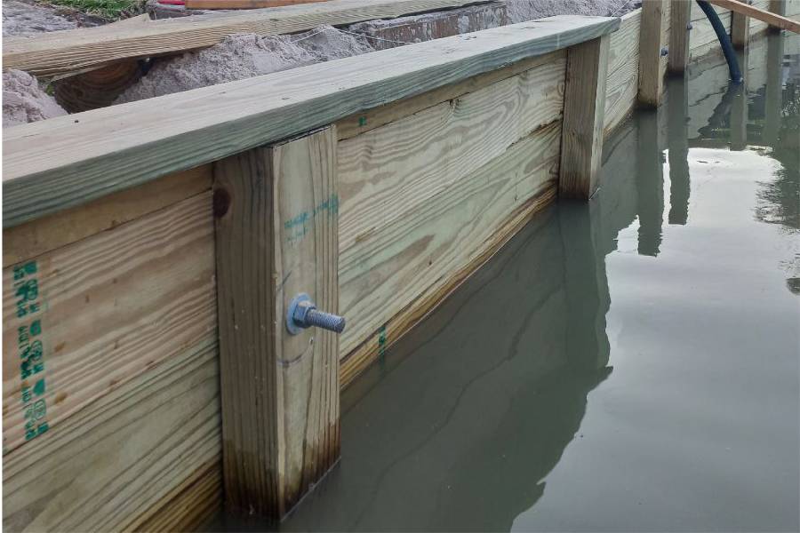
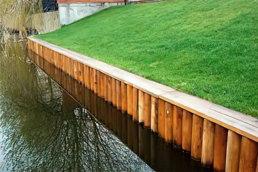
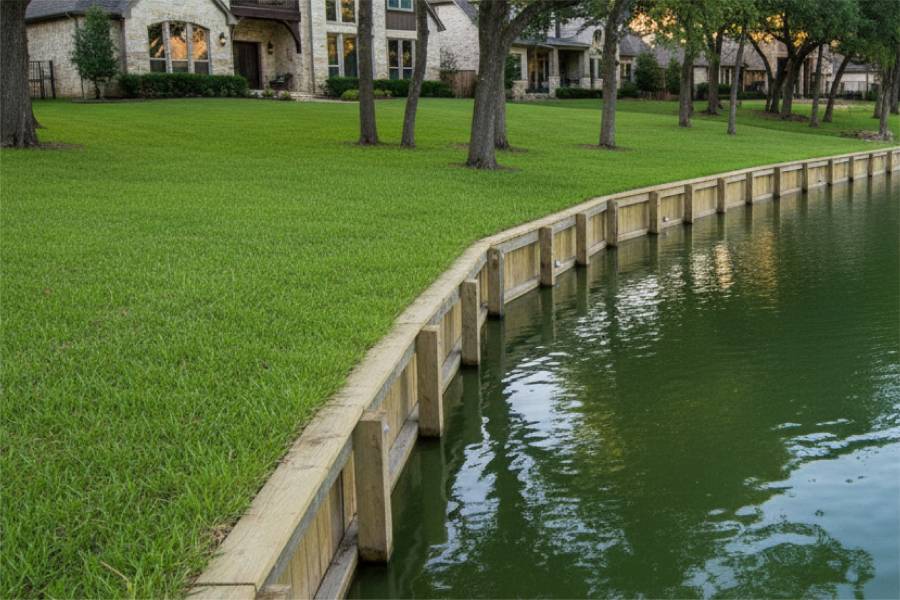
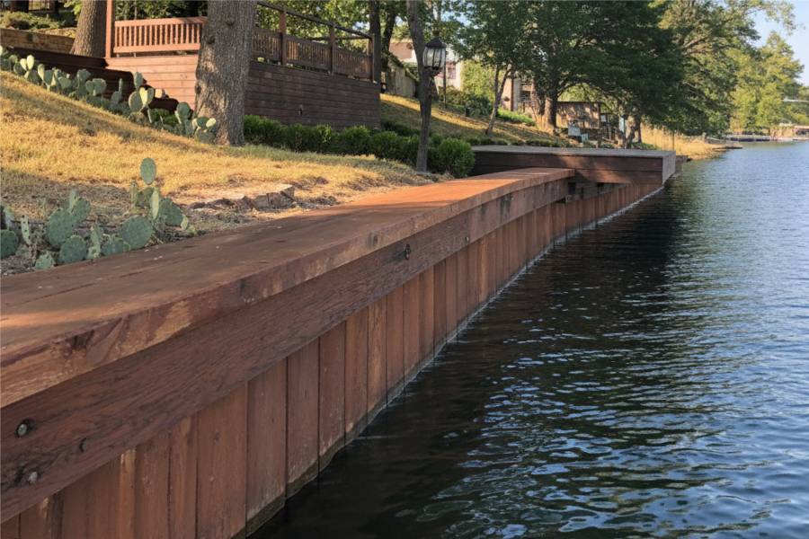
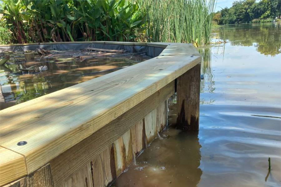
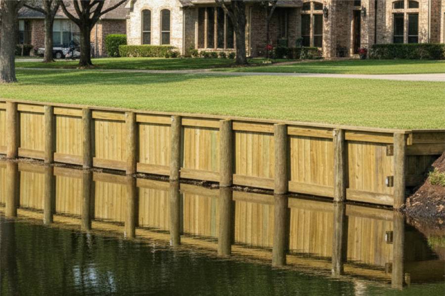
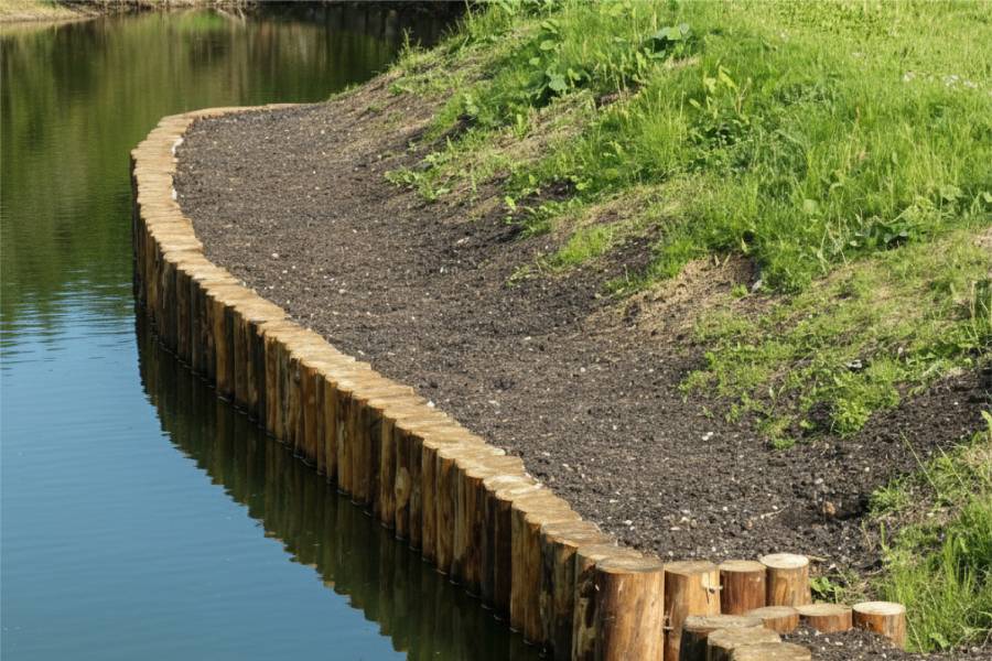
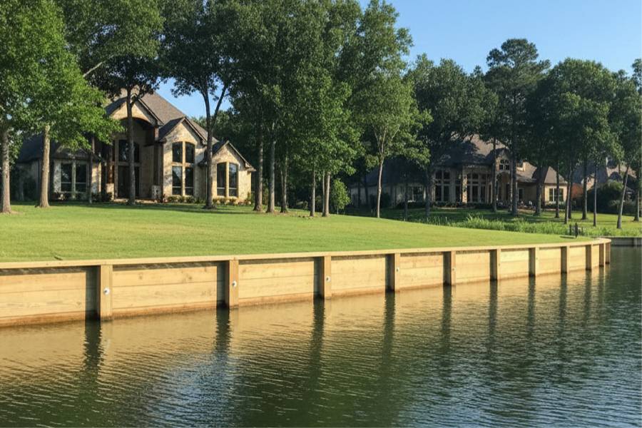
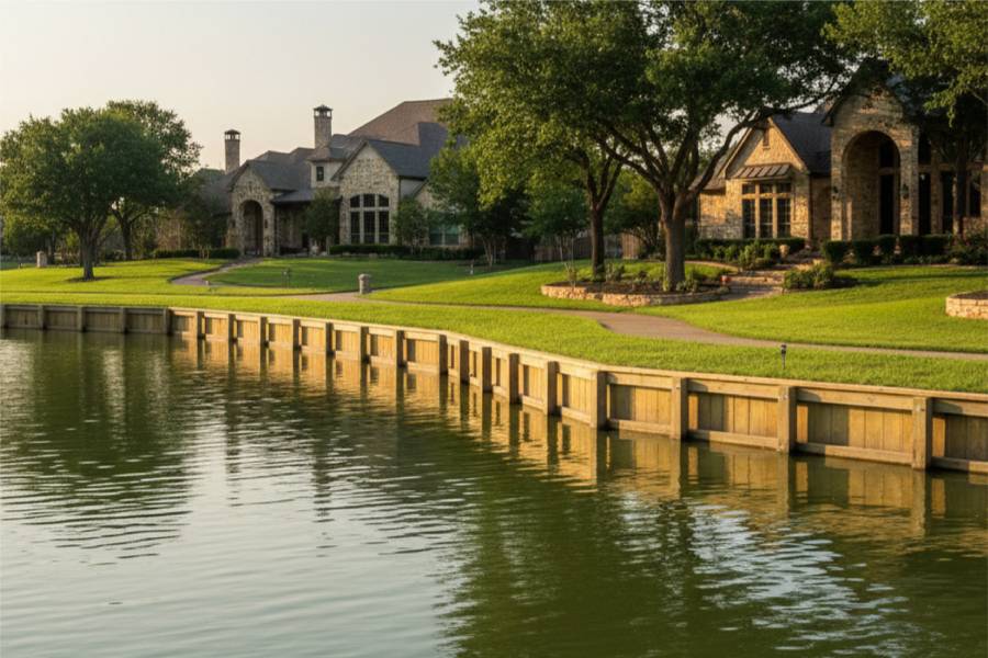
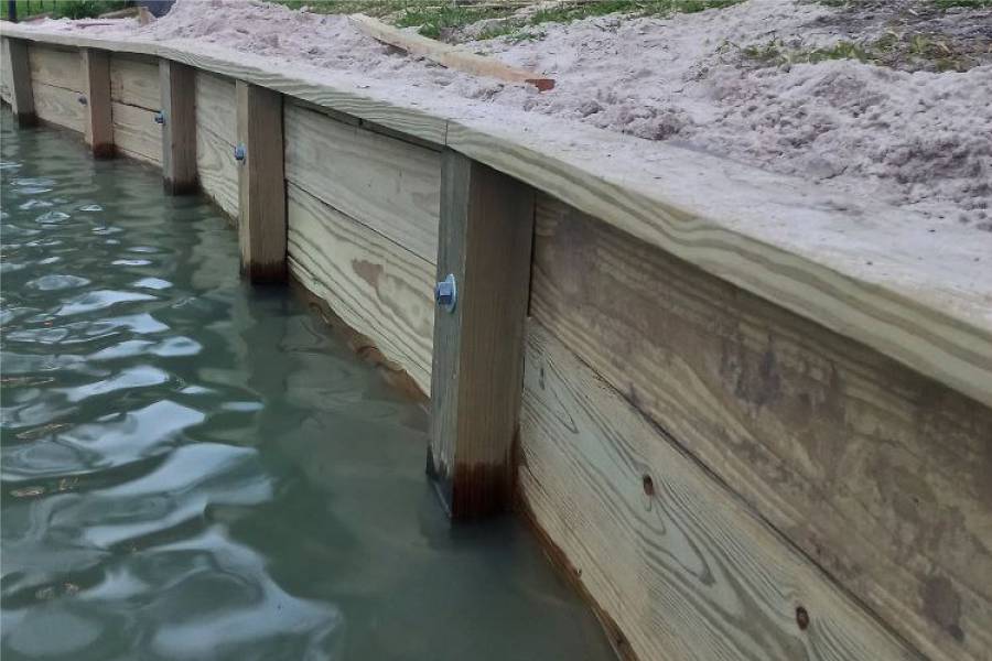
Wood bulkheads for Richmond lots on lakes in master-planned communities, where the water is calm and the level steady.

labor and materials
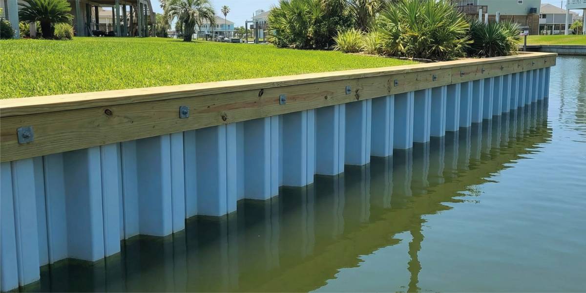
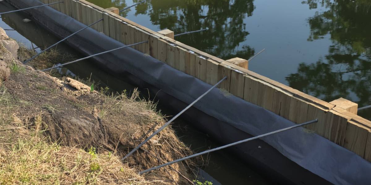
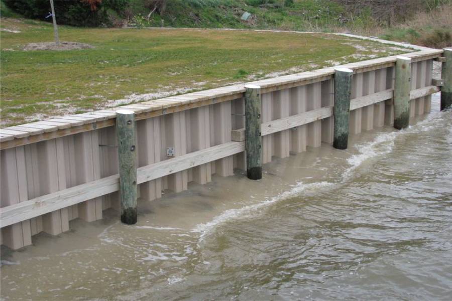
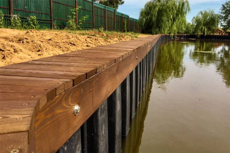
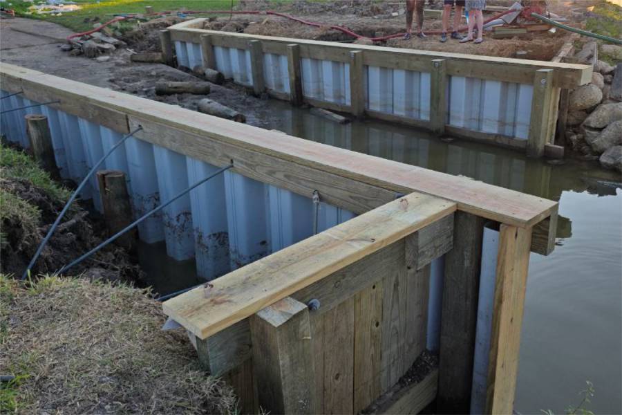
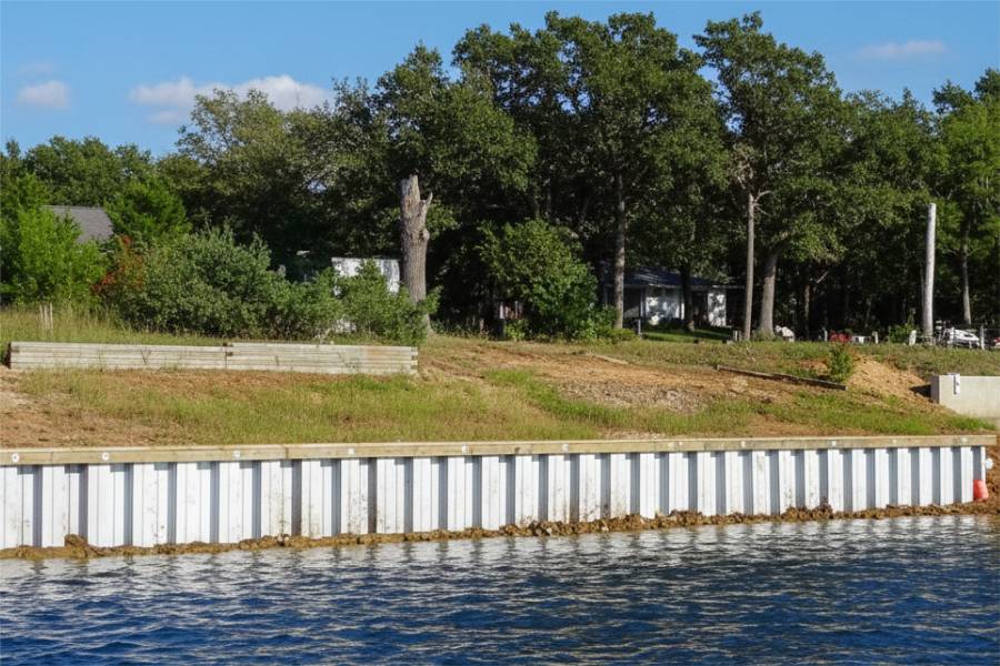
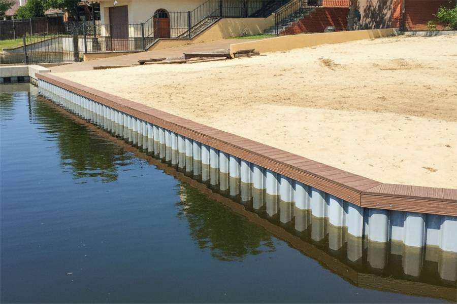
Vinyl bulkheads for Brazos River homes in Richmond, tied back to handle Fort Bend clay that swells after every flood.

labor and materials
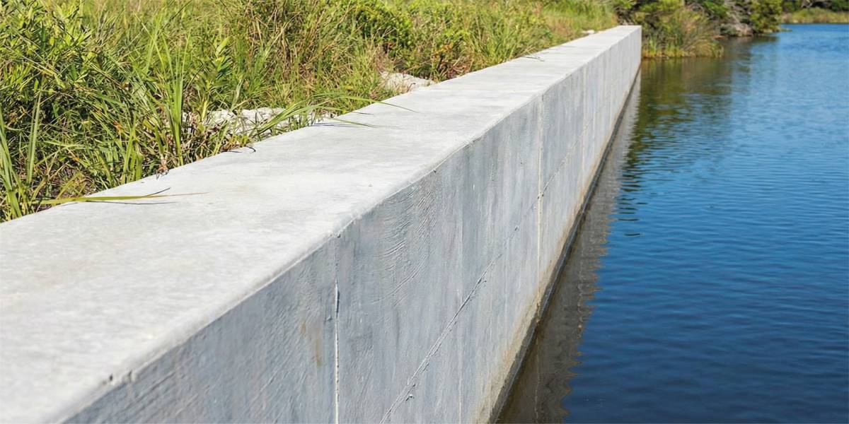
Reinforced concrete walls for tall Brazos riverbanks in Richmond, where caving banks threaten homes and roads.

labor and materials
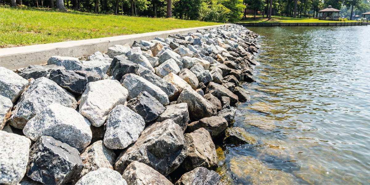
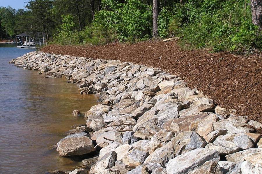
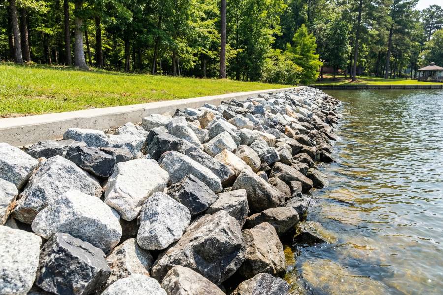
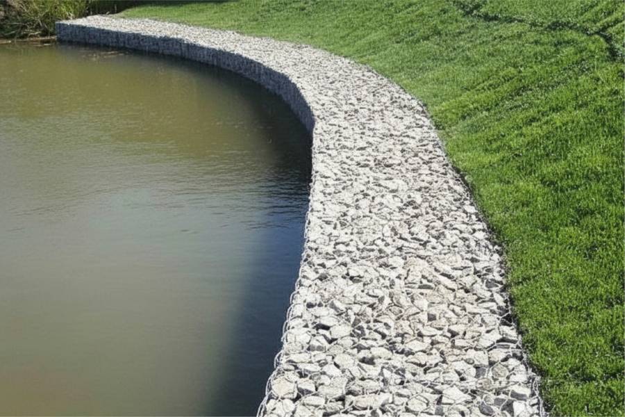
Rock bank protection for the outside of Brazos River bends at Richmond, where flood current does most of the damage.

labor and materials
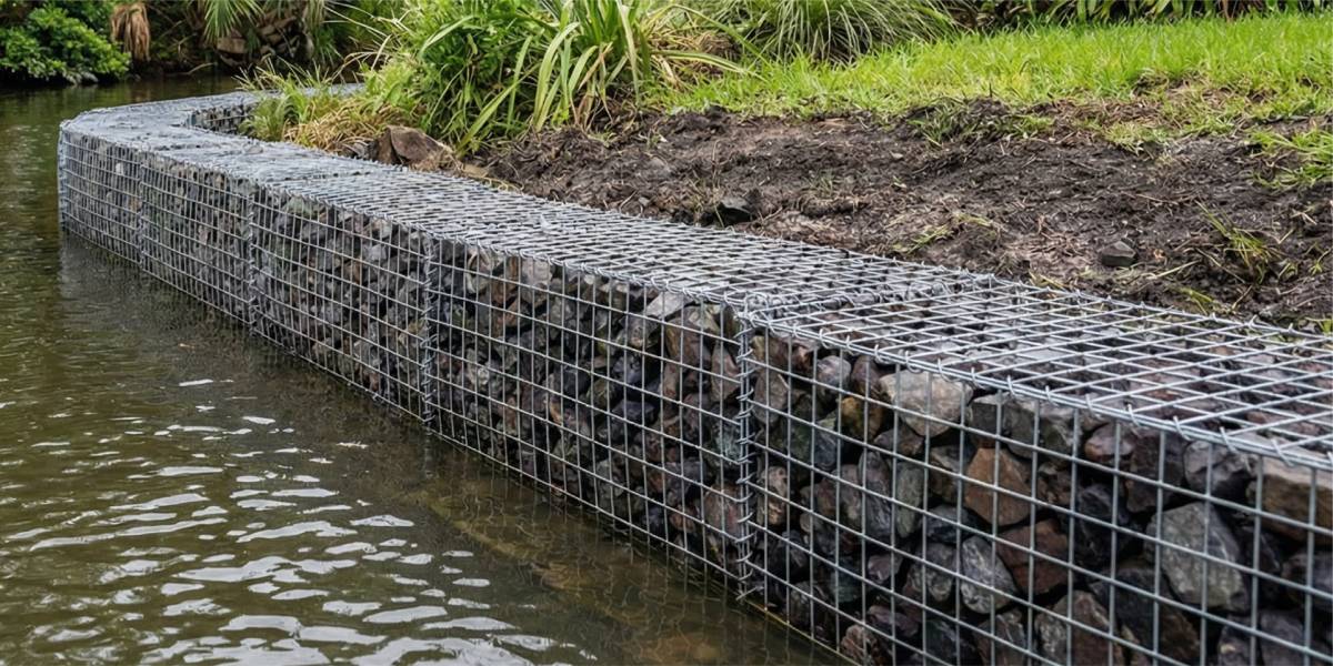
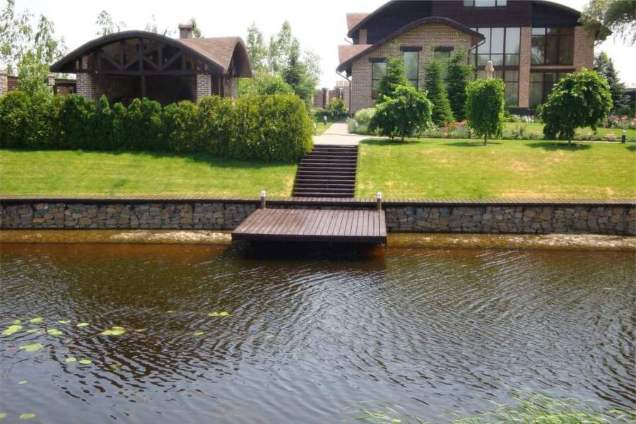
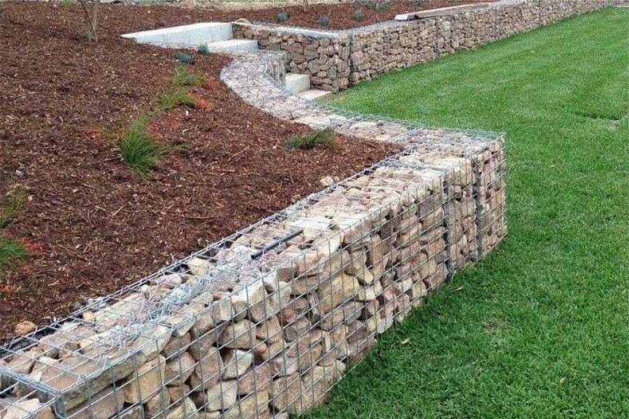
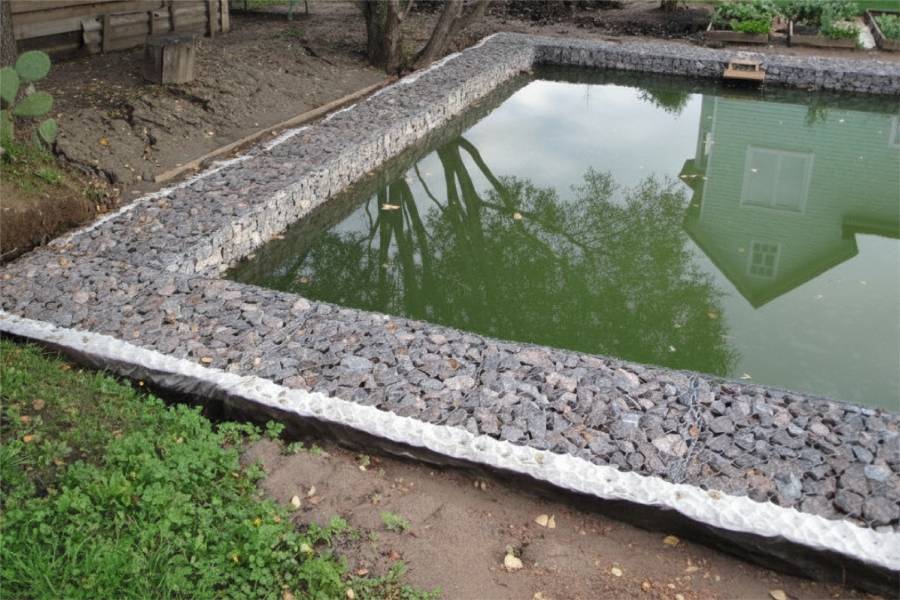
Gabion walls for Richmond banks that have already caved, rebuilt in rock baskets that drain after high water.

labor and materials
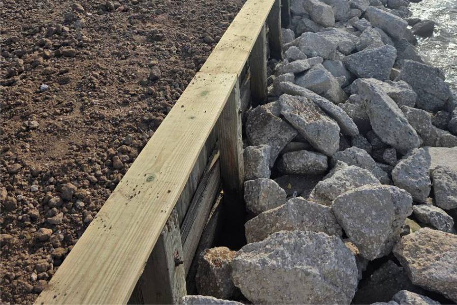
Repair of Richmond bulkheads after Brazos floods: scoured toes, tilted walls and voids behind the wall in shifting clay.


The Brazos set record flood levels at Richmond in 2016, and Hurricane Harvey brought it close to that again a year later. High water can last for days, and the current scours the outside of each bend.
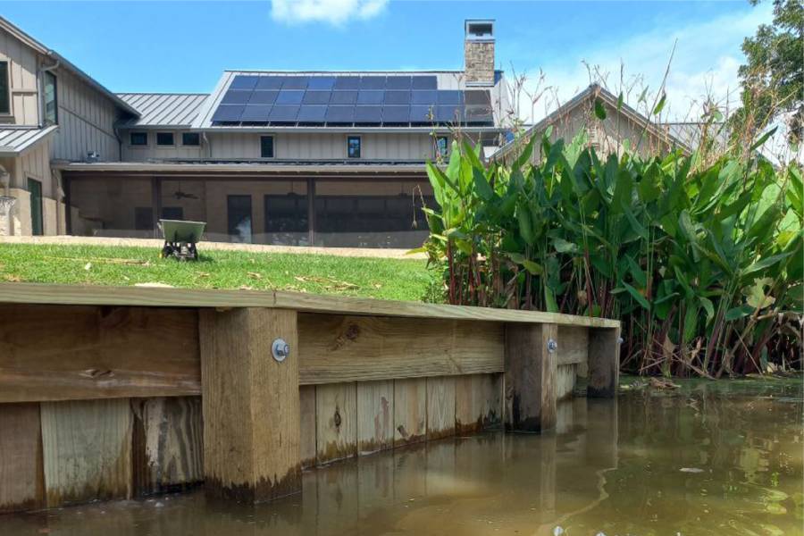
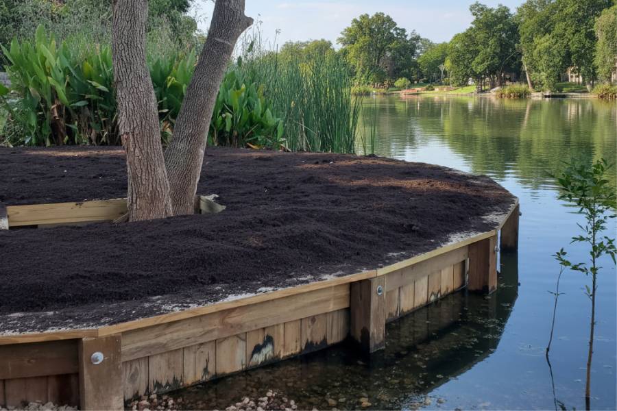
After the water drops, the clay and sandy loam banks cave in, moving the edge of the property closer to homes and roads.
The heavy clay along the Brazos shrinks when it dries and swells when it gets wet. Through each wet and dry cycle it pushes sideways on any wall built into the bank. Tie-backs and drainage have to be sized for that movement, not only for the height of the bank.
No. Lakes in the master-planned communities around Richmond are calmer and more stable than the Brazos. Walls there can be lighter, and the main concerns are clay movement and small waves rather than flood current.
Yes, the earlier the better. Once a bend is actively caving, each flood takes more ground, and repair gets more expensive.
Send us photos of the riverbank and your property location for a free preliminary assessment.