Bank Stabilization Services in Lake Palestine, Texas

Walls and riprap that stop sandy clay banks from washing into the lake

Creek Arms and Main-Lake Banks on the Neches River at Lake Palestine

Blackburn Crossing Dam, a 5,720-foot earthfill embankment east of Frankston, impounds the Neches River to form Lake Palestine. The lake runs about 18 miles from northwest to southeast, covers roughly 23,000 to 25,500 acres depending on the survey, and has about 135 miles of shoreline across Anderson, Henderson, Smith and Cherokee counties. The Upper Neches River Municipal Water Authority owns and operates it, about 15 miles southwest of Tyler.

TPWD lists the normal fluctuation at about 2.2 feet, though drought can push it much lower. In summer 2011 the public boat launch near Chandler went dry and lakebed was exposed near the northwest end. The Texas 155 bridge crosses the lake. Above it, the Kickapoo, Neches, Highsaw and Ledbetter arms and Flat Creek hold most of the vegetation and inundated timber. Between the bridge and the dam, natural cover is thinner and anglers rely on brush piles. Average depth is only about 16 feet, so shallow banks are common.

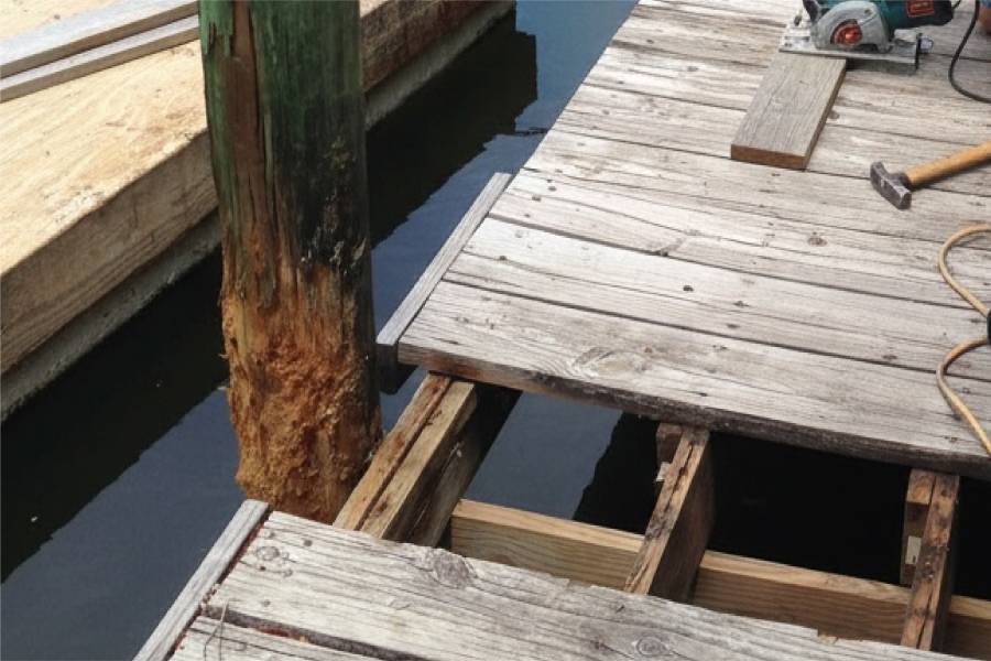
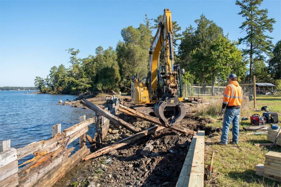
We offer Bank Stabilization Services in Lake Palestine, TX on creek-arm lots and main-lake frontage alike. The work includes bulkheads, seawalls, retaining walls and marine pilings, plus piers, docks and boat slips set out to reach usable depth. We also repair existing structures.

Tell us where your Lake Palestine property is and include photos of the shore. A free preliminary estimate for that stretch of bank follows.


Bank Stabilization Services in Lake Palestine, Texas

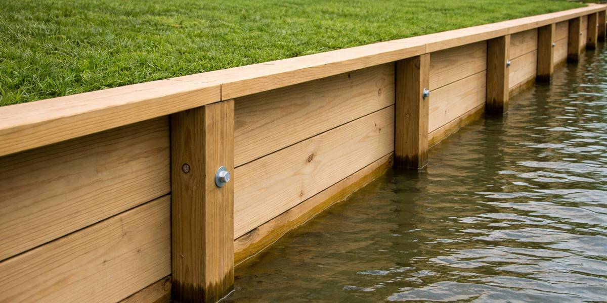
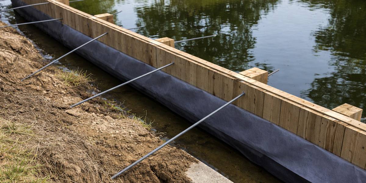
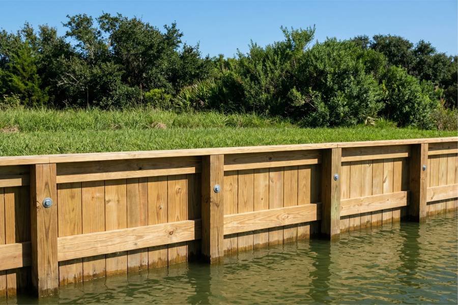
Bulkhead Construction and Repair in Lake Palestine, TX

Bulkheads for main-lake lots on Lake Palestine between the Texas 155 bridge and the dam

Bank Stabilization Services in Lake Palestine, Texas

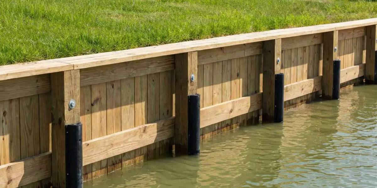
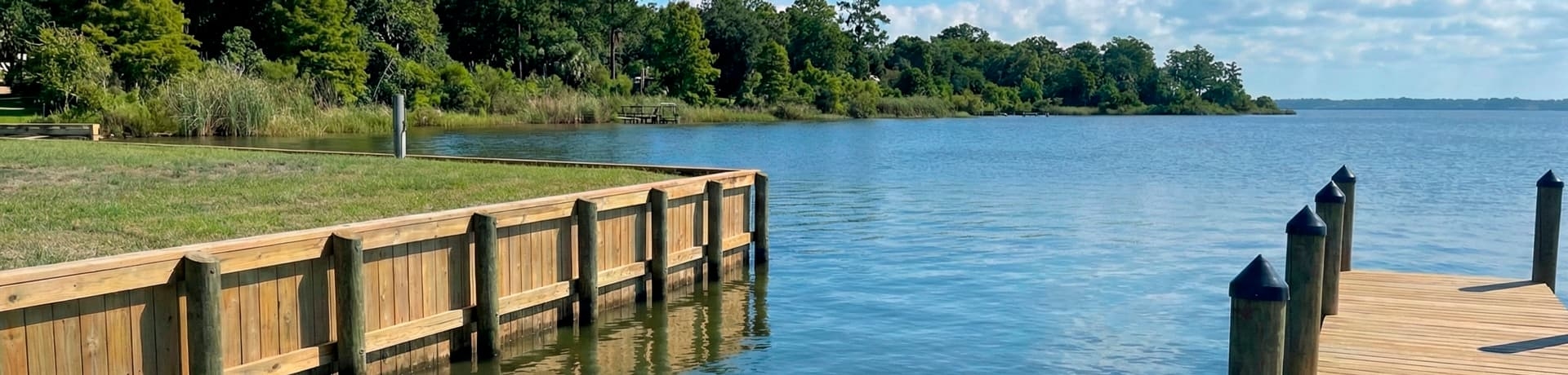
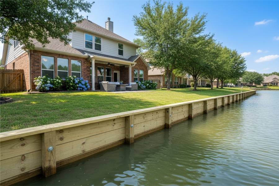
Seawall Construction and Repair in Lake Palestine, TX

Seawalls for Lake Palestine banks exposed along its 18-mile length

Bank Stabilization Services in Lake Palestine, Texas

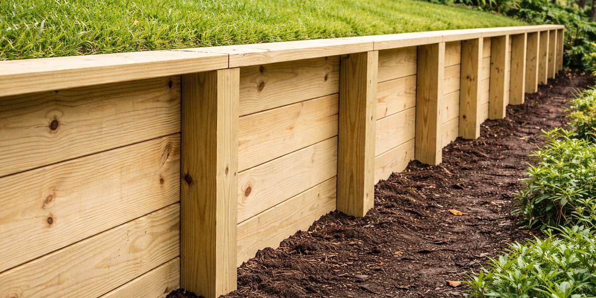
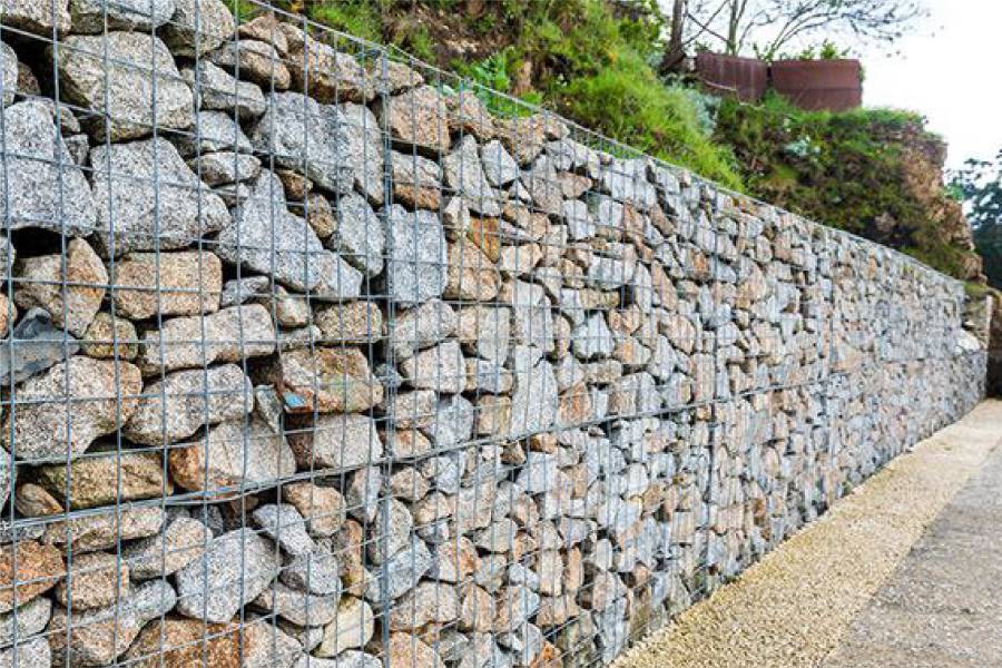
Retaining Wall Construction and Repair in Lake Palestine, TX

Retaining walls for sloped Lake Palestine yards above creek arms and coves

Bank Stabilization Services in Lake Palestine, Texas

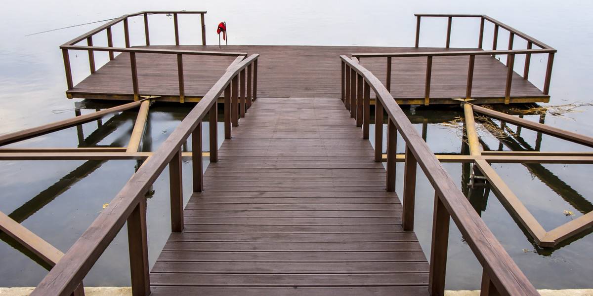
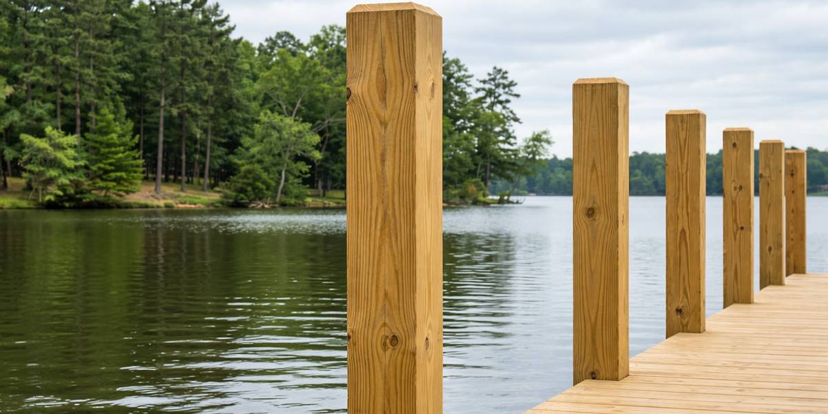
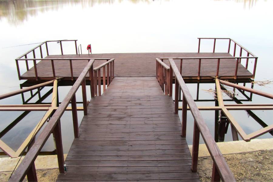
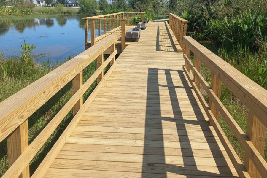
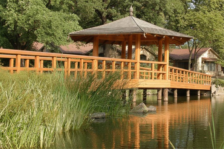
Pier Construction and Repair in Lake Palestine, TX

Piers on Lake Palestine long enough to clear shallow banks and drought lows

Bank Stabilization Services in Lake Palestine, Texas

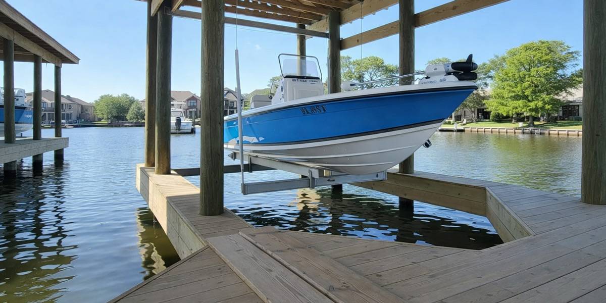
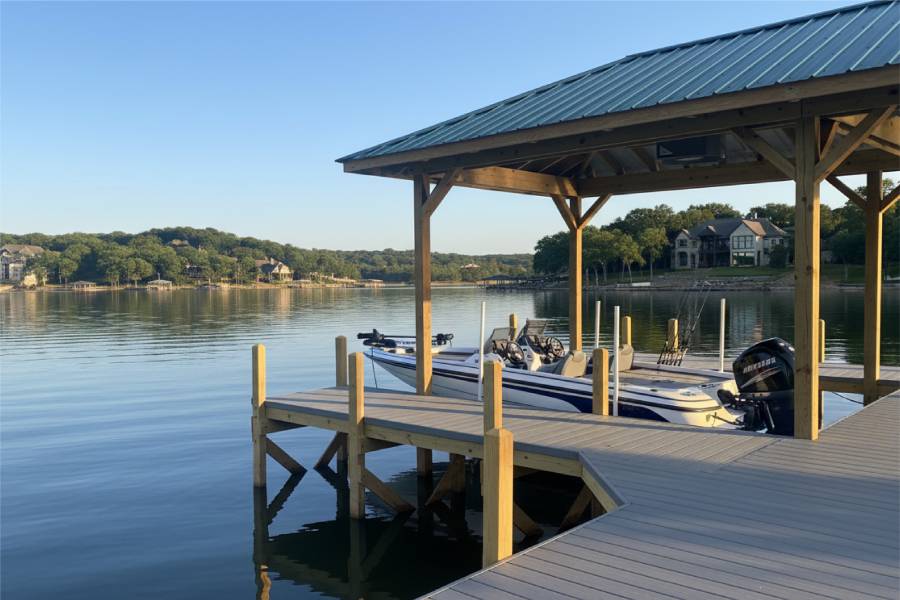
Dock and Boat Slip Construction and Repair in Lake Palestine, TX

Docks and boat slips on Lake Palestine's Kickapoo, Neches and Flat Creek arms

Bank Stabilization Services in Lake Palestine, Texas

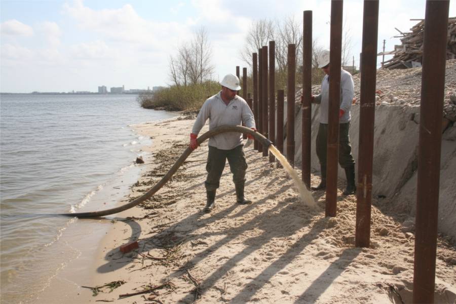
Marine Piling Installation in Lake Palestine, TX

Marine pilings on Lake Palestine placed around timber in the upper arms

Bank Stabilization Services in Lake Palestine, Texas

Waterfront Repair and Maintenance in Lake Palestine, TX

Repair of Lake Palestine docks and walls worn by wave action or low water

Bank Stabilization Services in Lake Palestine, Texas

Trust the Professionals!

Get a Free Consultation and Preliminary Cost Estimate
Bank Stabilization Services in Lake Palestine, Texas

Frequently Asked Questions About Bank Stabilization Services in Lake Palestine, TX

Does Lake Palestine drop much in drought?

Normal fluctuation is about 2.2 feet, but in the 2011 drought the boat launch near Chandler went dry and lakebed was exposed near the northwest end. Docks should be planned with low water in mind.

Are creek-arm lots on Lake Palestine different from main-lake lots?

Arms like Kickapoo Creek and the Neches River arm hold most of the vegetation and timber, while the stretch below the Texas 155 bridge has less natural cover. Debris load and exposure differ, and so does the right design.

Why do Lake Palestine docks often need to be long?

The lake averages only about 16 feet deep, and banks in many areas are shallow. A longer dock or pier reaches water deep enough for boats, especially when levels drop.

Do you build retaining walls on Lake Palestine as well as bulkheads?

Yes. Many lots pair a bulkhead at the water with a retaining wall higher up to level the yard and hold the slope.

How do I request a Lake Palestine shoreline estimate?

Send the address, photos of the bank and existing structures, and what you want to accomplish. Mention the creek arm if you are on one, and the free preliminary estimate will account for it.

Close
Close
loading